
Heavy thunderstorm potential late Wednesday night
Forecast models suggest scattered strong storms after midnight in some areas
Go Deeper.
Create an account or log in to save stories.
Like this?
Thanks for liking this story! We have added it to a list of your favorite stories.


It feels like June out there, and our warmer more humid air mass has the potential to spark some strong storms Wednesday night into Thursday.
Highs will push 80 degrees in southern Minnesota Wednesday afternoon.

Dew points are rising to around the 60-degree mark in Minnesota as a pool of moisture advects northward from the central Great Plains.

The combination of more moisture and warmer air will combine to increase thunderstorm chances overnight.
Turn Up Your Support
MPR News helps you turn down the noise and build shared understanding. Turn up your support for this public resource and keep trusted journalism accessible to all.
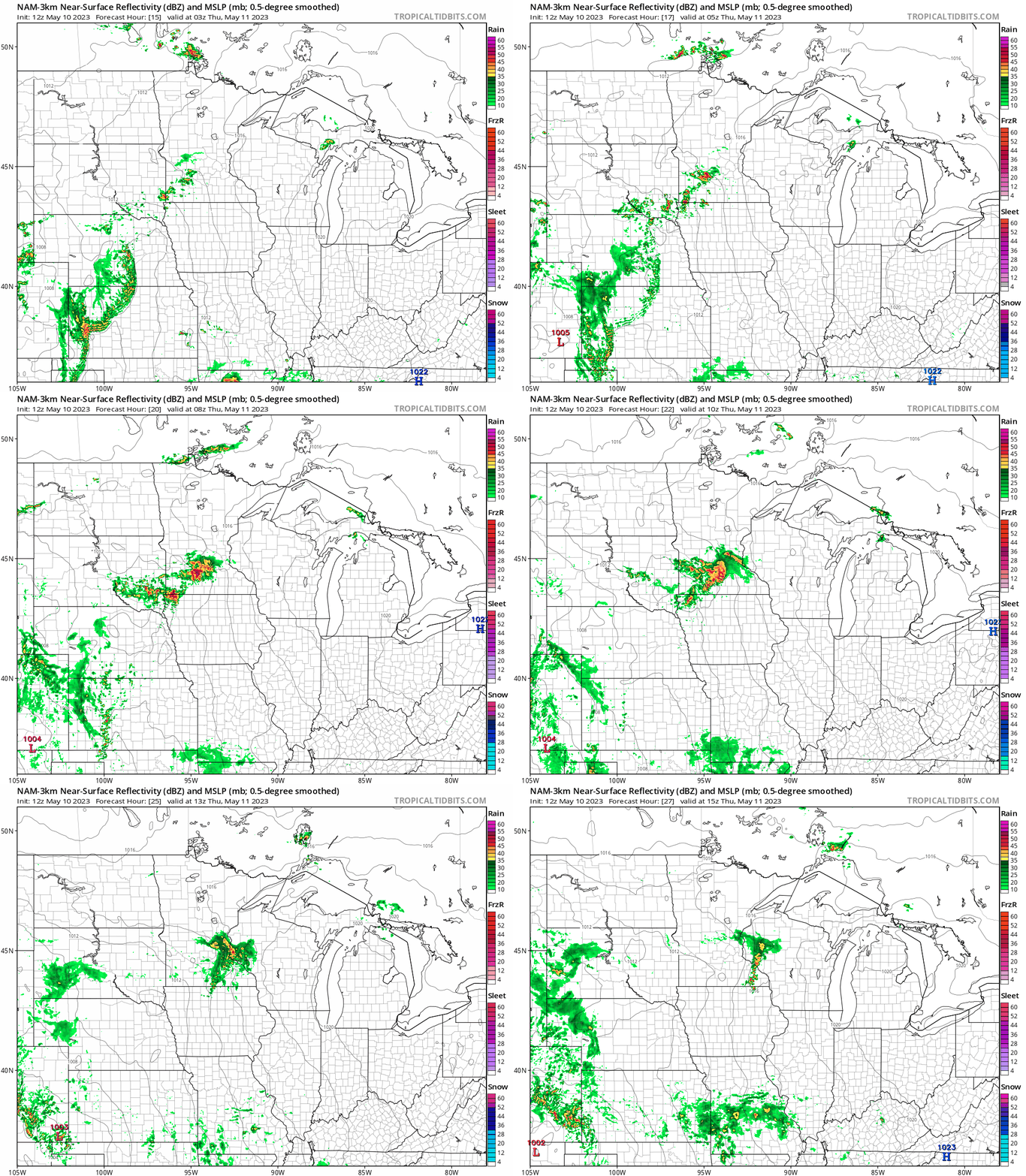
Several forecast models develop scattered thunderstorms in southern Minnesota overnight into Thursday morning. There are differences as usual in timing and coverage.
The National Oceanic and Atmospheric Administration’s NAM 3 km model suggests a cluster of storms developing in southwest Minnesota Wednesday evening moving into the greater Twin Cities area between about 3 a.m. and 9 a.m. Thursday morning.
The forecast model loop above runs between 10 p.m. Wednesday and 10 a.m. Thursday.
Locally heavy rainfall possible
There’s enough moisture in our more summery air mass to drop some locally heavy downpours in storms that develop. NOAA’s NAM 3 km model suggests localized multi-inch rainfall totals are possible in southern Minnesota Wednesday night into Thursday.

Highs Thursday likely push the 80-degree mark once again in southern Minnesota, with 70s all the way north to Canada.
It will feel more like June out there for the rest of this week.

