
Sun-rain mix, occasional thundershower into the weekend
Wildfire smoke from Canada may blow into Minnesota next week
Go Deeper.
Create an account or log in to save stories.
Like this?
Thanks for liking this story! We have added it to a list of your favorite stories.


Our June-like weather pattern persists into the upcoming weekend.
We’ll enjoy many dry hours with mixed sunshine, but there will also be occasional spotty rain and thunder into early Sunday.
The National Oceanic and Atmospheric Administration’s Global Forecast System model shows the scattered rain bands moving through. The loop below runs between 7 a.m. Friday and 1 p.m. Sunday.
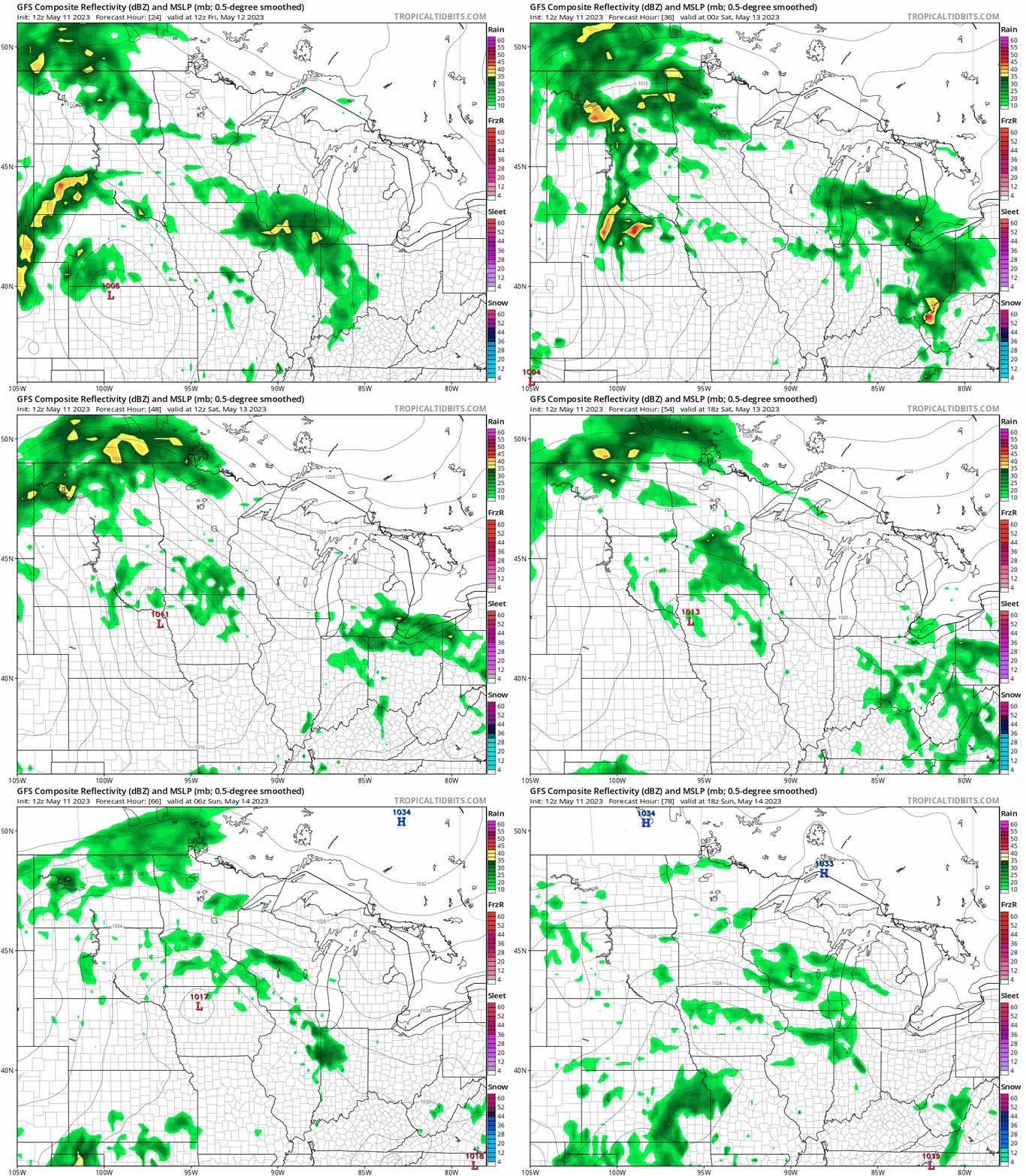
Rainfall totals will again be heaviest in southwestern Minnesota closer to the surface low. Another 1 to 3 inches of rain is likely in that region, especially Saturday.
Turn Up Your Support
MPR News helps you turn down the noise and build shared understanding. Turn up your support for this public resource and keep trusted journalism accessible to all.
The Twin Cities and central Minnesota may see another inch of rain by Sunday.

Highs will run in the 70s again Friday.

The coolest day will be Sunday with highs in the 60s.
Smoky skies next week?
A massive heat wave in Canada’s northwest has helped fuel numerous wildfires. The upper-air flow next week will shift into the northwest. That may blow some of that smoke plume across Minnesota.

We may see elevated smoke next week, and we’ll have to watch to see if any smoke layers mix down to ground level and impact our air quality.
Stay tuned.

