
Extreme drought emerges; extreme heat likely next week
Forecast models approaching 100 degrees in the Upper Midwest next week.

Go Deeper.
Create an account or log in to save stories.
Like this?
Thanks for liking this story! We have added it to a list of your favorite stories.


Extreme drought has returned to Minnesota.
This week’s U.S. Drought Monitor update shows extreme drought popping up in some areas near the Twin Cities and Rochester. (Deep red colors on map above)
It’s not a big surprise considering the gorwing rainfall deficits around parts of MInnesota. The rainfall deficit compared to the average has grown to more than 5 inches now at MSP Airport since June 1. Most of Minnesota has recorded less than half of average rainfall in the past 30 days.

Extreme heat likely next week
Turn Up Your Support
MPR News helps you turn down the noise and build shared understanding. Turn up your support for this public resource and keep trusted journalism accessible to all.
I’ve been talking about the potential for a significant Midwest heatwave next week for days now. Thursday’s forecast models continue the trend.
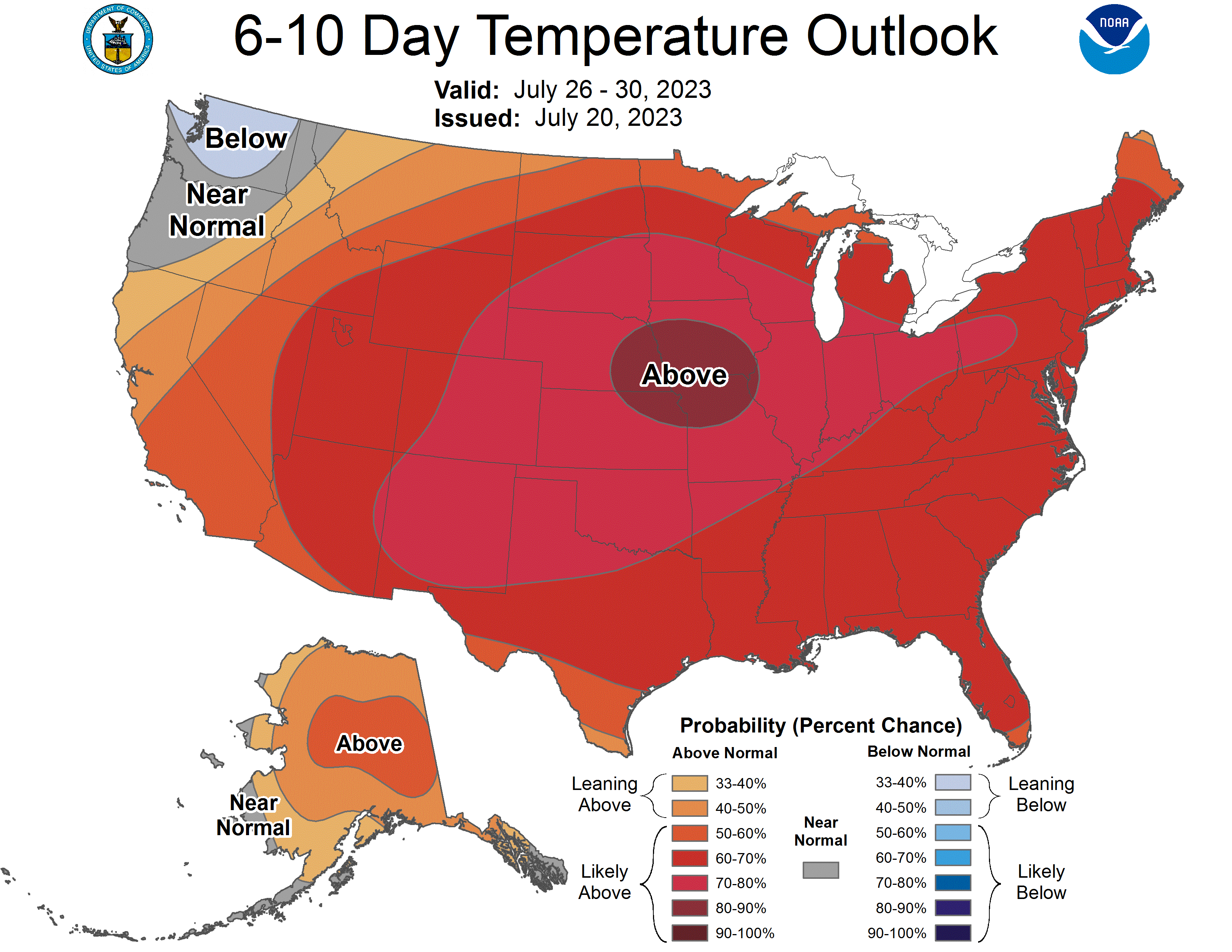
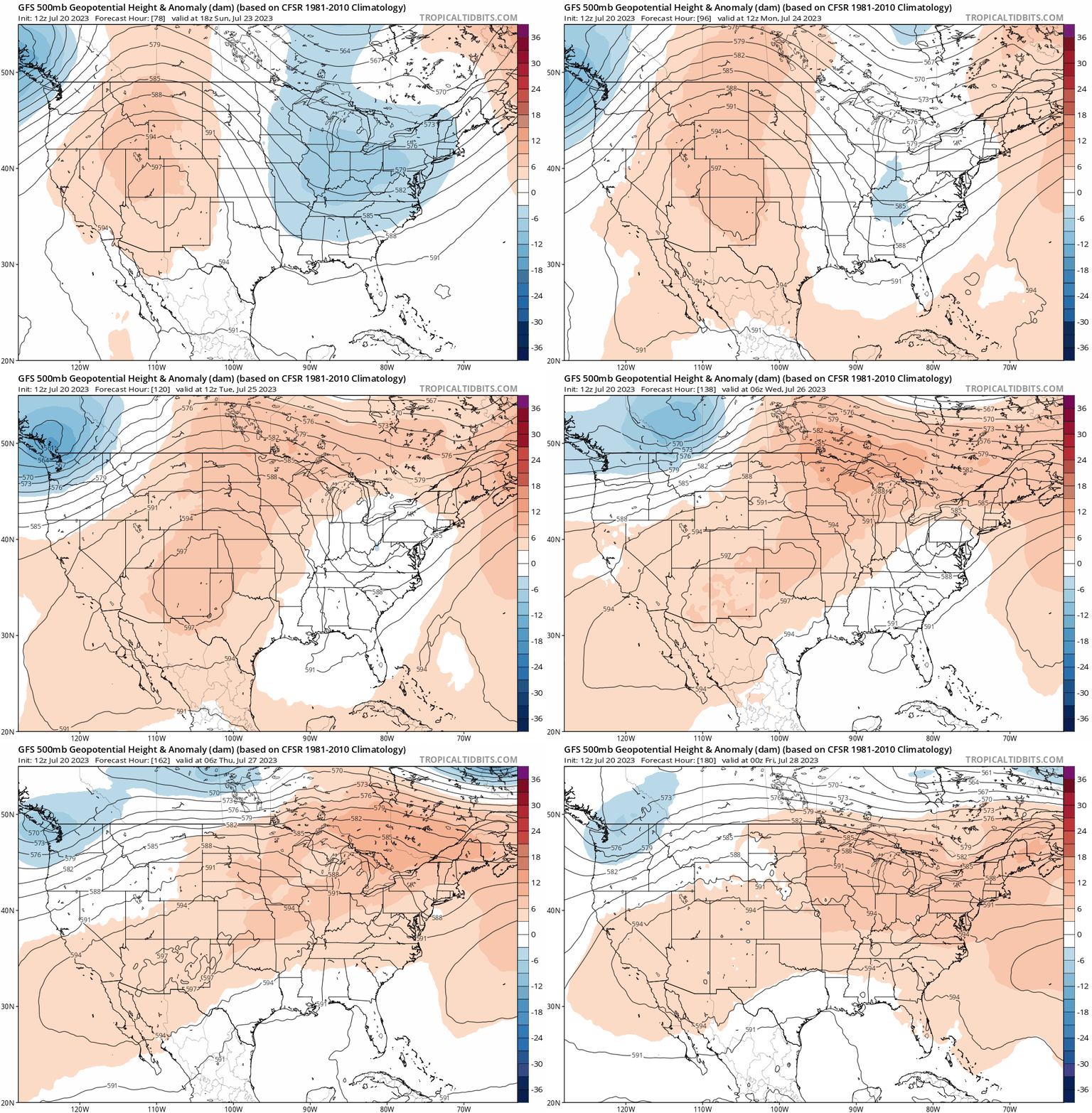
NOAA’s upper air (500 millibar) forecast shows a heat dome building across the Upper Midwest next week. This type of upper-level pattern translates to extreme heat at the ground where we live.
The loop below runs between Sunday and next Thursday.
Both the European and American GFS models are cranking out high temperatures between 95 and 100 degrees next week for much of the Dakotas and Minnesota.

It looks like next week could be the hottest week of summer for many locations.
Stay tuned.

