
Weekend soaker? Models bring rain chances this weekend
Forecast models differ on timing and eventual rainfall totals

Go Deeper.
Create an account or log in to save stories.
Like this?
Thanks for liking this story! We have added it to a list of your favorite stories.


Weather fingers are crossed. And toes.
This weekend’s forecast model output brings the best chance for widespread rainfall in weeks to southern Minnesota including the Twin Cities area.
Of course, there are still model differences in eventual rainfall timing, coverage and totals. But the maps look promising for a decent soaking in the drought zone we call Minnesota for the first time in weeks.
Slowly moving low-pressure system
The forecast models track a relatively slow-moving low-pressure system to our south this weekend.
Turn Up Your Support
MPR News helps you turn down the noise and build shared understanding. Turn up your support for this public resource and keep trusted journalism accessible to all.
The European Centre for Medium-Range Weather Forecasts model is among those that crank out widespread rain and thunder cells roaming across southern Minnesota Saturday and Sunday. The forecast model loop below runs between 7 a.m. Saturday and 1 a.m. Monday.
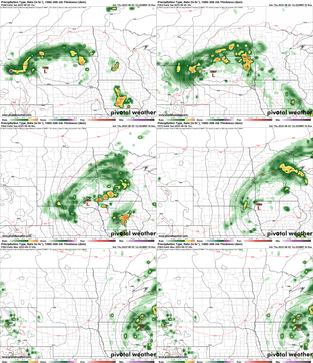
Overall rainfall totals look variable once again. Here is the European model rainfall output for this weekend:

Let’s see where the forecast models are on rain coverage Friday.
Stay tuned.

