
Next widespread rain chances arrive Thursday night
Scattered storms north Tuesday night. Isolated storms possible Wednesday.
Go Deeper.
Create an account or log in to save stories.
Like this?
Thanks for liking this story! We have added it to a list of your favorite stories.


We’re watching the Doppler eagerly in hopes of widespread rainfall this summer.
As of this post, scattered thunderstorms are bringing some locally heavy rainfall to parts of northern Minnesota. The MPR weather interactive radar shows storms scattered across northern Minnesota as of 5:10 pm. These cells will generally move eastward Tuesday evening.

NOAA’s Storm Prediction Center suggests there is a marginal chance for severe storms up north Tuesday evening, but anticipates only a 20 percent chance of a severe weather watch.
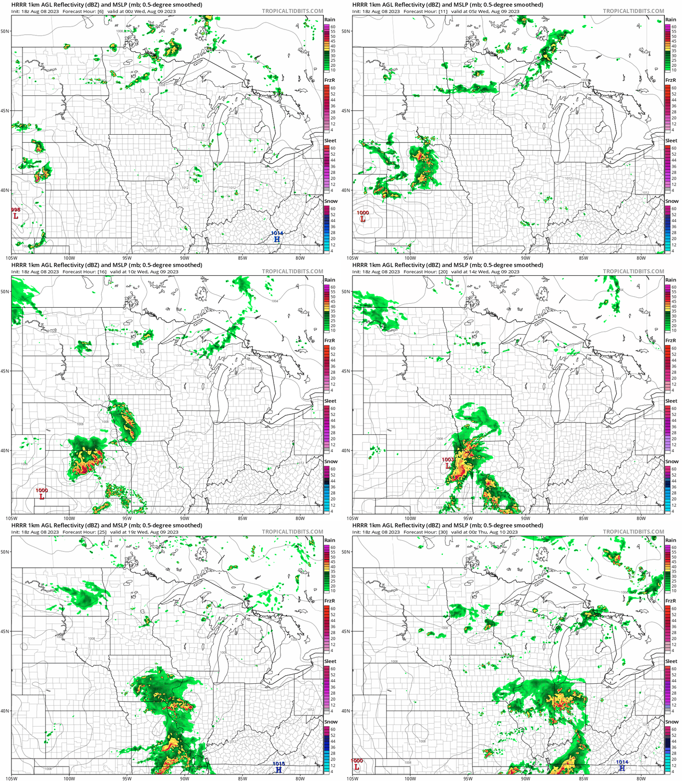
NOAA’s HRRR model suggests storms will fade up north overnight, with a few isolated storms forming again Wednesday evening across southern Minnesota possibly including parts of the Twin Cities.
More widespread rains Thursday and Friday nights?
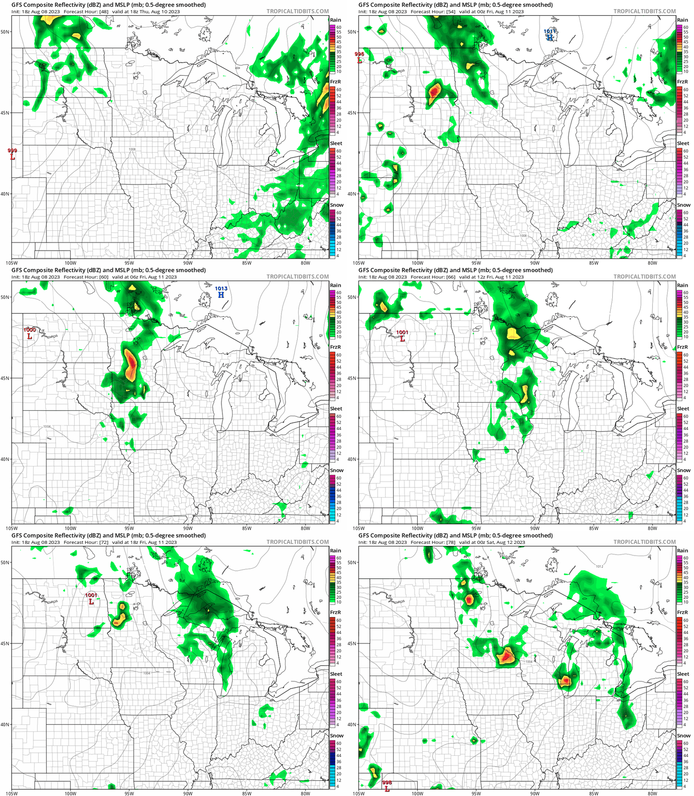
A couple of weather disturbances embedded in northwest flow look likely to trigger scattered thunderstorms Thursday and Friday nights.
NOAA’s GFS model shows cells crossing Minnesota Thursday evening and possibly arriving in the Twin Cities area around or after midnight. Another batch may arrive Friday night. The forecast model loop below runs between 7 a.m. Thursday and 7 p.m. Friday.
So fingers crossed for some additional rainfall this week.
Turn Up Your Support
MPR News helps you turn down the noise and build shared understanding. Turn up your support for this public resource and keep trusted journalism accessible to all.

