
Warming trend: 60s return this week
Fall colors popping around the Twin Cities

Go Deeper.
Create an account or log in to save stories.
Like this?
Thanks for liking this story! We have added it to a list of your favorite stories.


It doesn’t get much better than this, Minnesota.
Bright sunshine. Crisp blue autumn skies. Mild afternoons. Beautiful fall colors. And no mosquitoes.
We enjoy a nice run of fine fall weather for the first half of this week. A lazy high-pressure system brings plenty of sun and milder temperatures through Tuesday.
Highs this Monday afternoon will reach the 60s in western Minnesota, with 50s in the Twin Cities and eastern Minnesota.
Turn Up Your Support
MPR News helps you turn down the noise and build shared understanding. Turn up your support for this public resource and keep trusted journalism accessible to all.

Overnight lows will once again dip into the upper 30s in most of Minnesota.

But highs Tuesday will recover into the 60s across most of Minnesota with abundant sunshine.

By Wednesday highs in the 60s will favor southern Minnesota.

Light showers Wednesday
A weak low-pressure system will slide across Minnesota Wednesday. The system will produce scattered mostly light rain showers favoring northern Minnesota early. The best chance of showers in the Twin Cities and southern Minnesota favors Wednesday evening.
The National Oceanic and Atmospheric Administration’s NAM 3 km model shows the likely shower scenario on Wednesday. The loop below runs between 7 a.m. and 7 p.m. Wednesday.
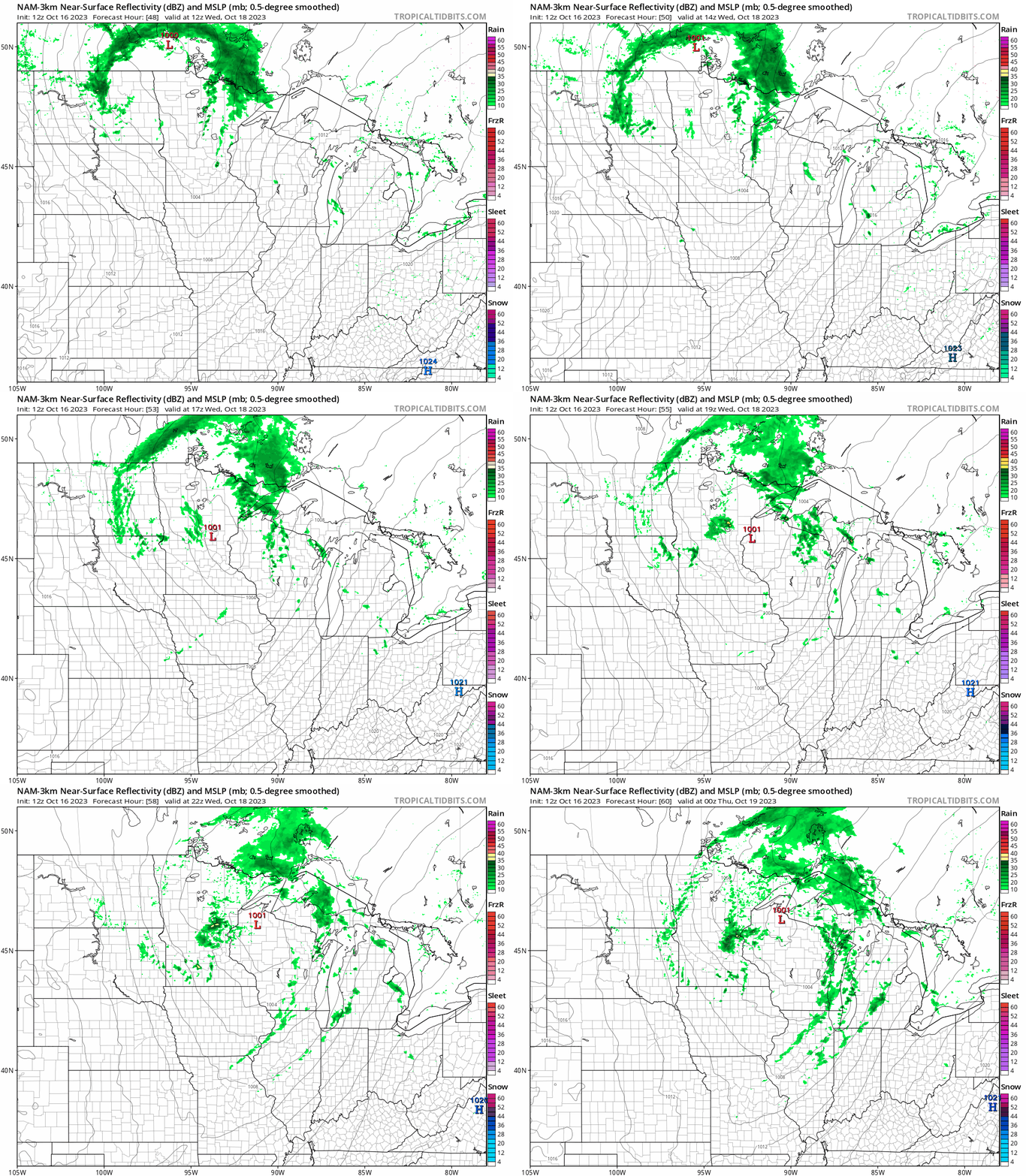
Overall precipitation totals look light.
So far October is running 3.3 degrees warmer than average in the Twin Cities through the first 15 days of the month. The average high and low temperatures are now 58 and 41 for the Twin Cities.

