
Super soaker drops 3 inches of rain; drier days ahead
Nearly a month's worth of rain fell west of the Twin Cities this week
Go Deeper.
Create an account or log in to save stories.
Like this?
Thanks for liking this story! We have added it to a list of your favorite stories.


Our May super soaker is producing some prolific rainfall totals around parts of Minnesota.
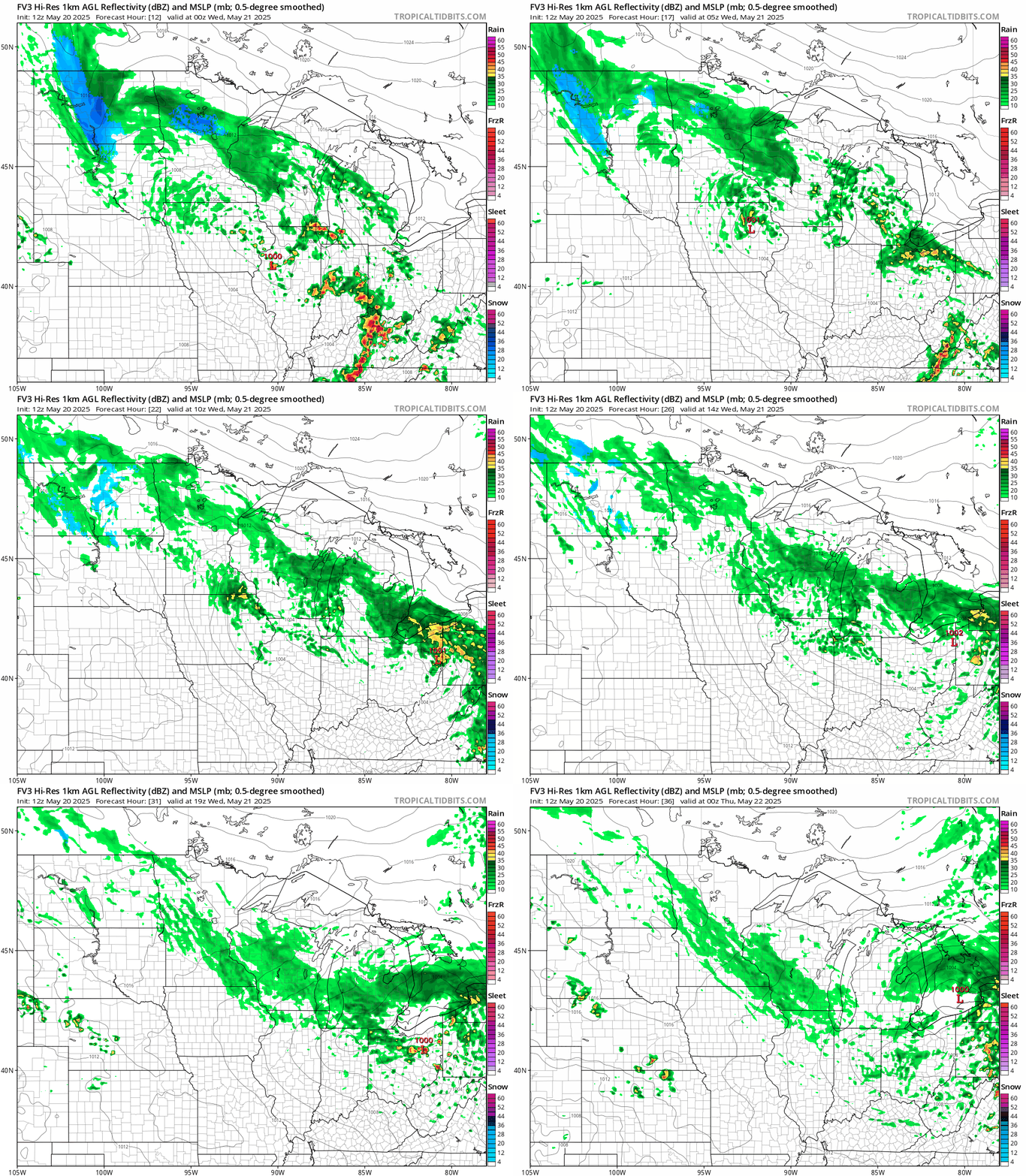
Areas from the Twin Cities west and northwest have recorded 2 to more than 3 inches of rainfall so far. It’s still raining in many areas overnight into Wednesday.
Here’s an updated listing of the top rainfall totals so far:

Again, many of these locations have had plenty of rain since the observation was reported. I expect we may see several places with rainfall totals of more than 4 inches by late Wednesday!
Turn Up Your Support
MPR News helps you turn down the noise and build shared understanding. Turn up your support for this public resource and keep trusted journalism accessible to all.
Now look at last week’s drought conditions update for Minnesota:

You can see the heavy rain zone this week should fall across a big abnormally dry-to-drought zone west of the Twin Cities.
Rainfall after 7 a.m. Tuesday won’t be factored into this week’s update, but it looks like the abnormally dry zone is pretty much wiped out. Drought in much of western Minnesota is likely over.
Unfortunately, the significant rains missed the drought zone and fire areas in northern Minnesota.
Decent Memorial Day weekend
Memorial Day weekend is climatologically the wettest of the three big summer holiday weekends in Minnesota.
This looks to be a decent weekend overall. Temperatures will run cool with highs mostly in the 60s. A mix of clouds and sun will keep a stray showers chance especially on Memorial Day.

There are signs of much warmer air late next week. The European Centre for Medium-Range Weather Forecasts model is cranking out 85 degrees for the Twin Cities by Friday May 30.
Hang in there. Summer is still scheduled.

