
Excellent air quality news; heavy rain signal setting up this weekend?
Canadian rains may ease Minnesota smoke; flash flood potential here this weekend

Go Deeper.
Create an account or log in to save stories.
Like this?
Thanks for liking this story! We have added it to a list of your favorite stories.


How about some great air quality news for a change? The Minnesota Pollution Control Agency canceled the air quality alert for northern Minnesota early on Wednesday. Smoke has moved out of our area.
Air quality over Minnesota is in the good to moderate range on this Wednesday afternoon:

Heavy rain in many Canada wildfire zones
And there’s good news in those massive Canadian wildfire zones this week. Widespread heavy rainfall is happening in many of the worst wildfire zones in Canada.
Forecast models suggest anywhere from 2 to 5 inches of rain could fall in some of the fire zones. That won’t extinguish all fires, but it may suppress fire activity and greatly reduce the amount of smoke upstream of Minnesota.
Turn Up Your Support
MPR News helps you turn down the noise and build shared understanding. Turn up your support for this public resource and keep trusted journalism accessible to all.
The Minnesota Pollution Control Agency elaborates on the probability of considerably less if any smoke in Minnesota for at least the next week:
More good news - heavy rain is forecast through Fri morning across many of the large, active wildfires in central Canada. MN will likely be free of heavy surface smoke for *at least* the next 7 days. That said, the Canadian wildfire season is not over yet, and MN has historically seen heavy smoke incursions into mid-Sept. But at least for the time being, we can take a breather.
If the trend of significant rainfall in Canada continues, we may enjoy more trademark Minnesota blue skies and cleaner air for the next few weeks. We could be getting the last few weeks of our summer back.

Heavy rainfall potential this weekend
It’s beautiful out there on this classic summer Wednesday. Temperatures in the 70s and low 80s and dew points in the comfy 50s are about as good as it gets in a Minnesota summer.
But steamy tropical air will seep back into Minnesota starting Thursday. Dew points will climb back into the sauna-like 70s into the upcoming weekend.
That deep tropical moisture will be fuel for a stalled warm front to spawn heavy and slowly moving storms from Thursday into this weekend. The heaviest rains look likely to fall Friday and Saturday nights.
The European Centre for Medium-Range Weather Forecasts model shows waves of strong thunderstorms with torrential downpours lingering in Minnesota between Friday night and Monday night.
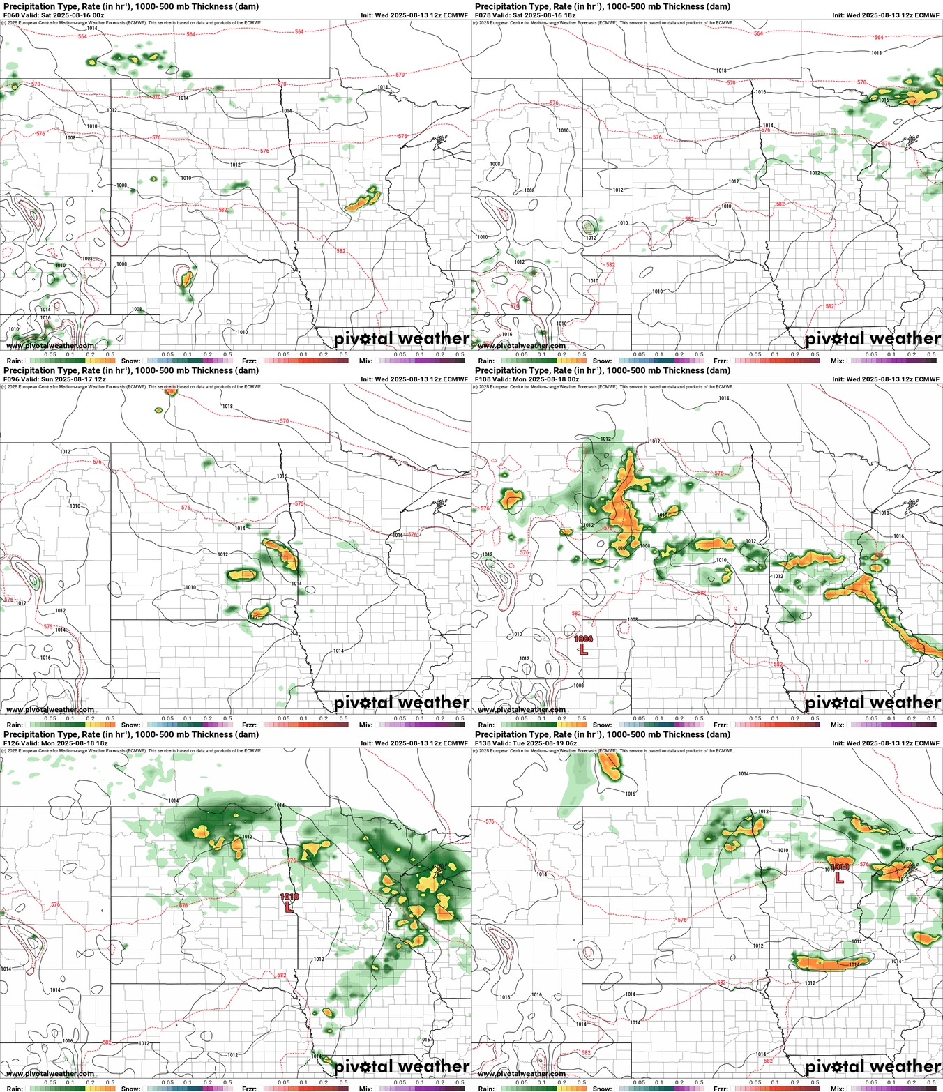
Overall rainfall totals could reach 2 to more than 5 inches locally in some areas.

It won’t rain all weekend but expect some heavy storms around from time to time.
Stay tuned.

