Scattered showers into Friday; October preview this weekend
Season's strongest cold front set to bring fall-like temperatures to Minnesota

Go Deeper.
Create an account or log in to save stories.
Like this?
Thanks for liking this story! We have added it to a list of your favorite stories.


Get ready for our first taste of autumn, Minnesota.

The season’s strongest cold front so far will bring October-like temperatures to Minnesota this weekend. But first we watch scattered showers and a few thunderstorms around parts of Minnesota through Friday.
Scattered thunderstorms are ongoing across parts of northern Minnesota as of this posting late Thursday. There is a slight risk for a severe cell or two across northwest Minnesota through Thursday night.
Here’s the latest convective (storm) outlook for northwestern Minnesota from the National Oceanic and Atmospheric Administration:
Turn Up Your Support
MPR News helps you turn down the noise and build shared understanding. Turn up your support for this public resource and keep trusted journalism accessible to all.
Friday brings high temperatures in the 70s to Minnesota.

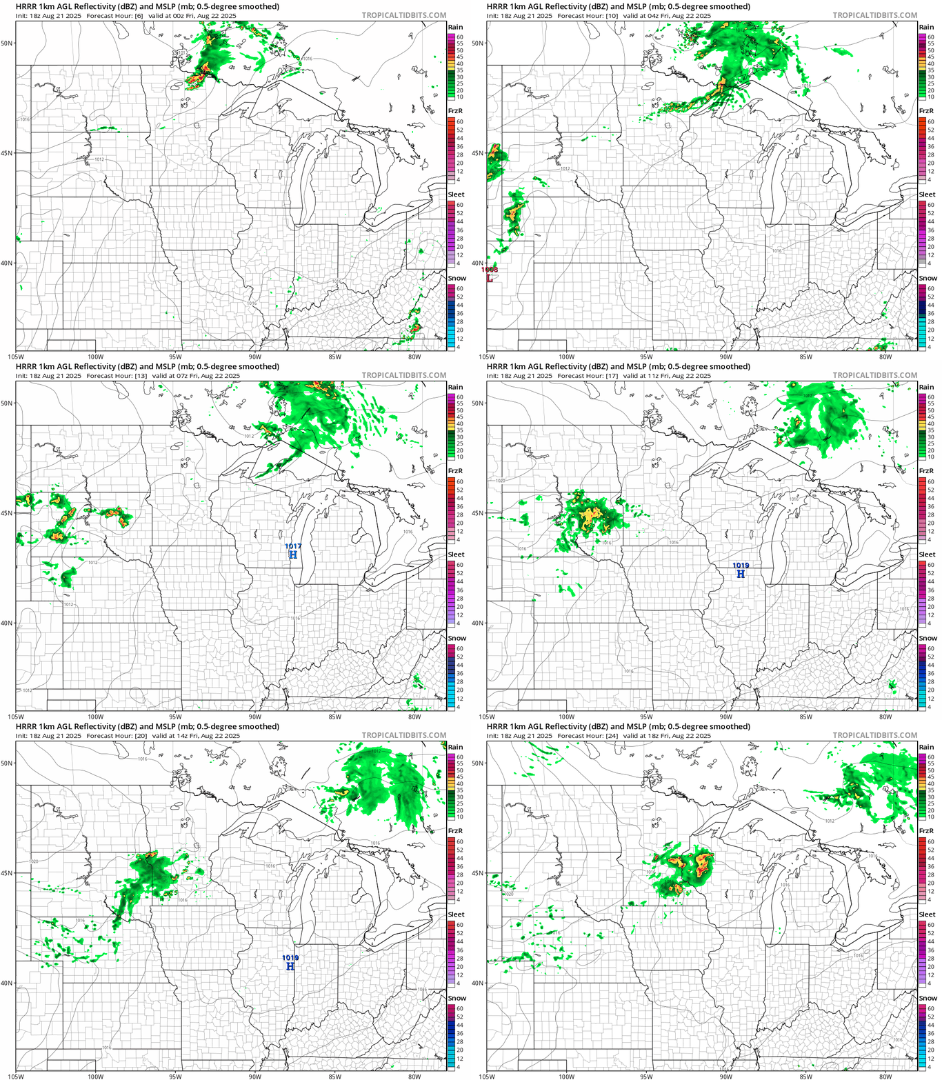
The cool front may trigger a few scattered showers and possibly a thunderstorm as it moves though Friday.
On the map below, NOAA’s High-Resolution Rapid Refresh model suggests we could see a few scattered showers moving through the Twin Cities area in the late morning to midday hours.
There is a marginal (low) risk for a severe storms Friday across much of Minnesota.
October preview this weekend
This weekend will feel more like October than late August in Minnesota. Saturday brings brisk northwest breezes and temperatures in the 60s that will struggle to reach 70 degrees in the Twin Cities.

Lows Sunday morning may have you reaching for furnace settings that you forgot how to use. Lows in the 40s will be common. I won’t be surprised to see some 30s in the colder nooks and crannies of northeastern Minnesota, especially by Monday morning.
Highs Sunday will be in the 60s across Minnesota. The last time we didn’t hit 70 degrees on any day in August in the Twin Cities was in 2017!
So far, August is running 2.7 degrees warmer than normal in the Twin Cities. It looks like next week we will gradually climb back through the 70s, so our cold snap will only last a couple of days.
The normal high and low temperatures for the Twin Cities are now 80 and 62 degrees.
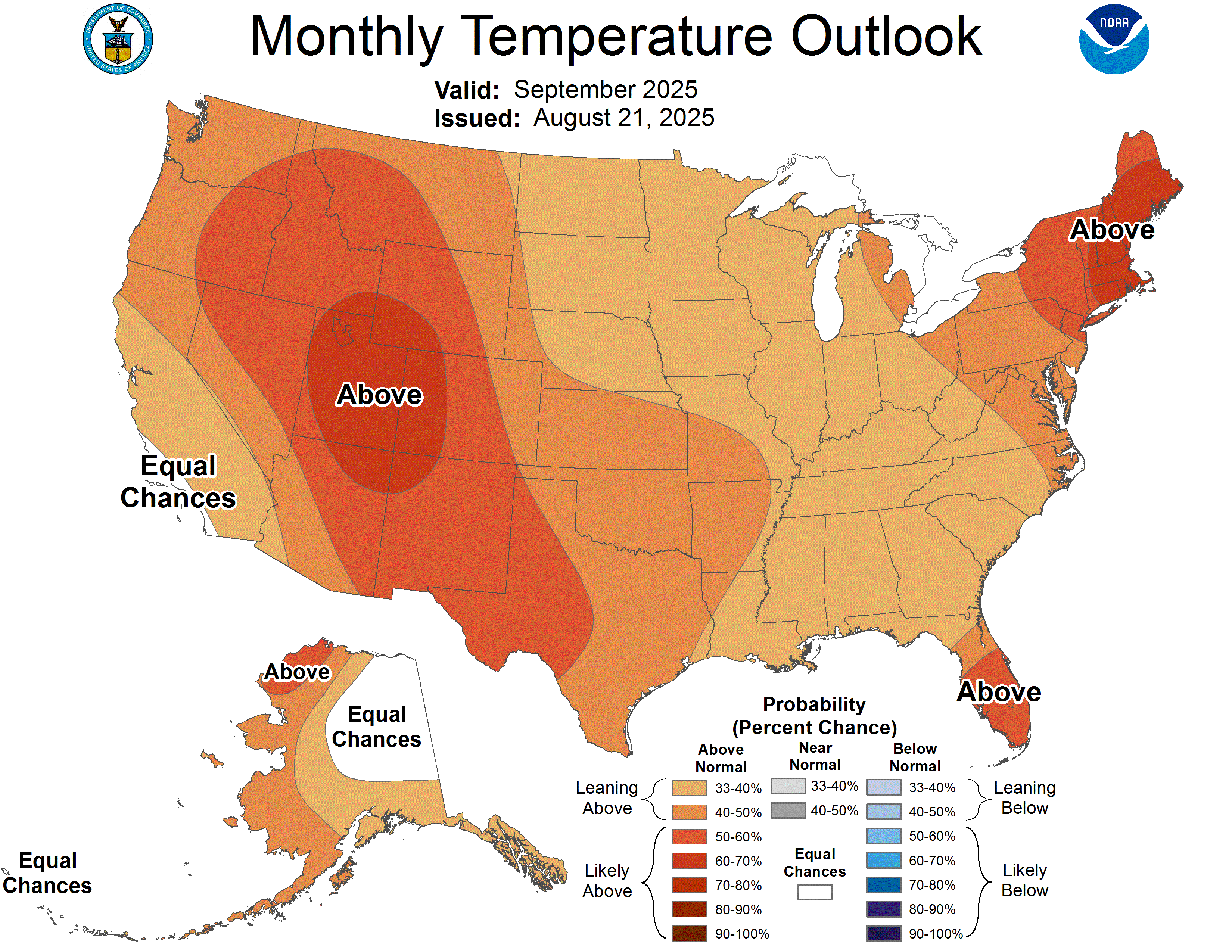
Thursday’s new monthly temperatures outlook for September slightly favors warmer than normal temperatures overall: