A taste of fall this weekend across Minnesota
Highs mostly in the 60s will feel like October
Go Deeper.
Create an account or log in to save stories.
Like this?
Thanks for liking this story! We have added it to a list of your favorite stories.


Welcome to the first fall-like weekend of late summer 2025. A cold front blows through Minnesota on Saturday and brings us the coolest air mass of the season so far.
Our normal high this weekend in the Twin Cities is still hovering at 80 degrees. Temperatures this weekend will run between 10 and 15 degrees cooler than normal for this time of year. Highs in the mid-60s are typical for the first week of October!
Highs Saturday will run mostly in the 60s across Minnesota to near 70 degrees in the Twin Cities and southern Minnesota.

Sunday’s weather maps will remind us that the calendar will soon turn to September. Highs will hover in the 60s in most of Minnesota with 50s in northeastern Minnesota!
Turn Up Your Support
MPR News helps you turn down the noise and build shared understanding. Turn up your support for this public resource and keep trusted journalism accessible to all.

On the map below, check out the low temperatures for Monday morning. Lows in the 40s will be common. I won’t be surprised to see a few spots dip into the upper 30s Monday morning in parts of northeastern Minnesota.

Temperatures recover next week
The last week of August will start on cool notes Monday but feel more like late summer again as the week rolls on. Highs will warm back through the 70s next week and approach 80 degrees again in the south by Thursday.

Plenty of sunshine and little or no precipitation is forecast through most of next week.
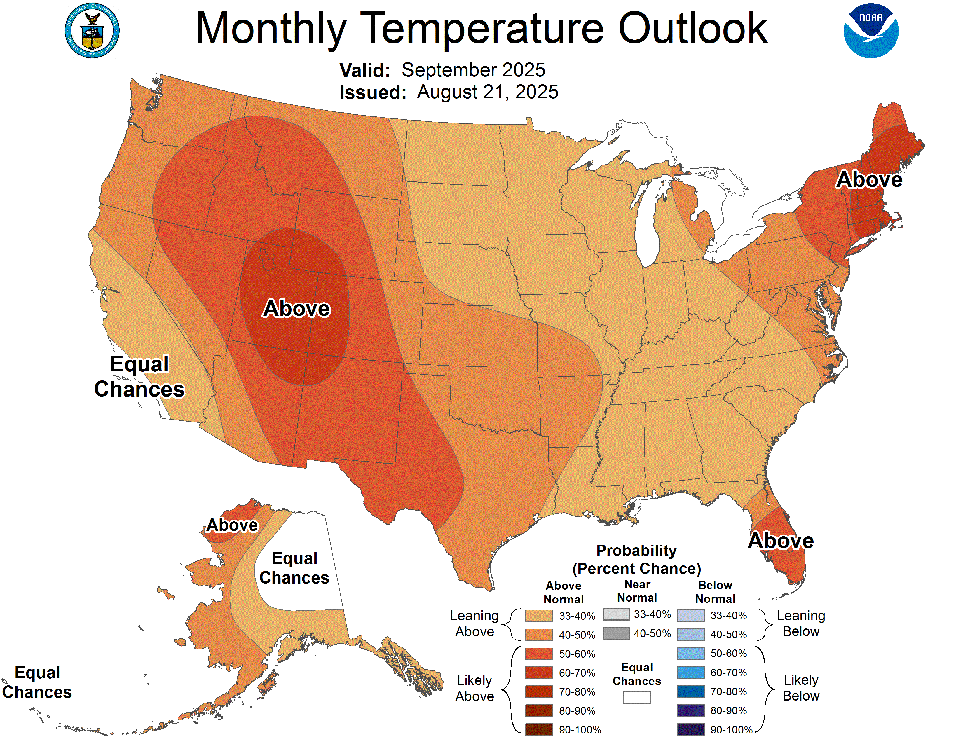
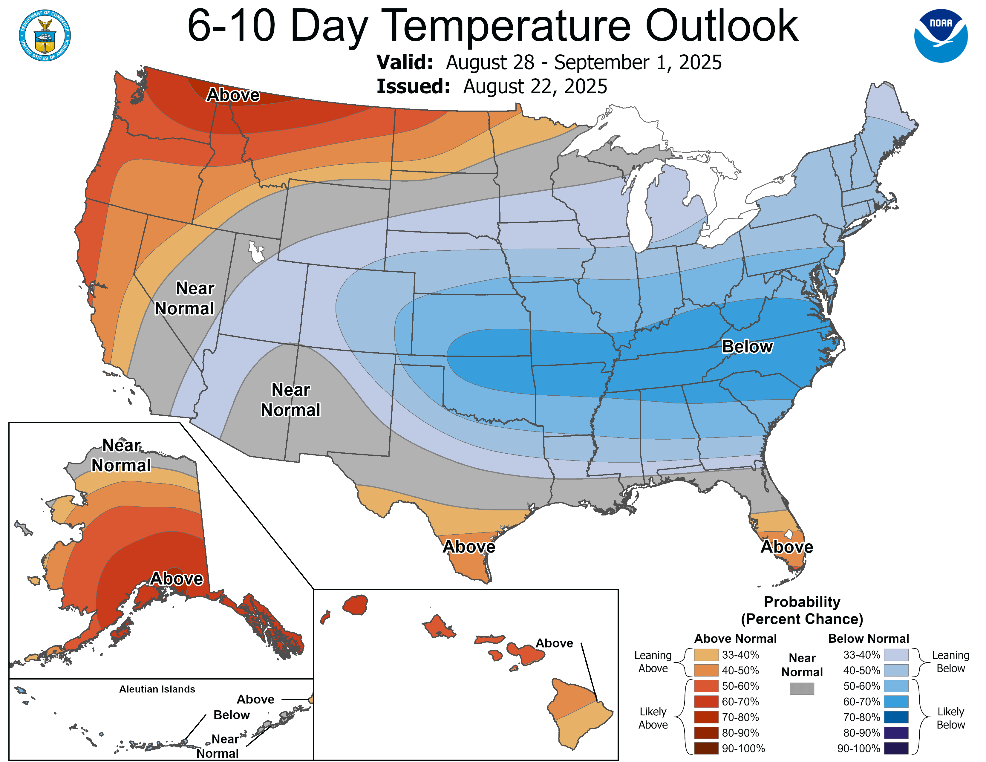
The National Oceanic and Atmospheric Administration’s outlooks continue to slightly favor warmer-than-normal temperatures overall for September: