
Warming trend kicks in; mostly 70s this week
Pleasant temperatures and humidity levels for this last week of August.

Go Deeper.
Create an account or log in to save stories.
Like this?
Thanks for liking this story! We have added it to a list of your favorite stories.


Welcome to San Diego.
Our Minnesota air mass this week will feel like San Diego in terms of temperature and humidity. Highs in the 70s and dew points in the 40s are nearly ideal for human comfort this week. We’ll have very little to complain about when it comes to weather around these parts.
Tuesday brings highs in the 70s to our fair state.

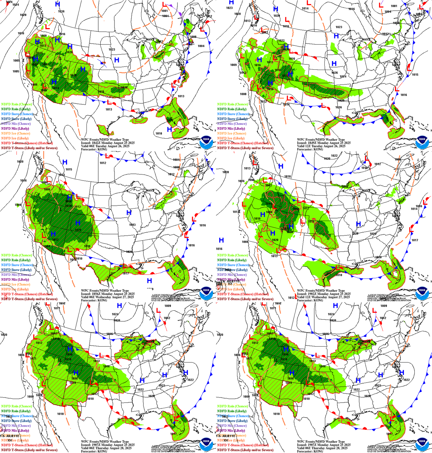
Fair-weather high pressure will drift across Minnesota this week. Minor ripples may leak a few showers especially Wednesday. NOAA’s surface map loop shows the trend through 7 p.m. Wednesday.
Turn Up Your Support
MPR News helps you turn down the noise and build shared understanding. Turn up your support for this public resource and keep trusted journalism accessible to all.
Highs Wednesday will feel like summer once again with upper 70s in the south.

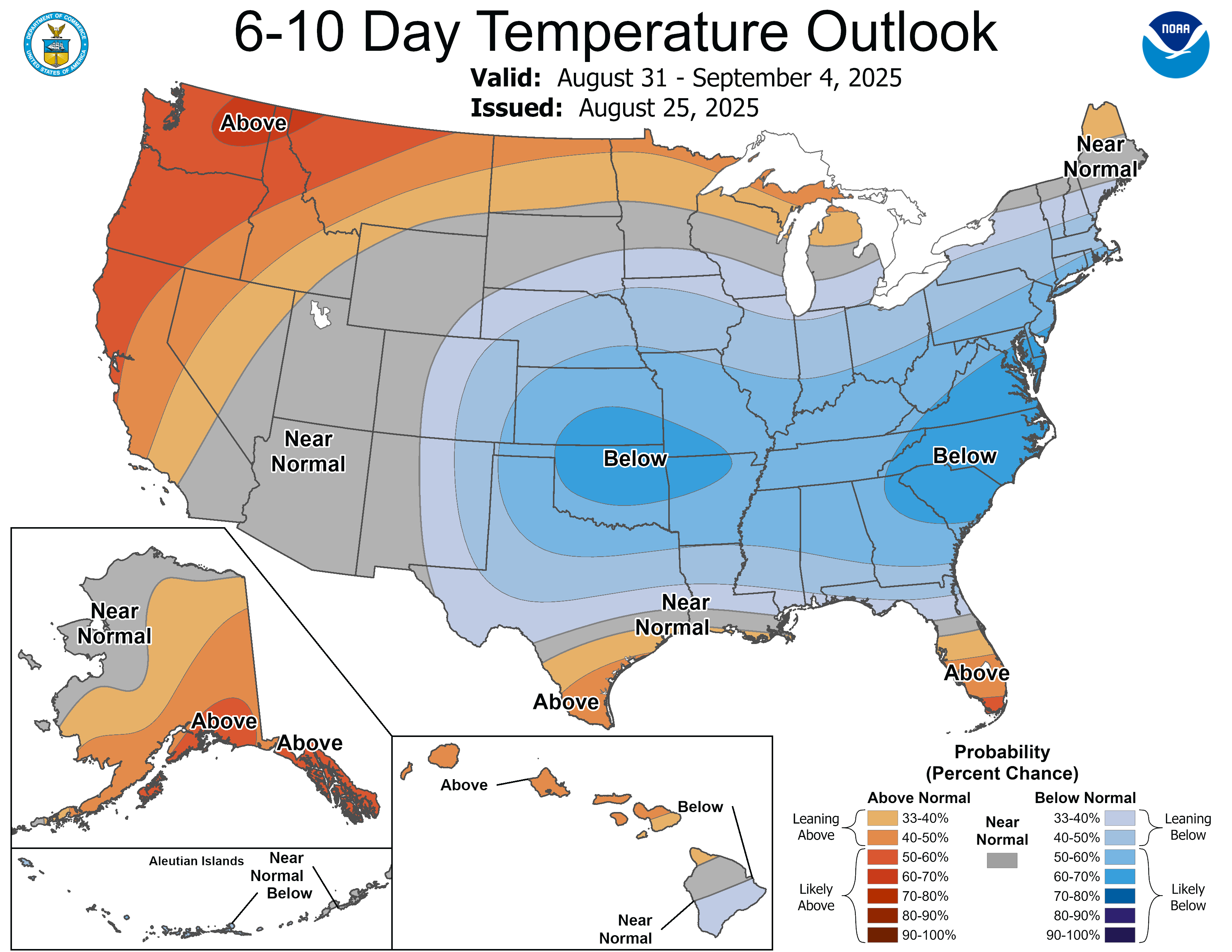
Right now our weather pattern looks fairly dry with pretty stable temperatures for the next week or so. NOAA’s 6 to 10-day temperatures outlook favors near normal temperatures into next week.
The normal high and low temperatures for the Twin Cities this week are 79 and 61.
Enjoy our fine late summer weather pattern!

