
Late summery holiday weekend, strong September cold front next week!
Isolated thundershowers possible through the upcoming weekend. 10 to 20 degrees colder next week.
Go Deeper.
Create an account or log in to save stories.
Like this?
Thanks for liking this story! We have added it to a list of your favorite stories.


Welcome to the last big holiday weekend of summer, Minnesota!
Labor Day weekend is climatologically the driest (and least severe) of our big 3 summer holiday weekends. Here’s a look at the historical frequency of severe weather warnings in the Twin Cities NWS Office area during the warm season.

Our balmy late summer air mass is set to linger through the upcoming Labor Day weekend. Pleasant temperatures and reasonably comfortable humidity will make for great outdoor enjoyment the next few days.
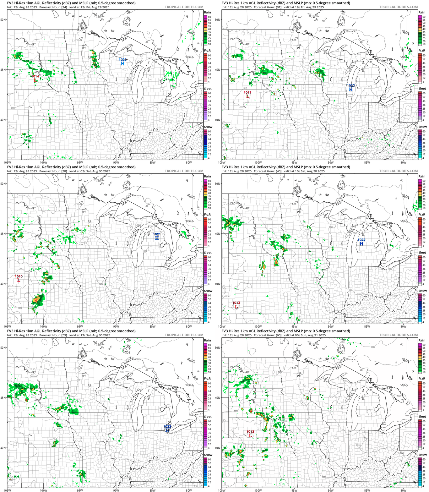
There’s just enough moisture and warmth around to brew up a few isolated showers and thundershowers too. Most of us will stay dry, but we could see a few brief localized downpours into the upcoming weekend.
Turn Up Your Support
MPR News helps you turn down the noise and build shared understanding. Turn up your support for this public resource and keep trusted journalism accessible to all.
NOAA’s FV3 model shows the random nature of a few pop-up thundershowers the next few days. The forecast model loop below runs between 7 am. Friday and 1 p.m. Sunday.
High temperatures through this upcoming weekend will hover generally in the pleasant 70s with some cooler 60s northeast.

September cold front ahead
Can you believe the calendar flips to September already next Monday?
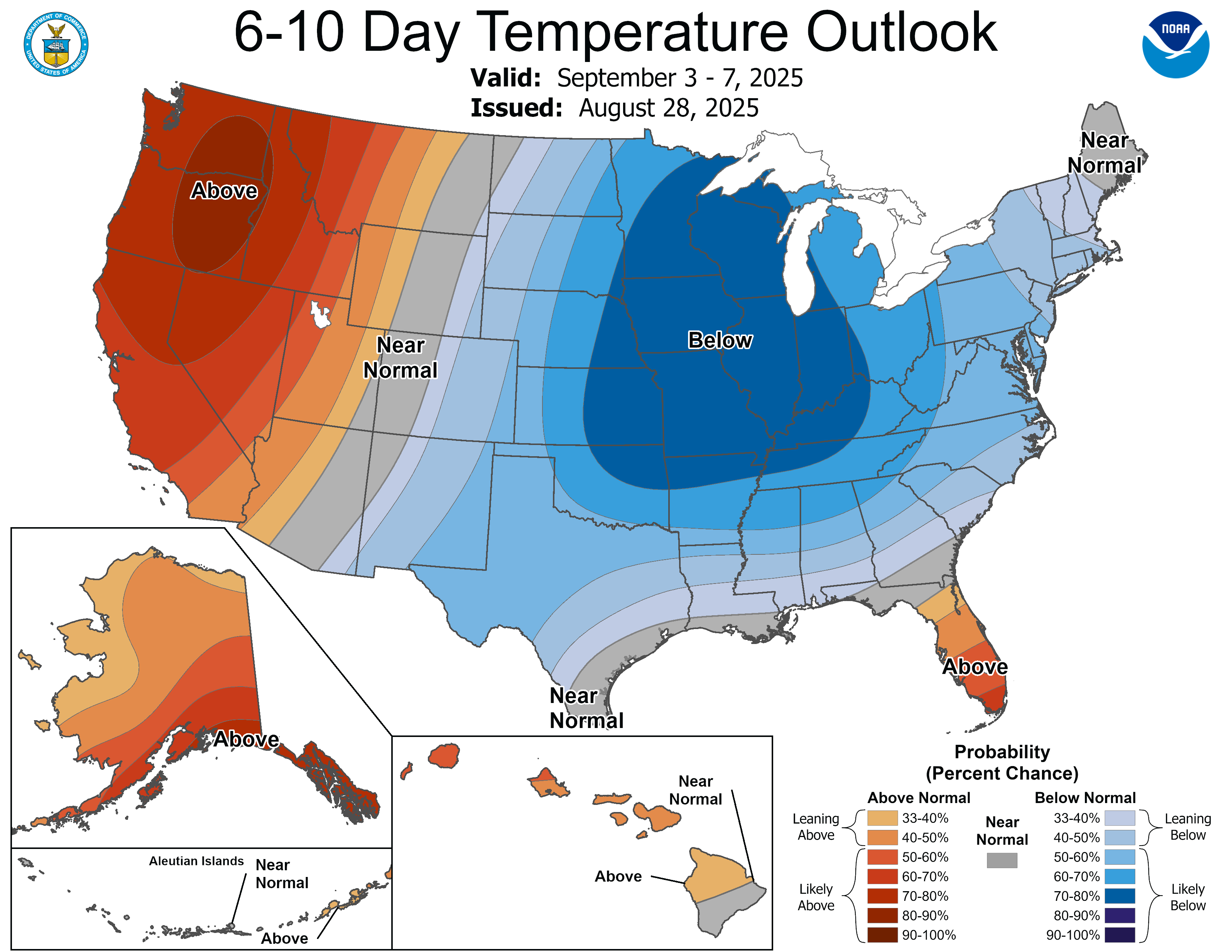
Our next cold front sweeps through Minnesota next Tuesday into Wednesday. Temperatures behind the front will be 10 to 20 degrees colder than the weekend.
We’ll likely see more frost in northeast Minnesota next week, and highs will not climb out of the 60s in the Twin Cities and the south by next Wednesday. Our weather maps feature distinct shades of blue next week.

‘Tis the season.
Stay tuned.

