
Second summer ahead: Balmy temperatures over the next 2 weeks
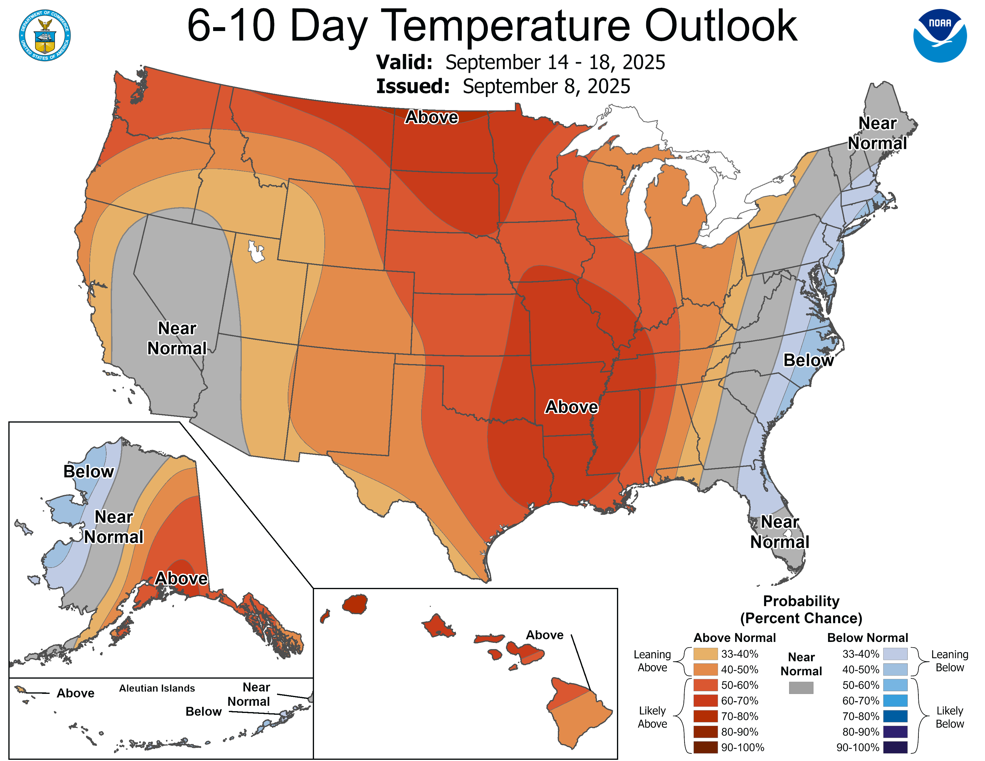
Highs in the 70s, 80s look common over the next couple weeks
Go Deeper.
Create an account or log in to save stories.
Like this?
Thanks for liking this story! We have added it to a list of your favorite stories.


The Hobbits loved what they called “second breakfast.” Here in Minnesota, we’re getting a second summer of sorts.
A shift of our weather pattern is bringing persistent, balmy southern breezes to Minnesota. This milder weather pattern looks likely to last for at least one to two weeks.
The normal high and low temperatures in the Twin Cities now are 75 and 57 degrees. It looks like we’ll be near or above those numbers for the foreseeable weather future.
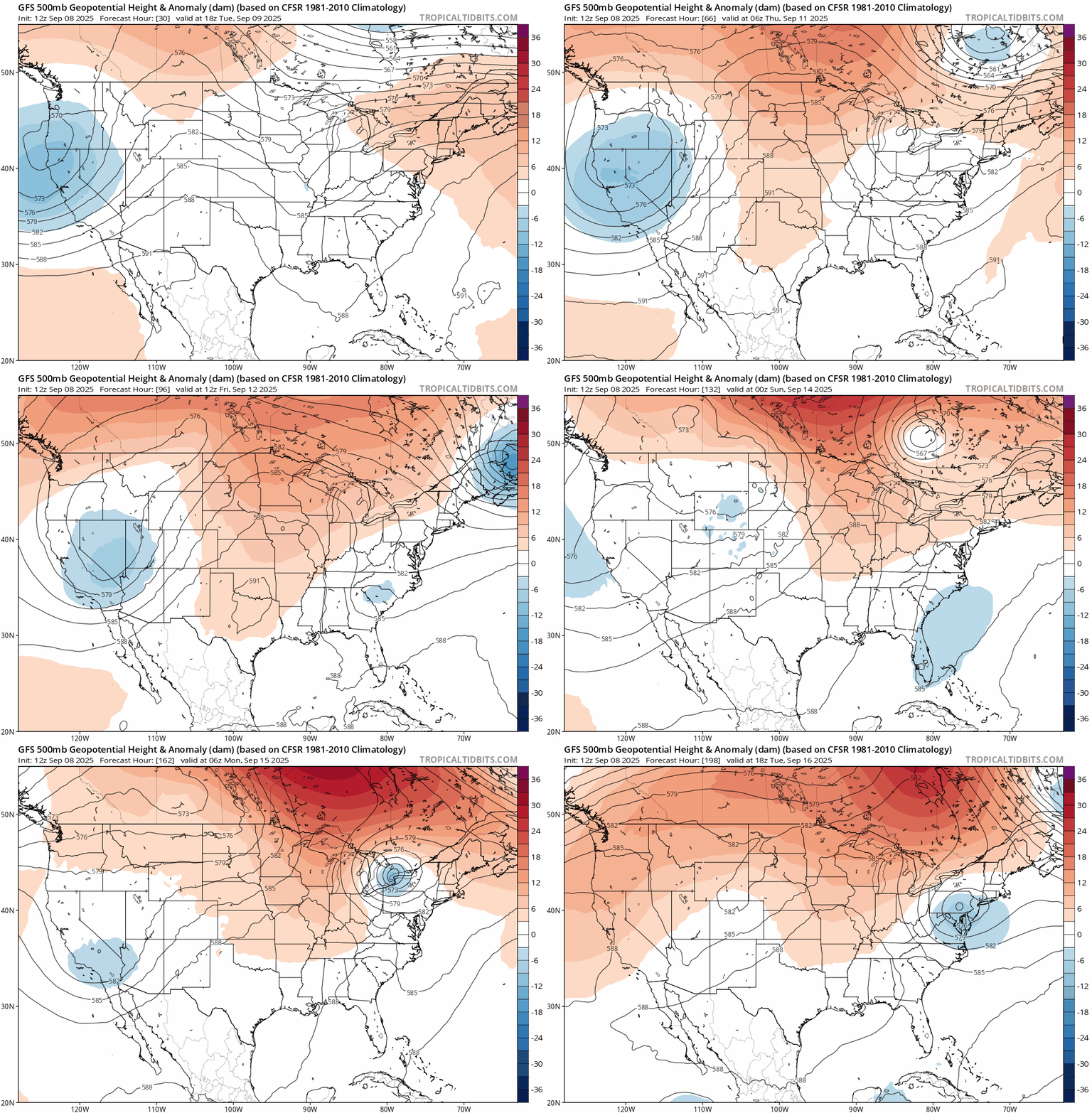
The National Oceanic and Atmospheric Administration’s Global Forecast System model is among the consensus that builds a fairly persistent high-pressure ridge across the Upper Midwest.
Turn Up Your Support
MPR News helps you turn down the noise and build shared understanding. Turn up your support for this public resource and keep trusted journalism accessible to all.
That should produce temperatures that are much warmer than normal across most of Canada and the northern United States for at least the next week.
Highs Tuesday will be in the balmy late-summer zone once again in western Minnesota with cooler temperatures east.

The thermal ridge, the warmest part of this air mass, arrives this weekend with highs in the 80s across a good part of Minnesota.

Scattered showers, thunderstorms through Tuesday
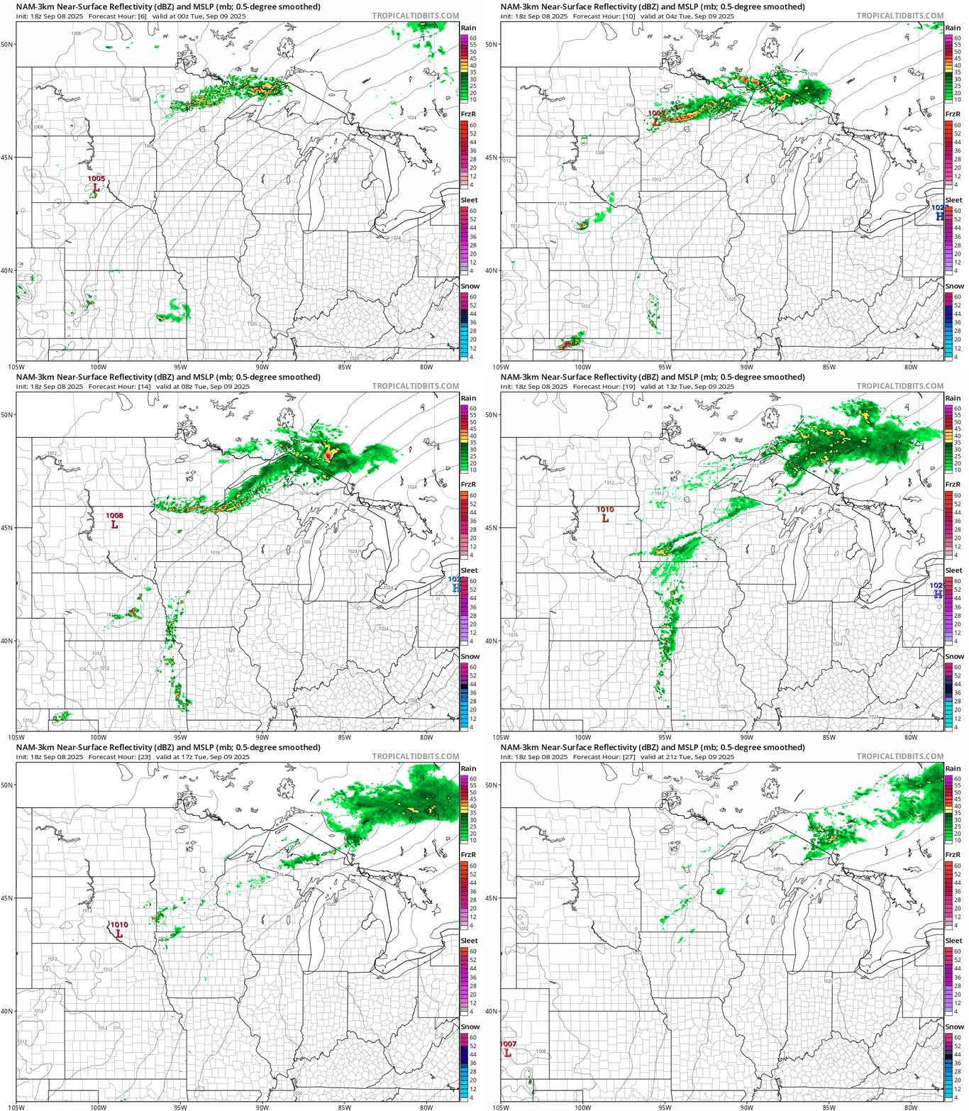
A weak front is sparking scattered thunderstorms across northeastern Minnesota Monday afternoon into Monday night. A few storms may be strong with heavy downpours, lots of lightning and thunder, small hail and gusty winds.
Scattered rain and thunder will gradually sag southward Monday night into early Tuesday as it dissipates. A few showers may reach the Twin Cities by morning with another slight chance Tuesday afternoon.
Here’s NOAA’s NAM 3 km model solution:
Summery again next week?
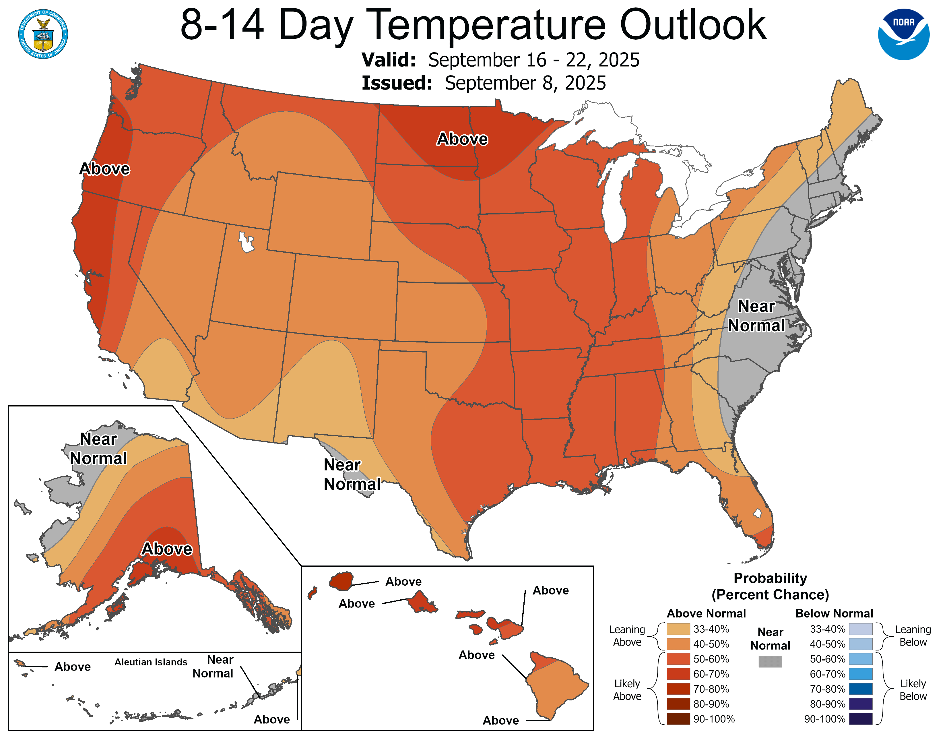
The overall weather pattern looks mild through next week. The upper-air pattern looks persistent. NOAA’s eight to 14-day outlook strongly favors warmer-than-normal temperatures through next week.
Enjoy our bonus summer breezes!

