
Summery weekend: A shot at 90 degrees on Sunday
Temperatures will run 10 to 15 degrees warmer than normal this weekend.

Go Deeper.
Create an account or log in to save stories.
Like this?
Thanks for liking this story! We have added it to a list of your favorite stories.


One more trip to the beach? Lakes and other outdoor venues will be busy this weekend across Minnesota.
An unseasonably warm air mass for mid-September features temperatures running 10 to 15 degrees warmer than normal. The normal high and low temperatures for the Twin Cities this weekend are 74 and 56 degrees.
On the map below, the National Oceanic and Atmospheric Administration’s Global Forecast System model upper-air loop shows an unseasonably warm high pressure ridge holding strong across the Upper Midwest through the upcoming weekend into at least next Tuesday.
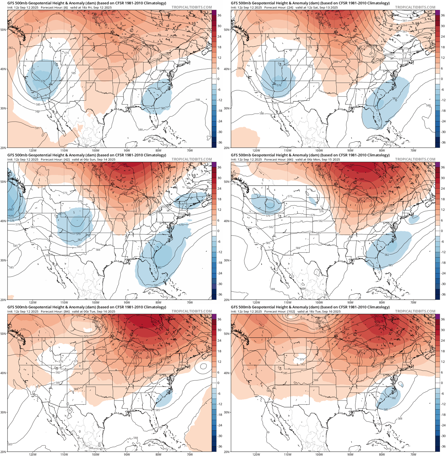
90 degrees in mid-September
Dew points this weekend will reach the upper 60s to near 70 degrees in the Twin Cities and parts of southern Minnesota. We’ll notice the humidity out there.
Turn Up Your Support
MPR News helps you turn down the noise and build shared understanding. Turn up your support for this public resource and keep trusted journalism accessible to all.
Highs Saturday will run into the upper 80s to low 90s across southern and western Minnesota.

The peak of our latest unseasonably warm air mass arrives Sunday. Highs will push the 90-degree mark across much of southern and western Minnesota. Thermometers may even tickle 90 degrees in the Twin Cities Sunday afternoon.

As is typical, temperatures will run cooler near the cooler waters of Lake Superior this weekend.
Mostly dry weekend
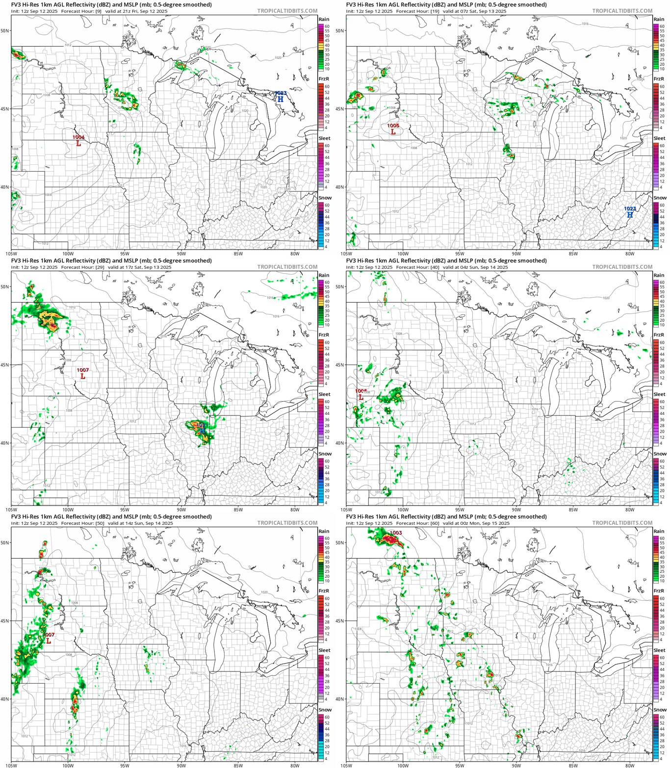
A few showers and thunderstorms Friday evening will fade, leaving us with a mostly dry weekend across most of Minnesota. The next wave arrives late Sunday with a chance for scattered storms, especially in western Minnesota, by Sunday evening.
NOAA’s FV3 model shows the trend between 4 p.m. Friday and 7 p.m. Sunday:
Still warm next week
Next week still looks warmer than normal across Minnesota. Highs in the 80s early in the week may fade into the 70s by Thursday.
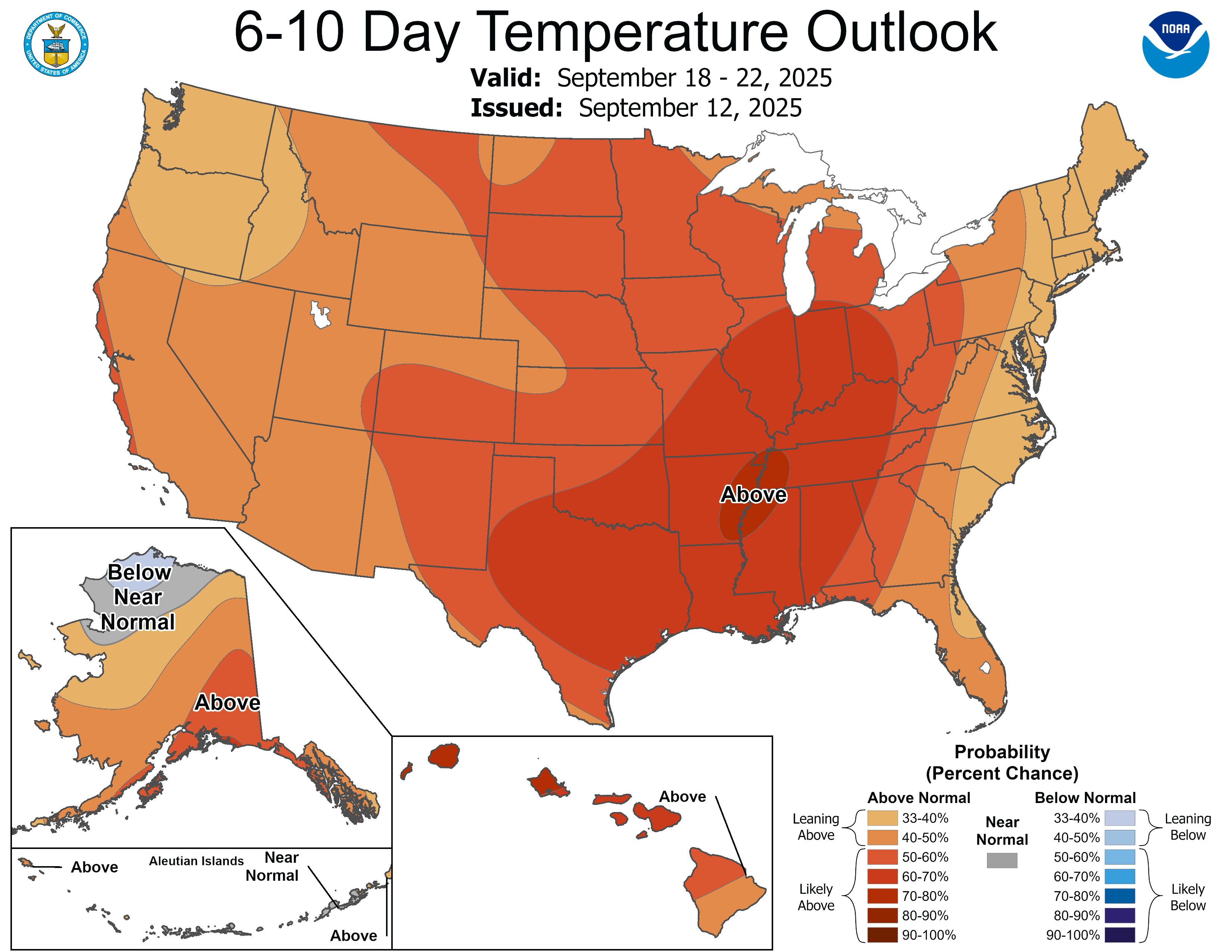
There are signs of a colder front by next Friday that may bring another taste of fall to Minnesota.
Enjoy the summery weekend!

