
90 degrees in the Twin Cities; scattered thunderstorms increase Wednesday
Tuesday is the 12th day of 90-degree heat in the Twin Cities this year

Go Deeper.
Create an account or log in to save stories.
Like this?
Thanks for liking this story! We have added it to a list of your favorite stories.


It’s another steamy summer-in-September day around most of Minnesota. Our air mass on Tuesday is closer to record temperatures than normal for this time of year.
The Twin Cities hit 90 degrees for the 12th time this year Tuesday afternoon. The average high at Minneapolis-St. Paul International Airport for Sept. 16 is 73 degrees, so we’re running 17 degrees warmer than normal. We’re much closer to the record high of 94 set in 1955 than we are to normal for this time of year.
Minnesota this week is riding the northern edge of a still summery air mass through the central United States.

Highs Wednesday will be a few degrees less hot than Tuesday, but temperatures will still run into the 70s and 80s across Minnesota Wednesday afternoon.
Turn Up Your Support
MPR News helps you turn down the noise and build shared understanding. Turn up your support for this public resource and keep trusted journalism accessible to all.

Scattered thunderstorms Wednesday
A weak low-pressure system will spin from South Dakota toward Minnesota Wednesday. Scattered thunderstorms will develop ahead of the system. The best chance for scattered rain and thunder is across western Minnesota, but storms could reach the Twin Cities Wednesday afternoon and evening.
The National Oceanic and Atmospheric Administration’s NAM 3 km model shows the trend:
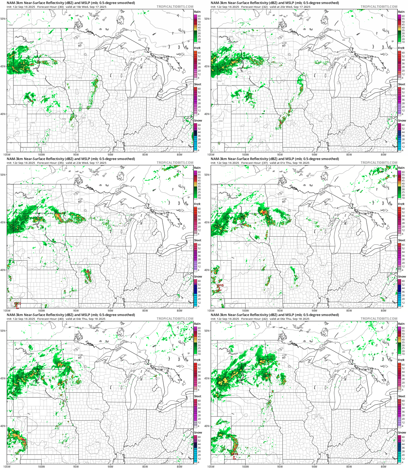
Severe weather does not look likely Wednesday but a few cells could bring heavy downpours, lightning, thunder and gusty winds along with some small hail.
Occasional scattered thunderstorms remain in the forecast for the next few days.
Stay tuned.

