
Pattern change: Occasional rain and thunder into the weekend
A couple hours of rain likely daily into the weekend; locally heavy downpours possible

Go Deeper.
Create an account or log in to save stories.
Like this?
Thanks for liking this story! We have added it to a list of your favorite stories.


Keep the umbrella handy the next few days.
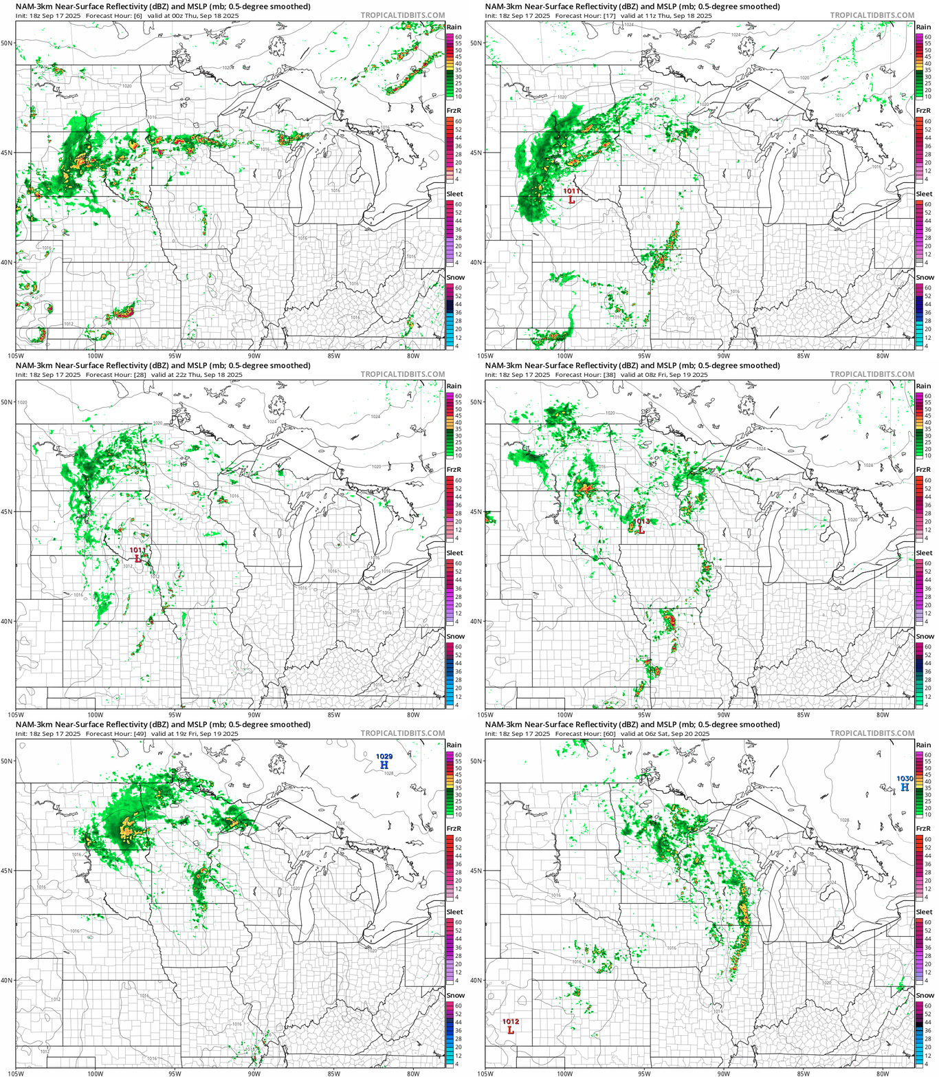
A slowly moving low-pressure system will crawl across Minnesota into the upcoming weekend. Bouts of occasional rain and thunder mark a change to our daily weather routine compared to the last several very warm and dry days.
On the map below, the National Oceanic and Atmospheric Administration’s NAM 3 km model picks up on the east-to-west oriented frontal zone with focused rain and thunderstorms through central Minnesota just north of the Twin Cities.
Additional rain and thunder cells will form in scattered areas, possibly including the Twin Cities, through Thursday night.
Turn Up Your Support
MPR News helps you turn down the noise and build shared understanding. Turn up your support for this public resource and keep trusted journalism accessible to all.
Cells dropped some small, one-half inch diameter hail near Becker around 3:30 p.m. Wednesday:
1 NNW Becker [Sherburne Co, MN] Broadcast Media reports Hail of mothball size (M0.50 Inch) at 3:30 PM CDT -- Time estimated between the report (3:23 PM) and the radar imagery. Report relayed via Slack.
Severe weather is not expected with this system. A few cells could produce heavy downpours, gusty winds and possibly some small hail, along with lightning and thunder.
Rainfall will be patchy as usual with this type of convection. Rainfall totals between Wednesday and Sunday could add up to between 1 and 2 inches locally.
Here’s the European Centre for Medium-Range Weather Forecasts model rainfall output through Sunday:

Temperatures will be slightly cooler the next several days but will a little above normal in most areas. Look for highs in the 70s across most of southern Minnesota through the upcoming weekend.


