
All or nothing: Localized thundershowers bring locally heavy rainfall totals
Heavy rainfall totals possible under spotty storms into the weekend

Go Deeper.
Create an account or log in to save stories.
Like this?
Thanks for liking this story! We have added it to a list of your favorite stories.


It’s an all-or-nothing rainfall pattern across much of Minnesota these days.
Our latest weather system is different from other storms. There’s no strong cold front driving a narrow line of storms moving predictably across Minnesota. It’s not a big, well-organized storm producing a widespread rain or snow shield across half the state.
This weak and diffuse low-pressure system is spreading out highly localized thundershowers. That means most of us are dry at any moment. But if you’re (un?) lucky enough to get under one of these, a hard rain’s gonna fall.
Check out some of these localized but heavy rainfall totals from Wednesday especially north and west of the Twin Cities:
Turn Up Your Support
MPR News helps you turn down the noise and build shared understanding. Turn up your support for this public resource and keep trusted journalism accessible to all.

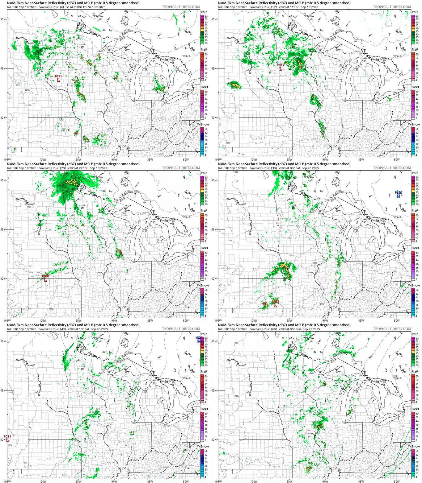
Scattered rains will drift north over the next couple days. The best chance for more numerous showers in the Twin Cities favors Thursday evening through the overnight hours.
On the map below, the National Oceanic and Atmospheric Administration’s NAM 3 km resolution model below shows the trends between 7 p.m. Thursday and 1 a.m. Sunday.
Temperatures through the upcoming weekend will be significantly cooler than our 90-plus degree highs from Tuesday. Friday brings 60s north with 70s south.

The still-early read on weather for Saturday’s Farm Aid concert at Huntington Bank Stadium in Minneapolis favors the highest rain chances in the morning to midday hours. Skies appear to be trending drier later Saturday afternoon and evening, but we still cant rule out rain at the event later Saturday.
Right now it looks like the majority of scattered rains will gradually move out of Minnesota later Saturday into Sunday. Sunday looks like the warmer and drier day of the weekend.

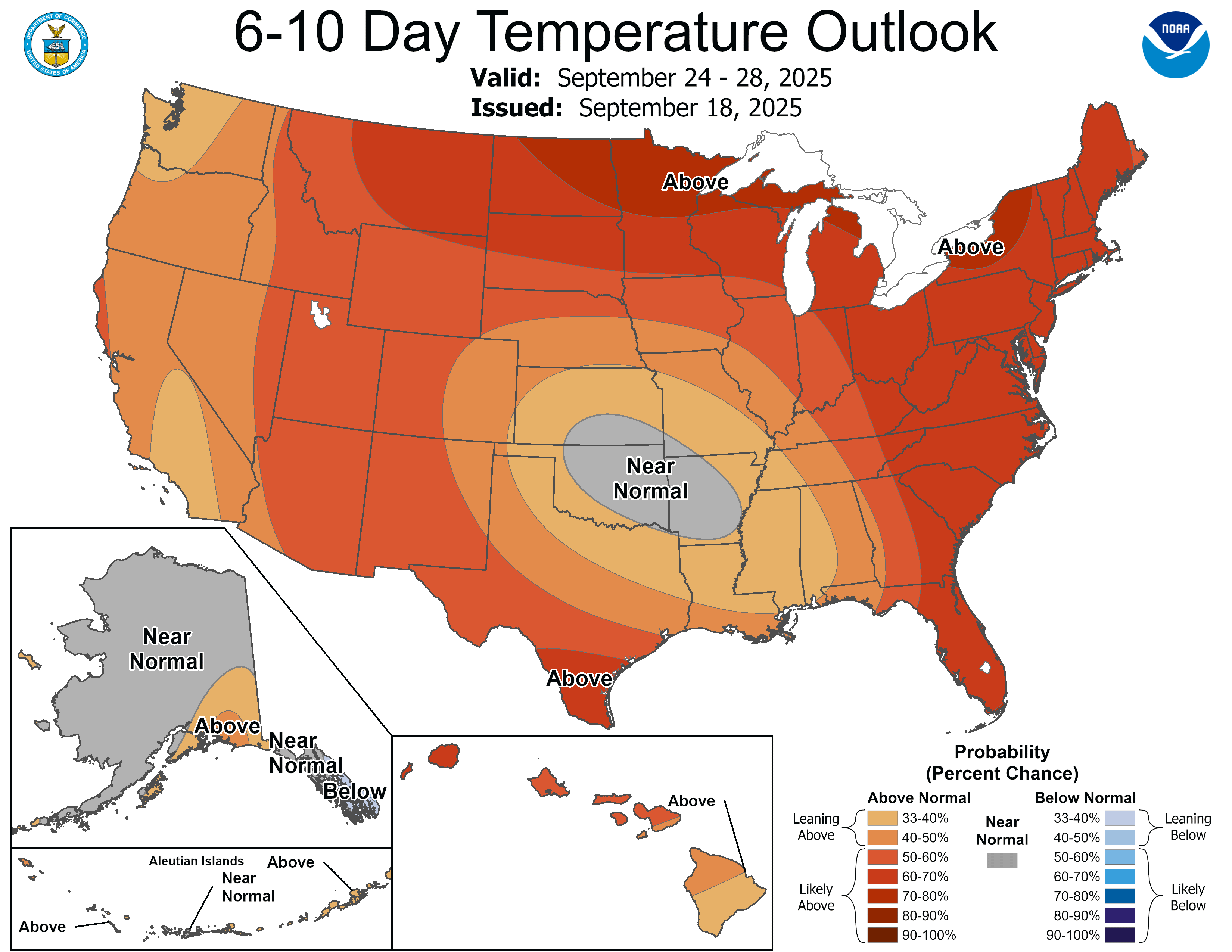
Next week looks mild with highs in the 60s north to 70s south early next week. There are signs 70s and 80s could return to Minnesota late next week.
Stay tuned.

