
How long will our bonus summer weather last?
First signs of a colder front on the horizon
Go Deeper.
Create an account or log in to save stories.
Like this?
Thanks for liking this story! We have added it to a list of your favorite stories.


We’re getting two Augusts this year in Minnesota.
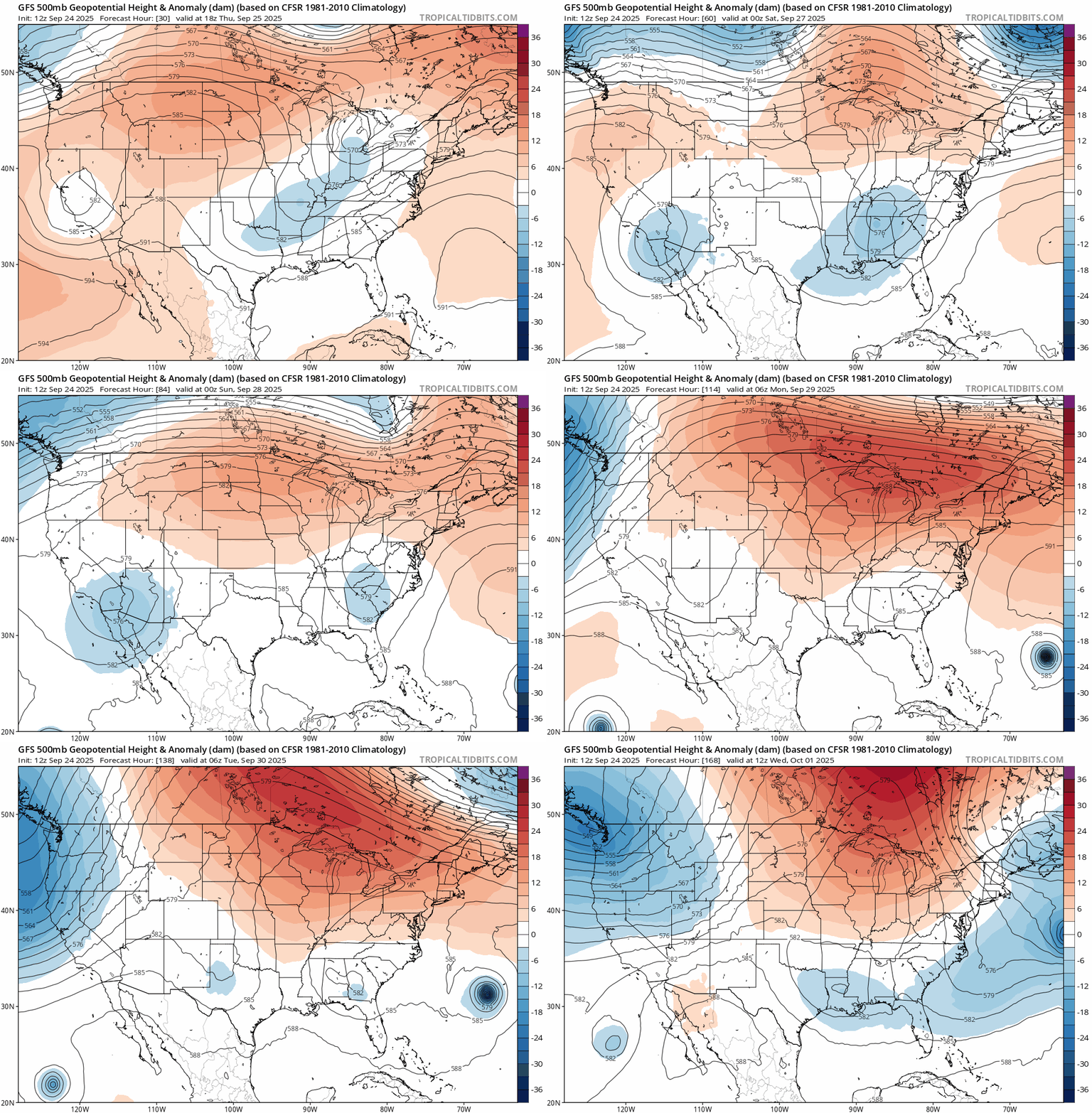
Our unseasonably warm air mass looks determined to linger across Minnesota well into next week. On the map below, check out the upper-air pattern across our region. You can see the warm colors persisting across the Upper Midwest well into next week.
Our foggy mornings give way to sunny warm afternoons. Highs Thursday and Friday will reach the 80s in much of southern Minnesota. I wouldn’t be surprised if a few bank thermometers in southwestern Minnesota towns flash close to 90 degrees Friday afternoon.

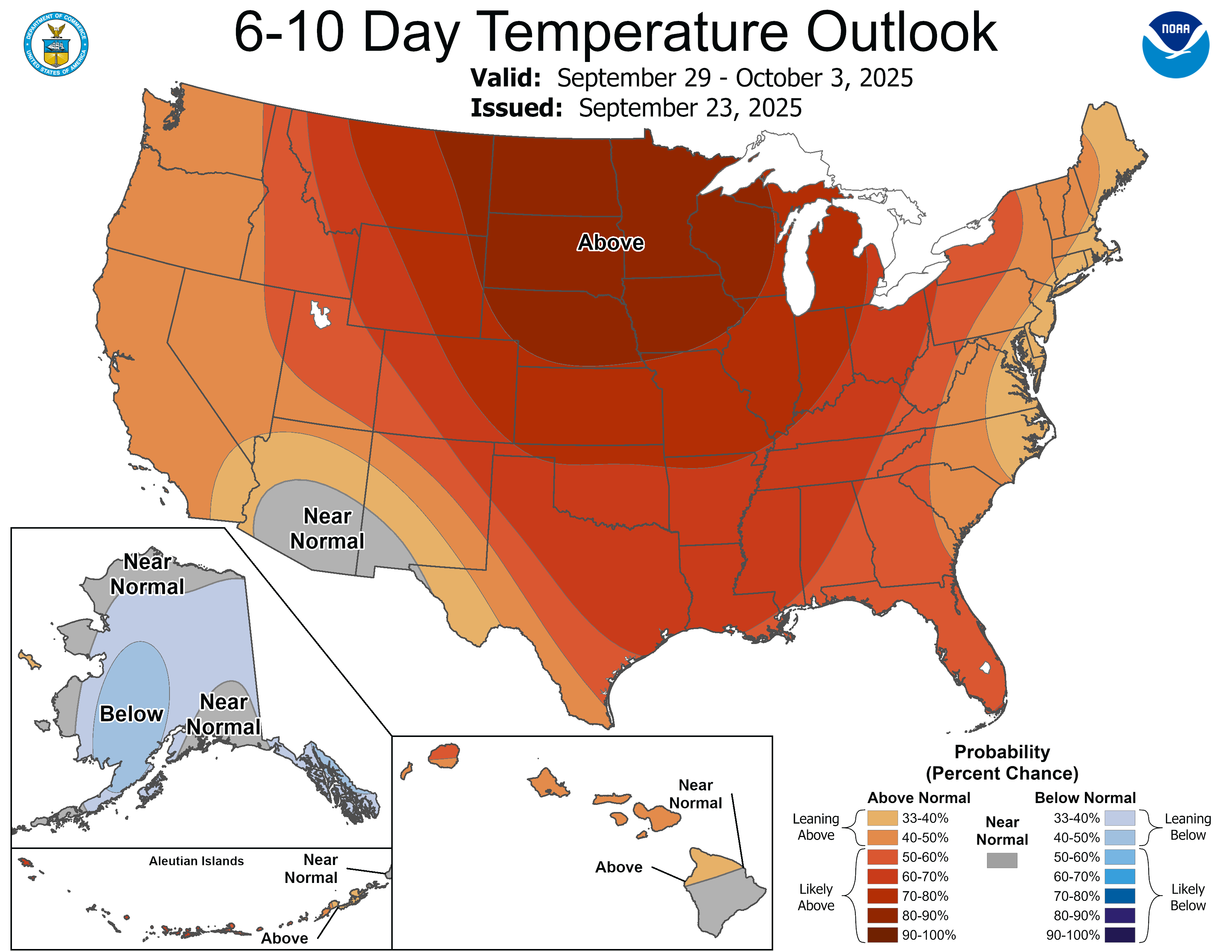
The warmth will amplify Sunday into much of next week. Forecast models suggest highs in the 80s will be common across southern and western Minnesota well into next week.
Turn Up Your Support
MPR News helps you turn down the noise and build shared understanding. Turn up your support for this public resource and keep trusted journalism accessible to all.

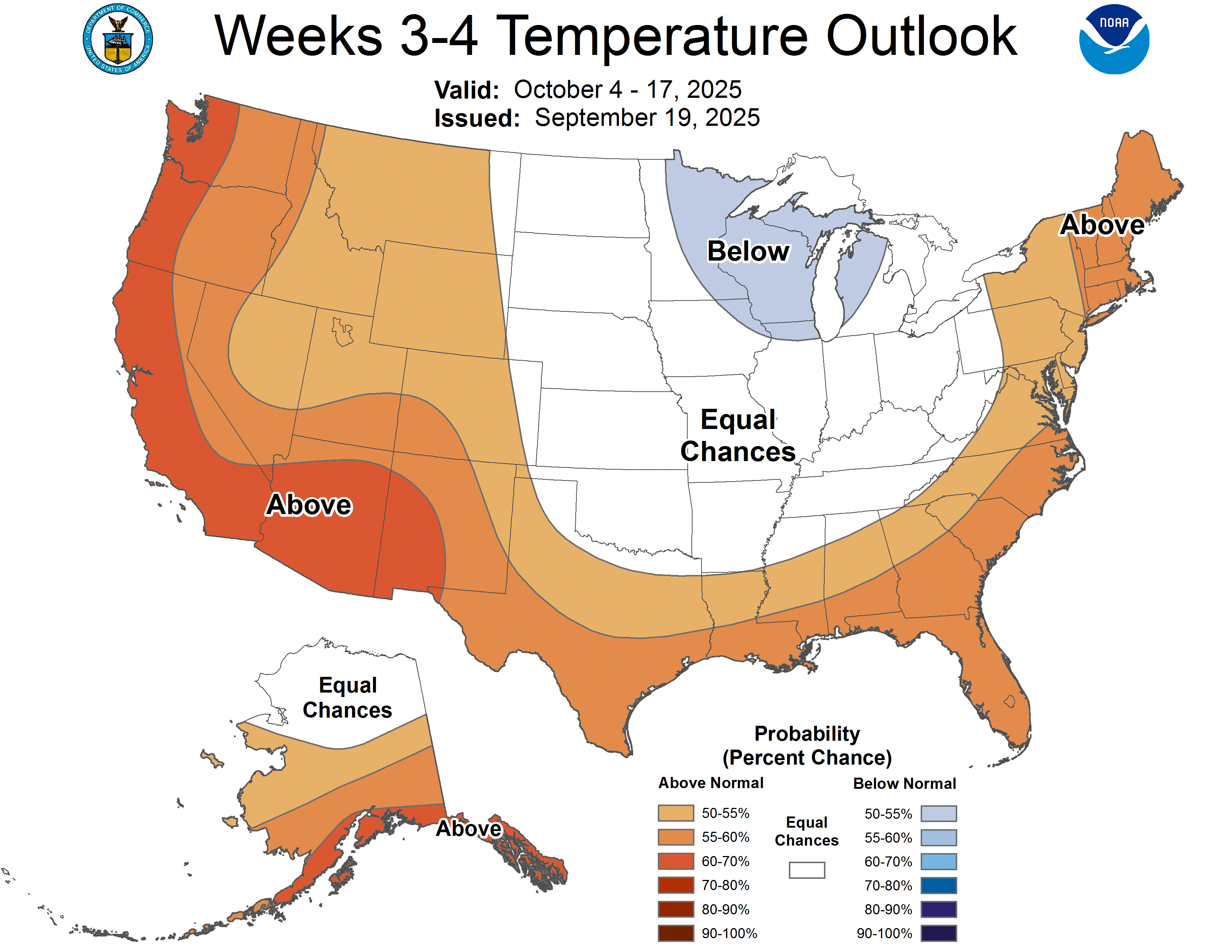
The weather maps finally look ready to bring a proper autumn cold front into Minnesota by the first weekend in October.
The National Oceanic and Atmospheric Administration’s temperature outlook favors brisk temperatures for the first time in a while as we move deeper into October.
Enjoy our lingering summery weather for now!
One thing we know about Minnesota in October: It won’t last forever.

