
October starts on summery notes; 90 degrees in the Twin Cities Friday?
Highs around 90 degrees across southern Minnesota in the first days of October.

Go Deeper.
Create an account or log in to save stories.
Like this?
Thanks for liking this story! We have added it to a list of your favorite stories.


Aug-tember is fading into Aug-tober.
Minnesota’s unseasonably warm air mass these last days of September is set to linger into the first few days of October. Temperatures over the past week ran more than 10 degrees toastier than normal across parts of western Minnesota.

Now our summery air mass will amplify even further as we slide into the first days of October.
Look for sunny to partly cloudy skies with plenty of warm sunshine into Saturday. Highs Thursday will push well into the upper 80s toward 90 degrees in the south and west.
Turn Up Your Support
MPR News helps you turn down the noise and build shared understanding. Turn up your support for this public resource and keep trusted journalism accessible to all.

Friday and Saturday bring the warmest days of this latest overheated air mass. Highs will push into the 90s again across the south. The Twin Cities could top out around 90 degrees both Friday and Saturday.
Cold front Sunday
A cold front finally looks ready to sweep southward across Minnesota by Sunday. Highs will fall into the 60s and 70s north, with some lingering mildness in the south.
Scattered rain and a few thunderstorms will sag south along the frontal zone Sunday.
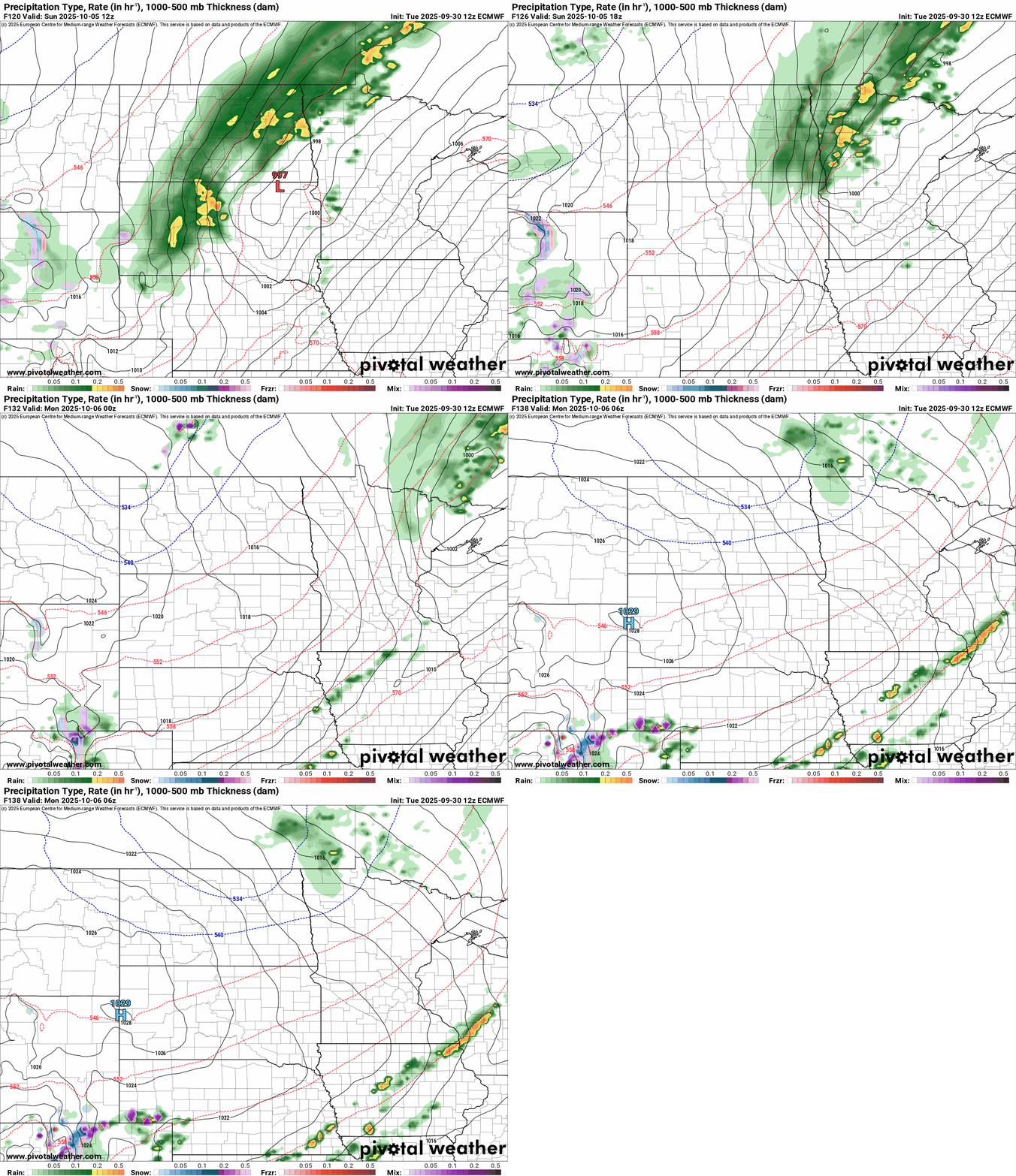
Monday brings an October reality check. Highs in the 50s north to 60s south will feel more like a typical October day.

Enjoy these warm days while they last!

