
Thermal ridge: October hot front blowing record warmth into Minnesota
Widespread frost ahead by Wednesday morning

Go Deeper.
Create an account or log in to save stories.
Like this?
Thanks for liking this story! We have added it to a list of your favorite stories.


We call it the thermal ridge.
That’s what meteorologists call the axis of warmest air in these overheated record-setting air masses. Minnesota is riding the eastern edge of yet another late-season heat wave gurgling through Minnesota into Saturday.

I saw 93 degrees Friday afternoon in Appleton, Minn., and 97 degrees in Phillip, S.D.!
This extreme for early October air mass will set many records by the time it exits our region Sunday.
Turn Up Your Support
MPR News helps you turn down the noise and build shared understanding. Turn up your support for this public resource and keep trusted journalism accessible to all.
It looks like we fell short of our record high in the Twin Cities Friday afternoon, but it’s very likely we’ll set an overnight high minimum temperature record Saturday.
Overnight lows will hover in the upper 60s to lower 70s across much of Minnesota overnight into Saturday morning.

The record high minimum temperatures for Minneapolis-St. Paul International Airport is 68 degrees set in 1922, so I have little doubt we’ll break that one overnight.
Saturday’s record high for the Twin Cities is 89 degrees, also set in 1922. And we have a good shot at breaking that one Saturday afternoon with highs in the 90s across a good chunk of Minnesota.
Cold front Sunday
A more typical October cold front sweeps through Minnesota Sunday. It won’t reach the Twin Cities until Sunday evening so most of the day will be warm in the south.
This will be one of the warmest Twin Cities Marathon days on record with temperatures still in the 70s early Sunday morning at race time.
Highs Sunday afternoon will rise well into the 80s south. Colder air in the 50s and 60s will pour into northern Minnesota Sunday.

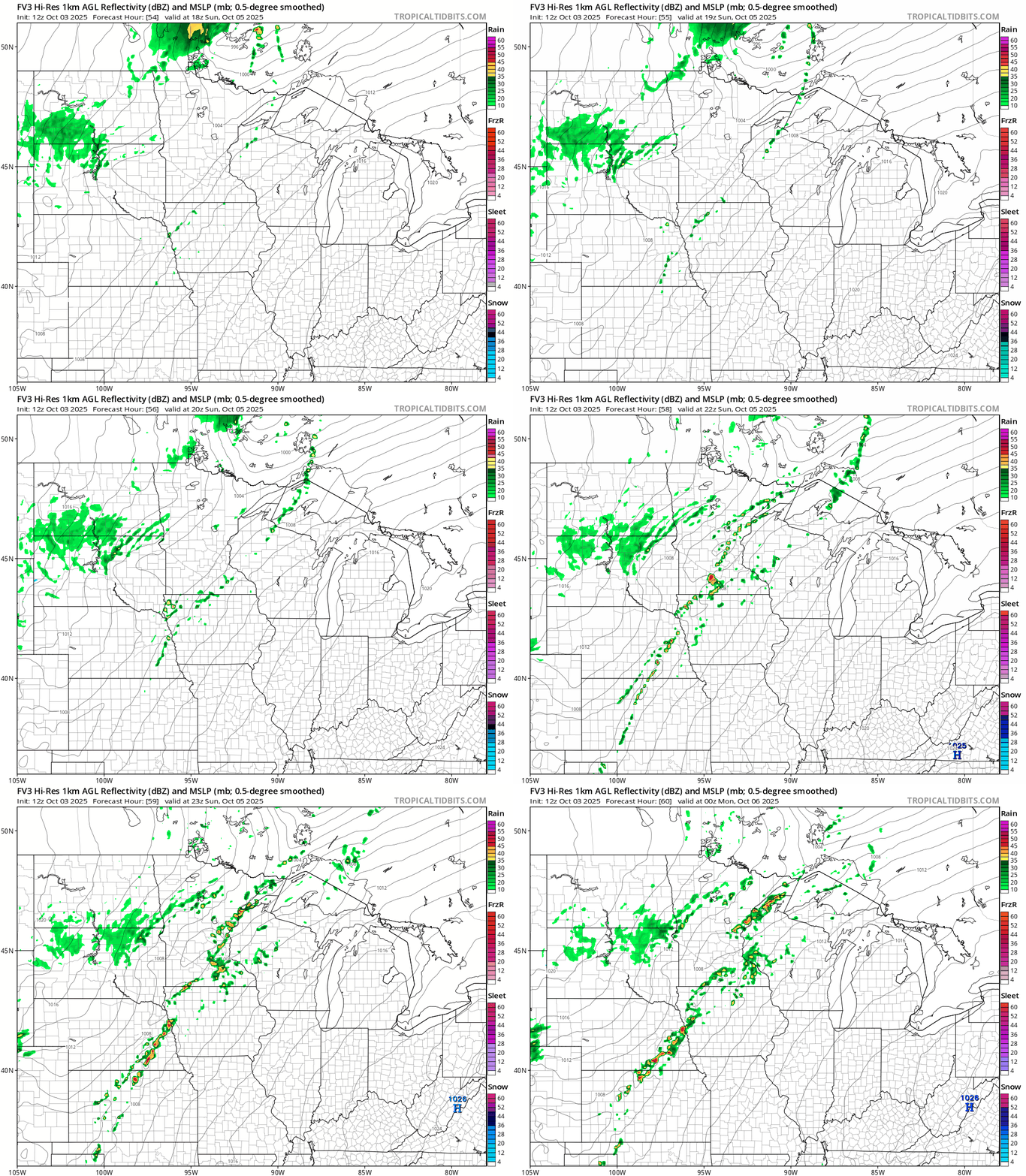
A few scattered showers and thundershowers may develop along the frontal zone late Sunday. The map below shows the National Oceanic and Atmospheric Administration’s FV3 model solution Sunday.
Frosty next week
Next week brings a more seasonal air mass to Minnesota. Highs will run in the 50s north to 60s south.

Temperatures next week will bottom out Wednesday morning. Lows in the 30s will be widespread. In the Twin Cities, the urban core within the Interstate 494/694 loop will likely bottom out around 40 degrees Wednesday morning. But 30s and frost look likely in the suburbs.

The European Centre for Medium-Range Weather Forecasts model has temperatures near 70 degrees again by the weekend of Oct. 11-12.
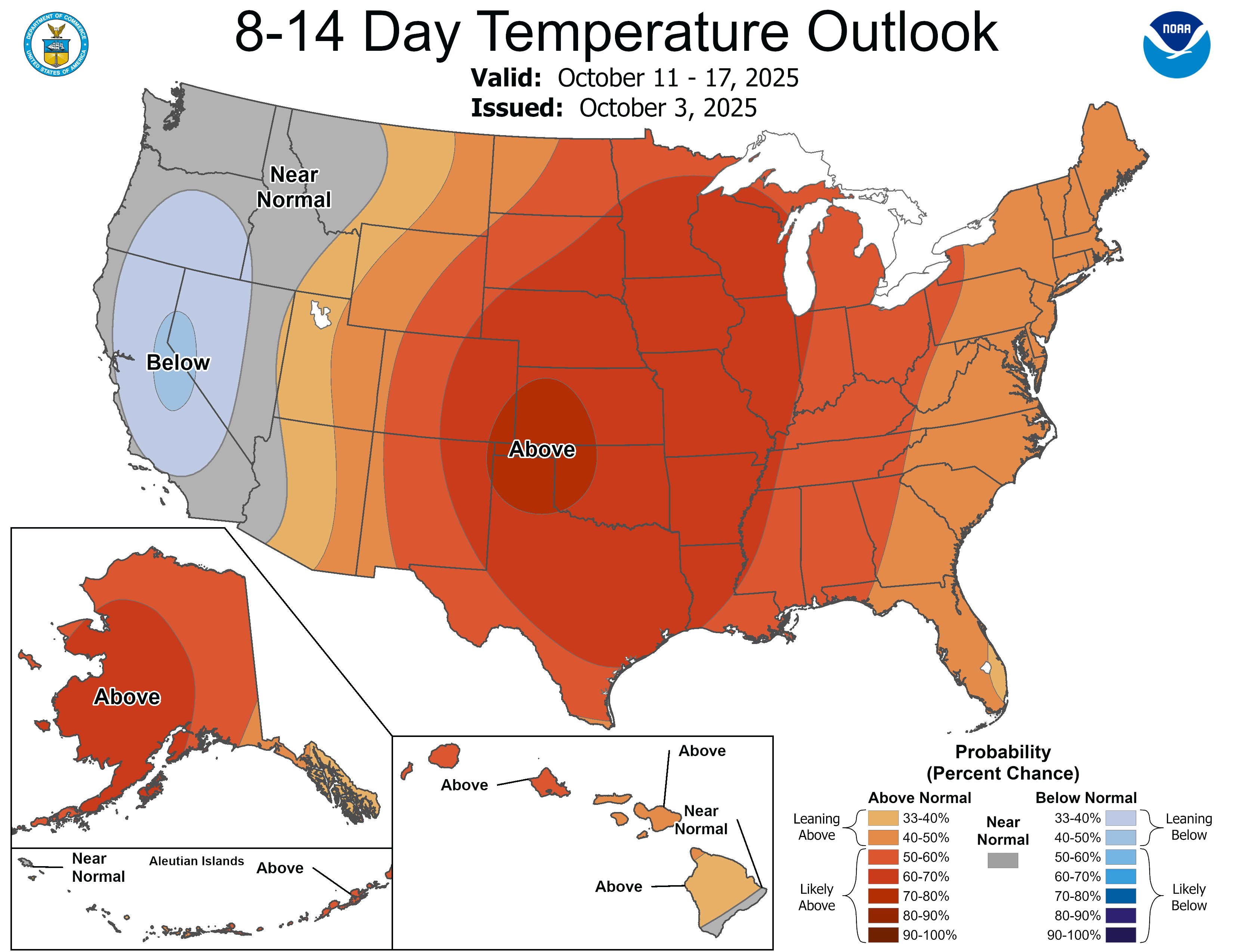
NOAA’s outlooks still favor warmer-than-normal temperatures overall as we move deeper into mid-October.
Stay tuned.

