Coldest temperatures of fall so far Wednesday morning; milder into the weekend
Highs in the 70s return to southern Minnesota Thursday

Go Deeper.
Create an account or log in to save stories.
Like this?
Thanks for liking this story! We have added it to a list of your favorite stories.


Wednesday morning delivered on forecasts of the coldest temperatures of fall so far around Minnesota.
Temperatures dropped well into the low 20s and even a few into the teens in the north.
Here are some of the coldest temperatures observed around northern Minnesota Wednesday morning:

Here are some additional minimum temperature reports from around northern Minnesota:
Turn Up Your Support
MPR News helps you turn down the noise and build shared understanding. Turn up your support for this public resource and keep trusted journalism accessible to all.
Hinckley — 25 degrees
Walker — 26 degrees
Ely — 27 degrees
Brainerd — 28 degrees
Moorhead — 34 degrees
In the Twin Cities, temperatures hovered above the freezing mark in the inner urban core, but frost and freezing temperatures occurred at many suburban locations outside the urban heat island.
Here are some minimum temperature reports form around the Twin Cities and southern Minnesota:
Minneapolis-St. Paul International Airport — 39 degrees
St. Paul — 37 degrees
Rochester — 36 degrees
Eden Prairie — 35 degrees
Redwood Falls — 32 degrees
Blaine, Crystal — 30 degrees
Lakeville — 28 degrees
Hutchinson, St. Cloud — 27 degrees
It will not be as cold Thursday morning around Minnesota. Most locations will stay above freezing and western Minnesota will bottom out around 50 degrees early Thursday morning.

Milder days ahead
Thursday brings sunshine and milder temperatures to Minnesota once again. It will be windy with south winds gusting around 30 mph. Highs will reach the 70s once again in the south.
Right now, temperatures look milder in the south through the upcoming weekend and cooler in the north.

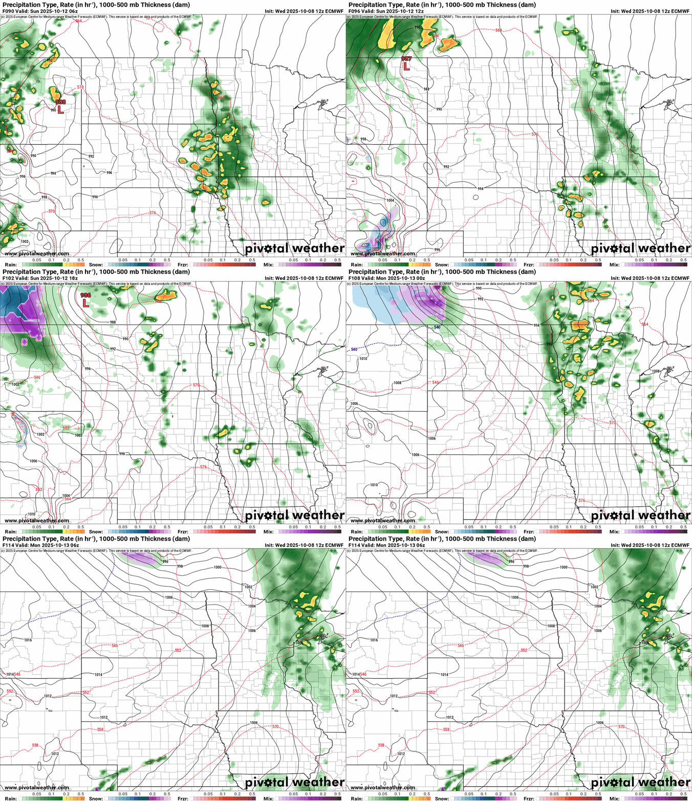
Rain chances favor Sunday with scattered showers moving across Minnesota.
Here’s the European Centre for Medium-Range Weather Forecasts model solution: