
Near-record warmth Friday; cooler again this weekend
Expect highs near 70 Friday afternoon in southwestern Minnesota

Go Deeper.
Create an account or log in to save stories.
Like this?
Thanks for liking this story! We have added it to a list of your favorite stories.


We’re leading charmed weather lives so far this November across most of Minnesota.
We’ve seen some November snow in the southwestern and northeastern parts of our state, but only a few renegade snowflakes have flown around the Twin Cities and central Minnesota.
Officially, a trace of snow has fallen this month at Minneapolis-St. Paul International Airport. The 30-year average snowfall for the Twin Cities in November is 6.8 inches.
My MPR colleague Mark Seeley told me Thursday that we’ve never had a snowless November in the Twin Cities.
Turn Up Your Support
MPR News helps you turn down the noise and build shared understanding. Turn up your support for this public resource and keep trusted journalism accessible to all.
Here’s a clip from this week’s Weather Talk post from Mark about low snow years for November.
We have about 141 years of snowfall climatology in the Twin Cities, and November has never been entirely snowless. However, in the years 1928, 1939, 1963, and 2009 only a trace of snow was reported for the entire month. Novembers in 1916, 1973, and 1998 only brought a tenth of an inch of snowfall for the month. The most recent 30-year average for November snowfall in the Twin Cities is 6.8 inches, but 4 of the last 8 Novembers have brought less than 1.25 inches of snowfall.
October flashback Friday
Another balmy air mass blows into Minnesota Friday. The upstream air mass is cranking out temperatures in the upper 70s in Nebraska Thursday afternoon.

We’ll likely hit 70 degrees in southwestern Minnesota Friday afternoon with upper 60s easing into the Twin Cities.

I won’t be shocked to see a bank thermometer or two flash 70 degrees in southwestern Twin Cities towns like Chaska and Excelsior around 3 p.m. Friday. The record high temperature at Minneapolis-St. Paul International Airport for Friday is 71 degrees set in 1990.
A cooler front arrives Saturday. Temperatures will fall through the 50s Saturday on gusty northwest winds.

Sunday brings less wind and plenty of sunshine with highs closer to normal in the 30s north and 40s south.
The next couple weeks still slightly favor warmer-than-normal temperatures across our region.
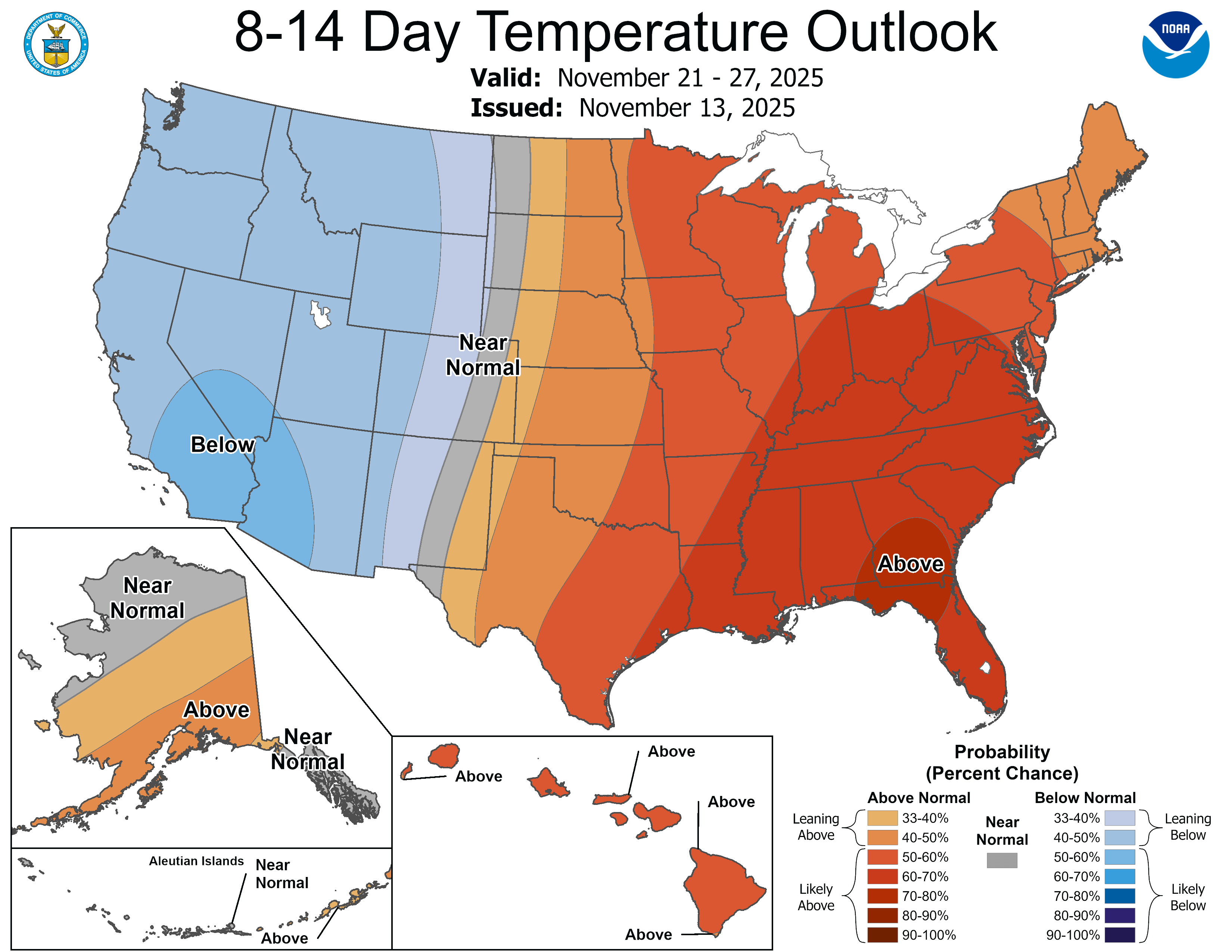
Forecast models are hinting at a possible rain and or snow system late next week in Minnesota.
Stay tuned.

