
Another clipper brings light snow Thursday; subzero weekend ahead
Signs of a major warmup next week

Go Deeper.
Create an account or log in to save stories.
Like this?
Thanks for liking this story! We have added it to a list of your favorite stories.


It’s a winter wonderland out there these days for most of Minnesota.
Our next clipper sails through Minnesota Thursday. This one looks weaker on the weather maps.
Most forecast models suggest a track that will place the bulk of accumulating snow across southwestern and south-central Minnesota. But a couple of models suggest the system could ease a little more snow into the Twin Cities.
The National Oceanic and Atmospheric Administration’s High-Resolution Rapid Refresh model is among the easternmost model paths and does bring some accumulating snow into the Twin Cities Thursday afternoon.
Turn Up Your Support
MPR News helps you turn down the noise and build shared understanding. Turn up your support for this public resource and keep trusted journalism accessible to all.
The forecast model loop below runs between 6 a.m. and 6 p.m. Thursday.
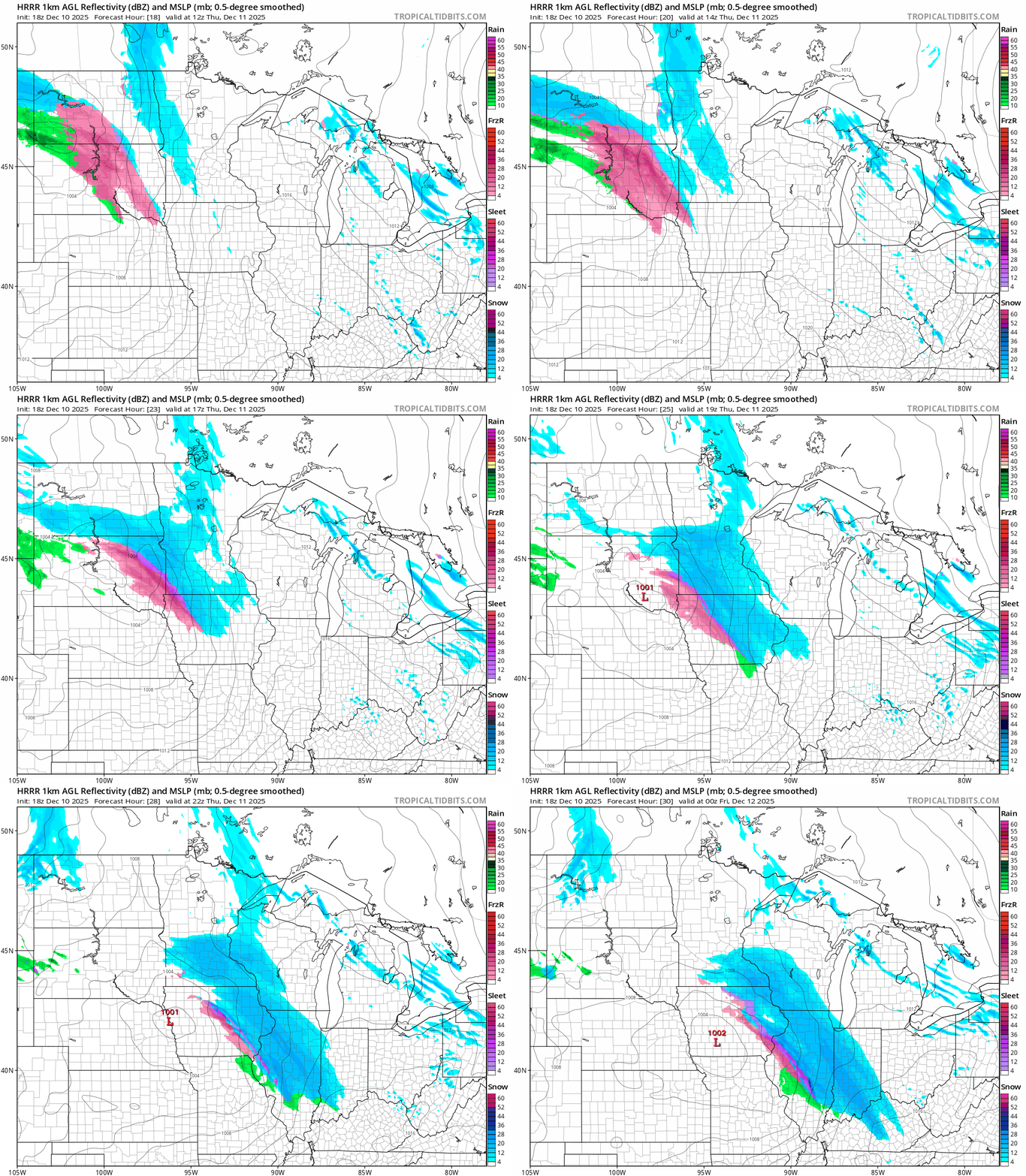
Most models keep significant accumulations southwest of the Minnesota River Valley.
NOAA’s NAM 3 km model projection on the map below is similar to models from the European Centre for Medium-Range Weather Forecasts and NOAA’s Global Forecast System.

It’s most likely that a few inches of snow will fall mainly southwest of the Twin Cities Thursday. Light snow is still possible in the metro area Thursday afternoon, including during the rush hours. It doesn’t take much snow with temperatures in the teens to ice up roadways.

So stay up on forecasts as we head through Thursday afternoon’s commute.
Arctic weekend ahead
A proper arctic air mass blows into Minnesota this weekend. Highs this weekend will hover at or below zero across Minnesota.

The weekend cold wave bottoms out Sunday morning with temperatures in the minus 10s to minus 20s.

There are still signs of a major warmup next week with highs into the 30s by next Tuesday!

Hang in there.

