
Tuesday thaw: Tracking rain and snow chances Thursday
Temps likely in the 40s Tuesday across much of Minnesota

Go Deeper.
Create an account or log in to save stories.
Like this?
Thanks for liking this story! We have added it to a list of your favorite stories.


We can all take a deep breath of mild Pacific air Tuesday across Minnesota.
A zonal (west to east) wind flow will pump much milder Pacific air into Minnesota Tuesday. Skies look to be mostly sunny, so if we get enough sun we will likely see temperatures soar well into the 40s around Tuesday afternoon.
The latest National Oceanic and Atmospheric Administration digital forecast model output is cranking out highs as warm as 47 degrees in southwestern Minnesota Tuesday afternoon! Check out the map above.
Temperatures will gradually cool the rest of the week with highs in the 20s through the upcoming weekend.
Turn Up Your Support
MPR News helps you turn down the noise and build shared understanding. Turn up your support for this public resource and keep trusted journalism accessible to all.

Rain to snow Thursday?
I’m still watching a weather system that will track through northern Minnesota Thursday. It looks warm enough for rain showers in the Twin Cities Wednesday night. It should be mostly snow in the north.
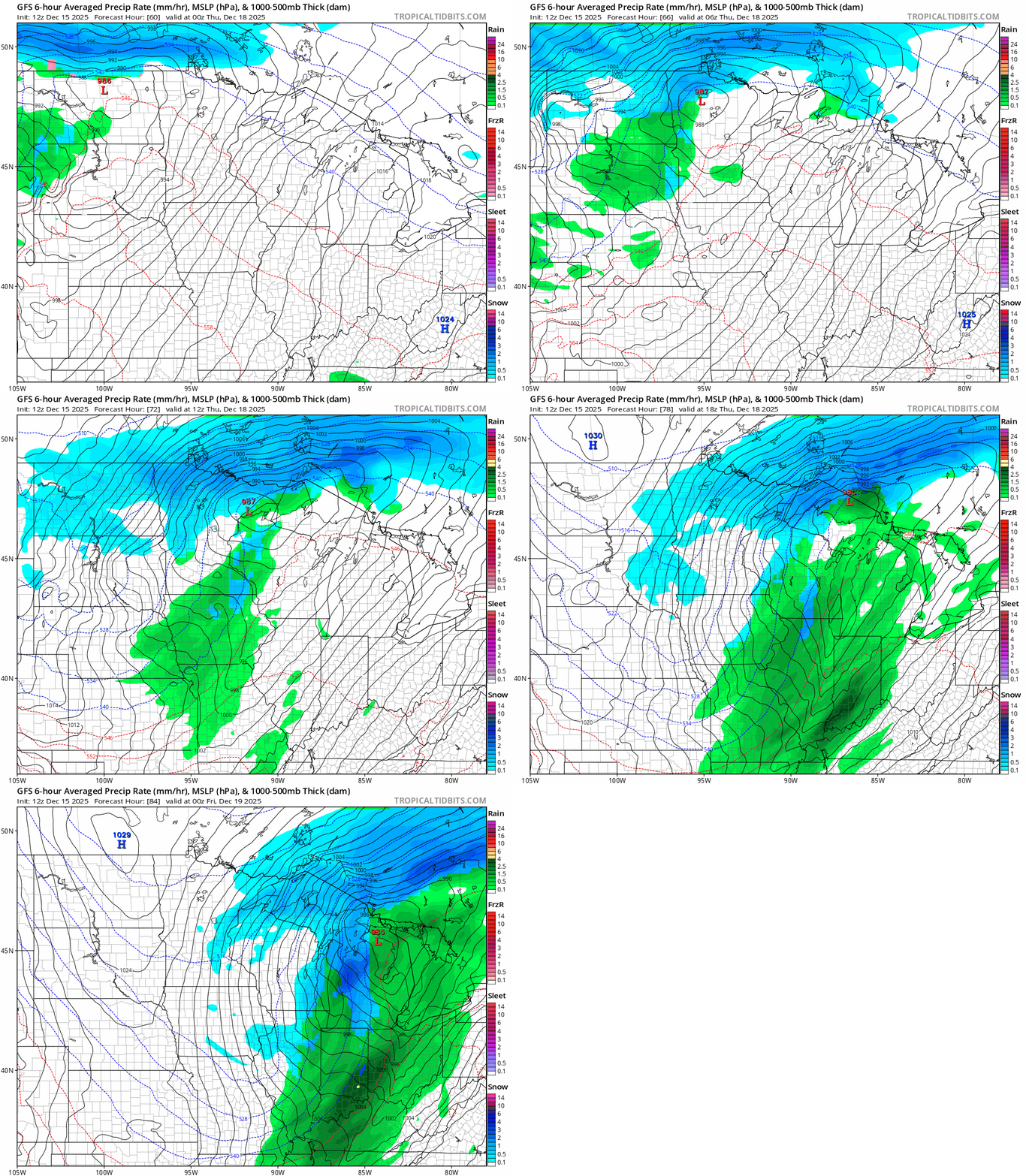
Light accumulations favor northern Minnesota with Thursday’s system.
NOAA’s upper-air forecast suggest another thaw possible nearly Christmas week after a chilly weekend.
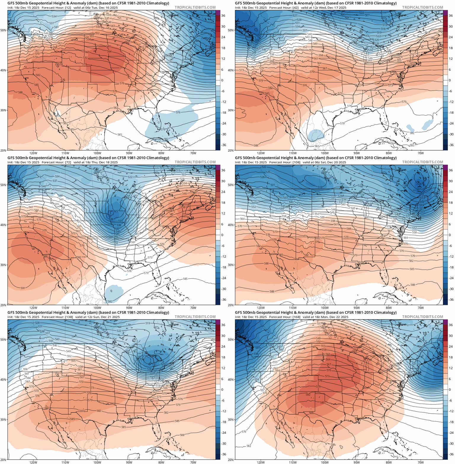
Temperatures early next week could hit the 30s to near 40 degrees once again.

Stay tuned.

