
Thaw now, snow chances and arctic outbreak ahead late this week
After 40s Monday, snow chances late this week; subzero cold likely next weekend
Go Deeper.
Create an account or log in to save stories.
Like this?
Thanks for liking this story! We have added it to a list of your favorite stories.


Get ready for another free ride on the Minnesota winter weather roller coaster.
Our entry into mid-January this week opens with a widespread thaw Monday into Tuesday.
Temperatures soared into the 50s in southwestern Minnesota Monday afternoon. We hit 43 degrees in the Twin Cities, which is a full 20 degrees warmer than the normal high of 23 degrees for Jan. 12.

Highs Tuesday will rise into the 40s once again in the south, with 30s in the north.
Turn Up Your Support
MPR News helps you turn down the noise and build shared understanding. Turn up your support for this public resource and keep trusted journalism accessible to all.

Changes ahead this week
Our balmy-for-January weather won’t last this week. A cold front sweeps south through Minnesota by Wednesday. Temperatures will fall toward seasonal norms with highs in the 20s south to teens north.
Then we watch for a family of clippers that will likely bring some snow Thursday into Saturday.
Details will get ironed out this week, but the Canadian model captures the flavor of multiple waves of snow ridging southward ahead of an advancing arctic air mass late this week. The forecast model loop below runs between 6 a.m. Thursday and midnight Saturday night.
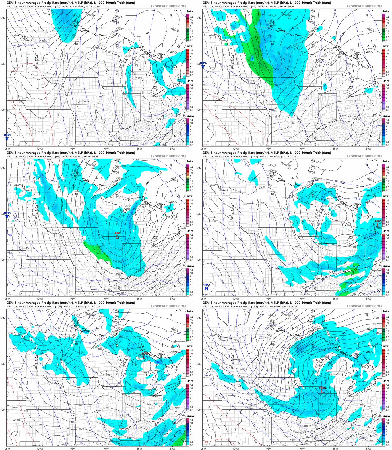
I’ll spare you the still-way-too-early snowfall accumulations model guesses at this point. But the most actionable forecast advice is to say we’ll likely have several inches of snow between Thursday and Saturday with slick roadways once again.
Arctic outbreak next weekend
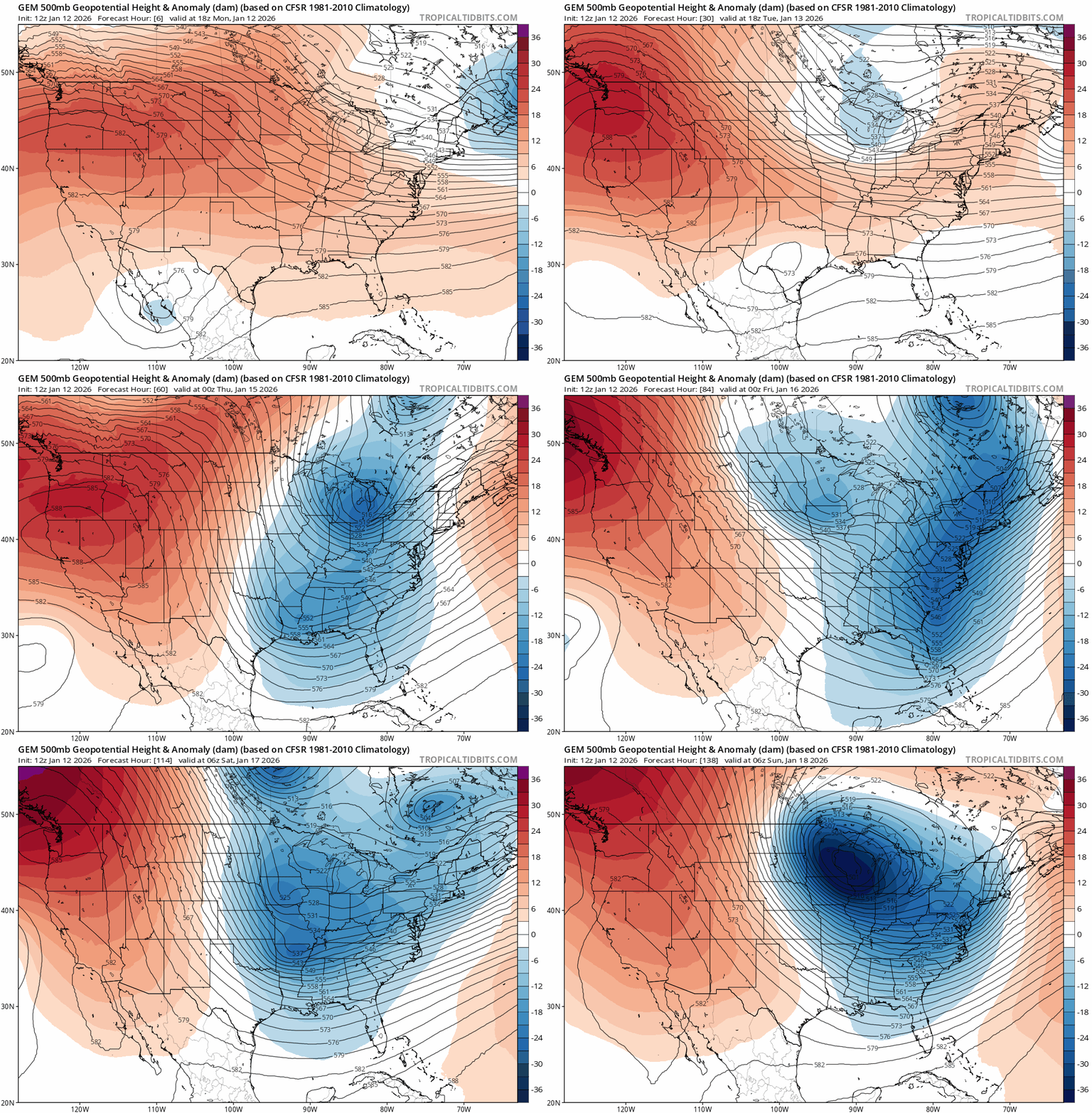
I’m still watching another likely arctic outbreak starting Saturday and lasting into the following week. Forecast models show the warm upper-level Pacific flow collapsing by this weekend.
The Canadian model below is in line with all models that break off a chunk of the dreaded polar vortex and send it south this weekend. The upper-air forecast model loop below runs between Monday and Saturday.
Forecast models are cranking out double-digit subzero temperatures by early next week across Minnesota.
The magnitude of how cold the inbound air mass will ultimate be remains to be seen, but here’s an early look at the European Centre for Medium-Range Weather Forecasts model forecast temperature output by next Tuesday, Jan. 20.

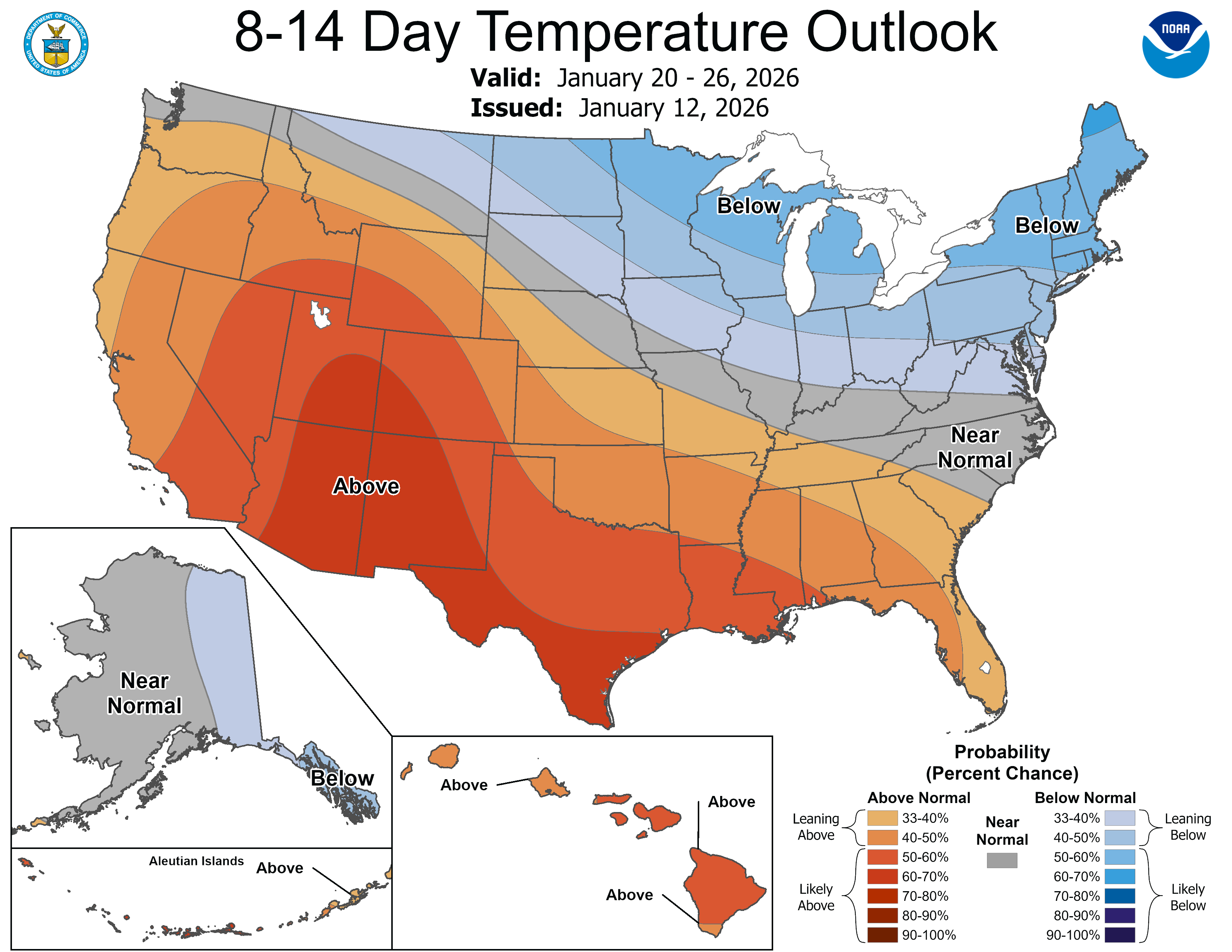
There are signs this cold wave could persist as we move into later January.
Stay tuned!

