
Occasional snow and gradually colder through the weekend
Snow bands with heaviest totals in NE Minnesota by Sunday

Go Deeper.
Create an account or log in to save stories.
Like this?
Thanks for liking this story! We have added it to a list of your favorite stories.


Our weather pattern for the next few days continues to feature occasional bands of snow drifting through Minnesota. That combines with gradually colder temperatures will make it look more like winter each day.
A band of heavier snow squalls with this system Thursday evening is drifting through Minnesota from northwest to southeast. Visibility with this band may quickly drop to 1/4 mile with a heavy snow burst.
Snow squall warnings have been issued at times with this intense band of snow.
FGF issues Snow Squall Warning [snow squall: OBSERVED, impact threat: SIGNIFICANT] for Pennington, Polk, Red Lake [MN] till 5:15 p.m. CST
It is actually a warm front that caused the first bands of snow Thursday. Temperatures pushed into the 40s in western Minnesota Thursday afternoon on the warm side of the front!
Turn Up Your Support
MPR News helps you turn down the noise and build shared understanding. Turn up your support for this public resource and keep trusted journalism accessible to all.

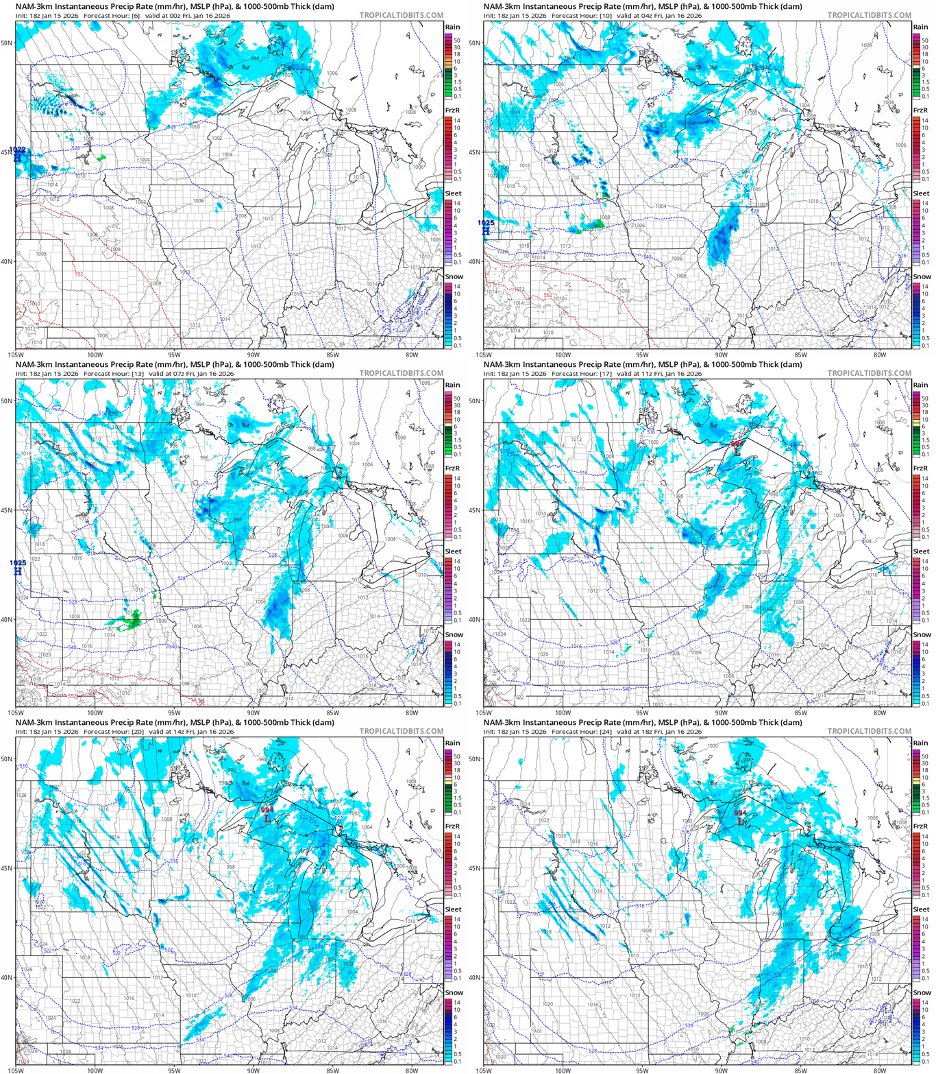
The next waves of occasional snow ride south through Minnesota overnight into Friday morning.
The National Oceanic and Atmospheric Administration’s NAM 3 km model captures the feel of occasional snow bands overnight. The forecast model loop below runs between 6 p.m. Thursday and noon Friday.
The heaviest snowfall accumulations through Sunday will be in northeastern Minnesota, where several inches will fall. Lighter totals will fall in the south and especially in western Minnesota.

Cold increases this weekend
The inbound arctic air mass will gradually deepen this weekend. It’s not record cold for January, but highs will hover in the single digits above zero across most of Minnesota Saturday afternoon.

Lows will bottom out Sunday and Monday morning in the subzero range across Minnesota.

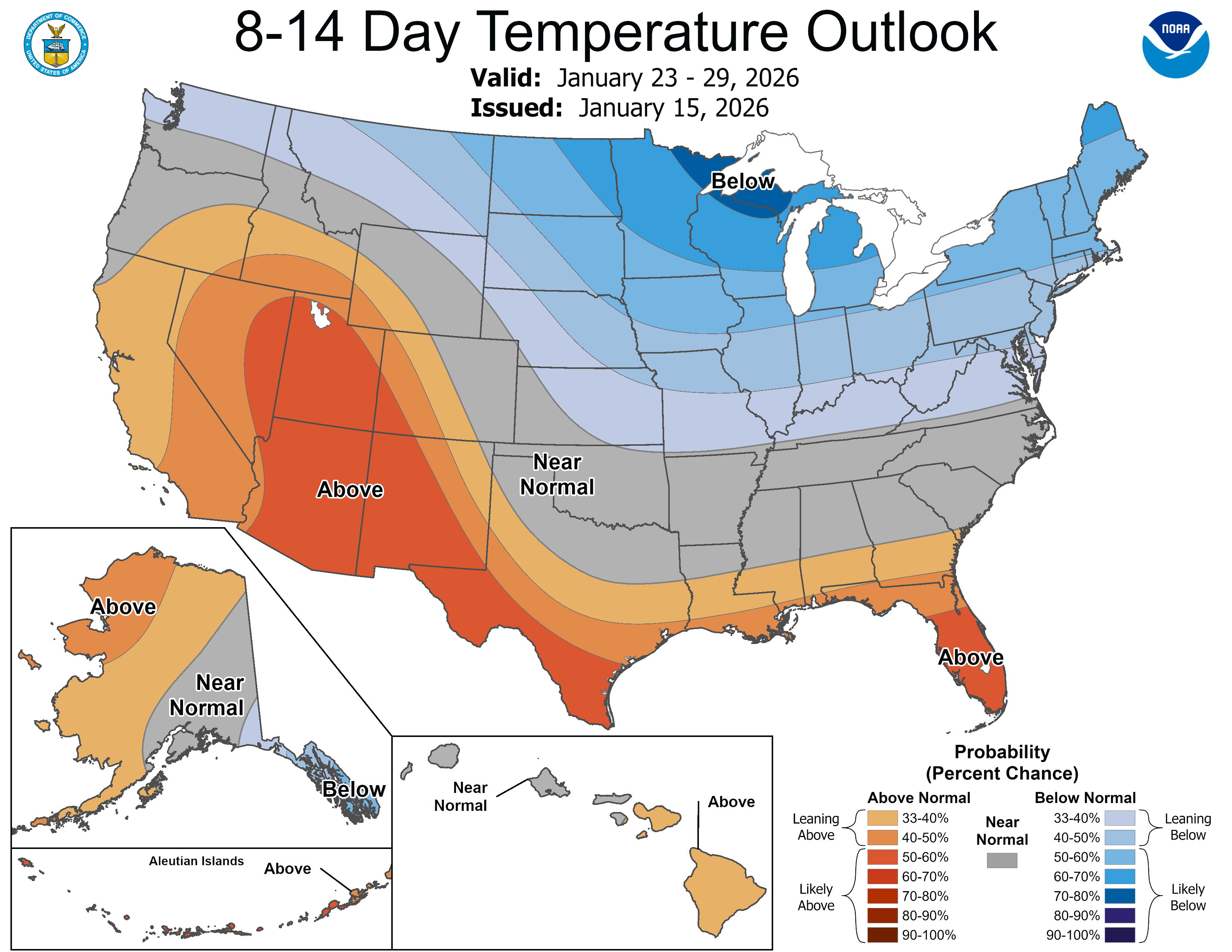
Right now, it looks pretty cold through next week with lows a few degrees on either side of zero across much of Minnesota. But it appears the mother lode of the cold may arrive the weekend of Jan. 24-25.
The European Centre for Medium-Range Weather Forecasts model is still cranking out severe cold that weekend.

These numbers may be overdone, but it looks like we may see the coldest air in the last weeks of January. That’s pretty typical for a Minnesota winter.
Stay tuned.

