
Occasional snow and a much colder weekend ahead
Wind chill values this weekend between minus 20 and minus 30

Go Deeper.
Create an account or log in to save stories.
Like this?
Thanks for liking this story! We have added it to a list of your favorite stories.


I’m finally seeing a typical frigid Minnesota January weekend on the weather maps.
Bouts of occasional snow showers and much colder air are pouring south into Minnesota.
The National Oceanic and Atmospheric Administration’s NAM 3 km model depicts snow showers swirling through Minnesota Friday evening into Saturday morning.
We may see a break in snow showers Saturday afternoon and evening before the next clipper pushes snow southward once again Sunday. The forecast model loop below runs between 6 p.m. Friday and 6 p.m. Sunday.
Turn Up Your Support
MPR News helps you turn down the noise and build shared understanding. Turn up your support for this public resource and keep trusted journalism accessible to all.
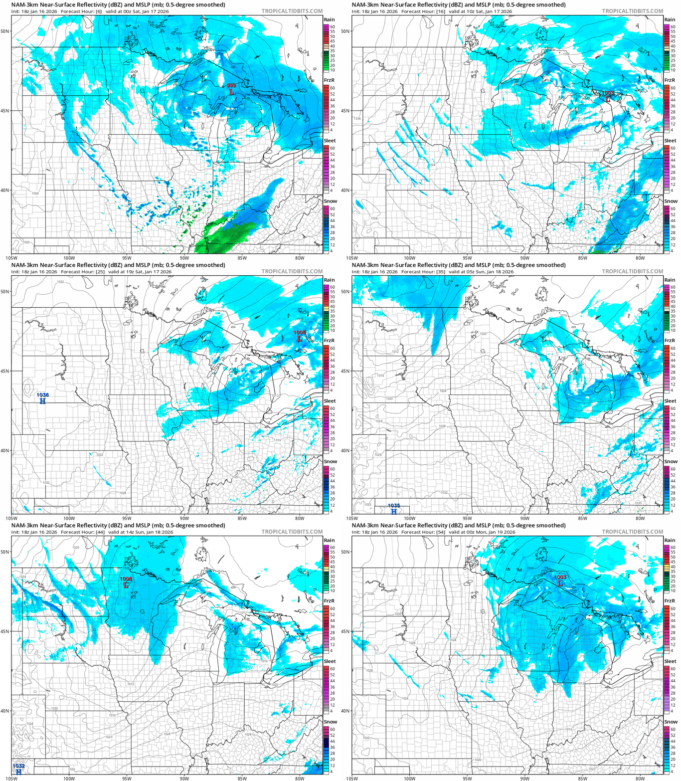
Overall snowfall accumulations will likely range between 1 to 3 inches by late Sunday across most of northern and eastern Minnesota into Wisconsin with less in the west.

Arctic cold
We’re getting our share of arctic air this weekend through next week across Minnesota. We won’t be breaking any cold records, but temperatures will run about 20 degrees colder than normal most days.
Record low temperatures in the Twin Cities in the next week are mostly in the minus 30s! We won’t get nearly that cold but it will be frigid.
Highs Saturday will hover from subzero in the northwest to low teens south.

Sunday and Monday morning deliver subzero temperatures to most of Minnesota.

Wind chill values look lowest Sunday night into Monday morning with minus 30s in the north and minus 20 around the Twin Cities region.

Next week brings persistent cold. Highs may moderate into the teens Tuesday and Wednesday.
But it still looks like the coldest air will arrive the weekend of Jan. 24-25. American and European models still crank out low temperatures in the minus 20s to minus 30s north by next Saturday.

It remains to be seen just how cold it will get next weekend, but all signs point to what is potential the coldest air mass of winter.
Stay warm and stay safe Minnesota.

