
Light snow overnight and Wednesday; coldest subzero air of winter Thursday night into Saturday
Mostly light snow into Wednesday; Twin Cities may see minus 20 in arctic outbreak

Go Deeper.
Create an account or log in to save stories.
Like this?
Thanks for liking this story! We have added it to a list of your favorite stories.


Here comes the Siberian Express.
An arctic outbreak is likely to produce the coldest temperatures of the winter season across Minnesota Friday and Saturday mornings. Temperatures are likely to plunge into the minus 30s to around minus 40 degrees in the far north Friday and Saturday mornings.
The European and Canadian models are cranking out temperatures of minus 20 and colder for the Twin Cities and southern Minnesota Friday and Saturday mornings.
It remains to be seen if we’ll get to the infamous minus 20-degree mark in the Twin Cities, but I’d say we have a better-than-50-percent chance of hitting minus 20 degrees or colder around the Twin Cities as we head into this weekend.
Turn Up Your Support
MPR News helps you turn down the noise and build shared understanding. Turn up your support for this public resource and keep trusted journalism accessible to all.
First, a little light snow.
Clippers into Wednesday
A couple of weak clippers will ride through Minnesota overnight into Wednesday. Tuesday’s models favor slightly weaker systems with less snow overall.
The first wave rides mainly through southern Minnesota Tuesday evening. The second wave covers a little more of Minnesota with light to locally moderate snow Wednesday.
On the map below, the National Oceanic and Atmospheric Administration’s High-Resolution Rapid Refresh model shows the two systems sliding across our region between 6 p.m. Tuesday and 6 p.m. Wednesday.
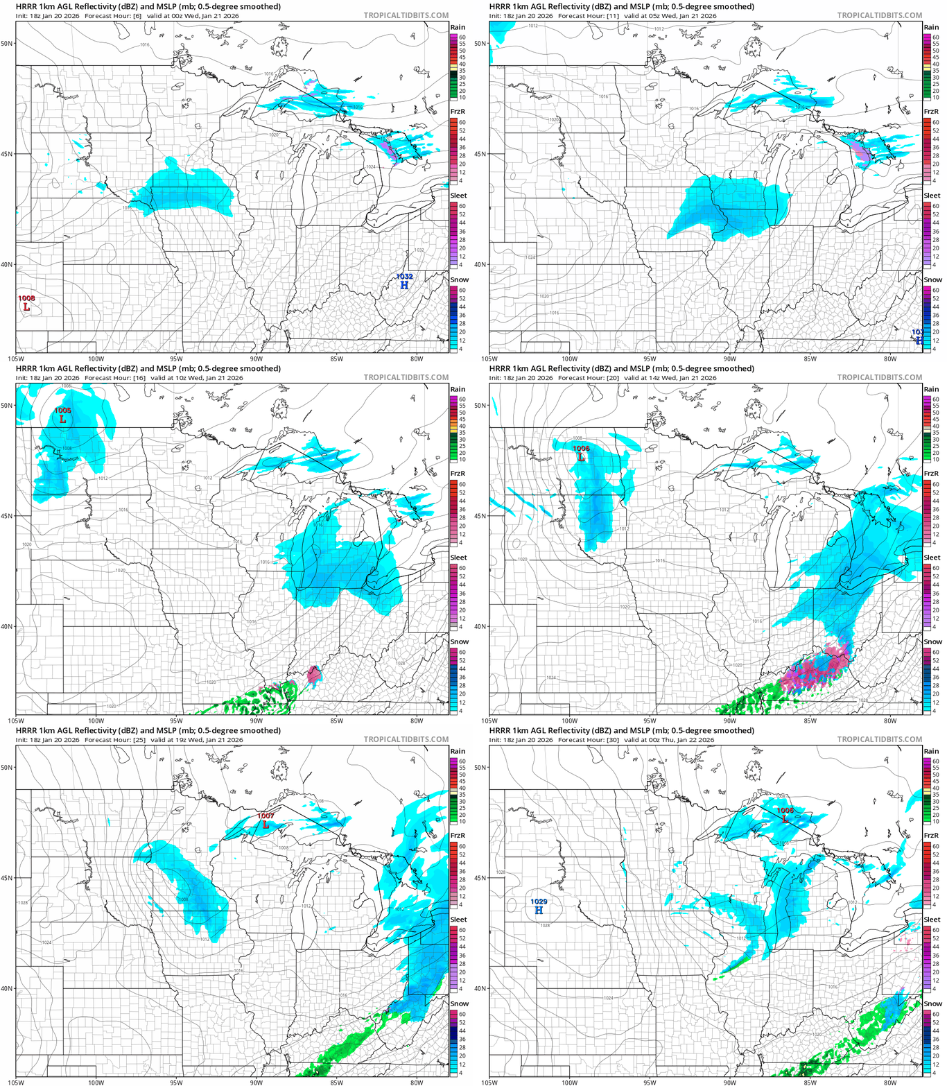
Overall, snowfall totals look to be on the lighter side with the most snow across southern Minnesota along the Interstate 90 corridor communities.

Wednesday will feel relatively balmy with highs into the 20s (above zero) in the south.

Subzero cold wave ahead
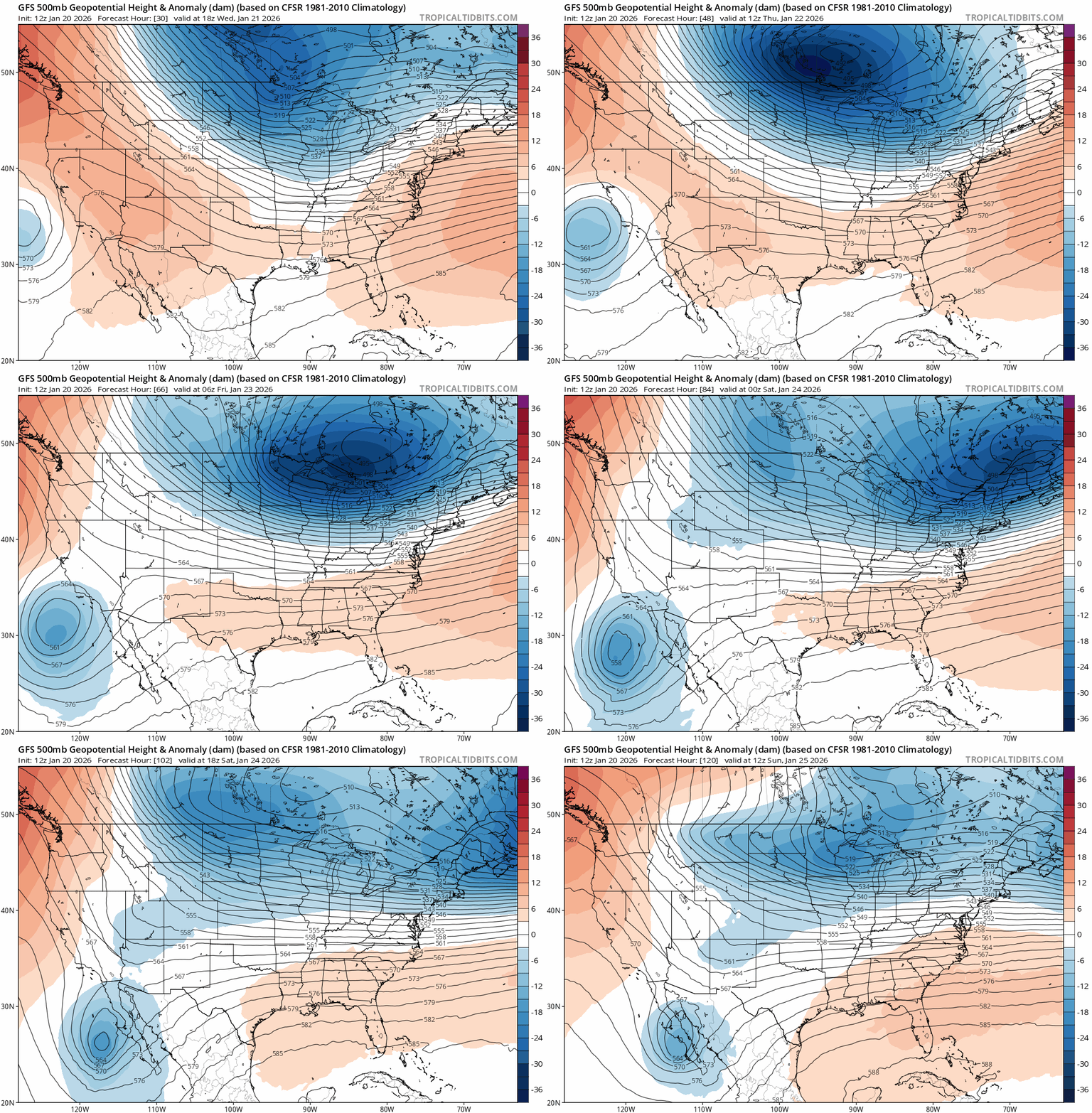
After the snow, we watch and feel the coldest arctic blast of winter starting Thursday night. A chunk of the polar vortex will break loose from the Arctic Circle and slam southward across the Upper Midwest.
The coldest mornings right now look like Friday and Saturday mornings. NOAA’s digital output favors lows around minus 20 close to the Twin Cities with minus 30s in the north.

The European and Canadian models are colder. The European model cranks out lows colder than minus 20 for the Twin Cities both Friday and Saturday mornings.

It remains to be seen just how cold it will get, but temperatures will be extreme and dangerous.
Wind chills could reach minus 50 degrees in the north with minus 40s in the south.

It looks like we’ll see a minimum of 72 straight subzero hours, with the European Centre for Medium-Range Weather Forecasts suggesting more than 80 hours below zero between Thursday night and Monday.
Extreme cold watches will become warnings in the coming days. Here’s the National Weather Service:
Including the cities of Litchfield, New Ulm, St Cloud, Madison, Shakopee, Little Falls, Mankato, St Paul, Cambridge, Chaska, Olivia, St Peter, Osceola, Chippewa Falls, Menomonie, Glenwood, Chanhassen, Hastings, Princeton, River Falls, Benson, St James, Durand, Waseca, Elk River, Blue Earth, Albert Lea, Owatonna, Blaine, Hutchinson, Le Sueur, Rice Lake, Long Prairie, Redwood Falls, Red Wing, Faribault, Gaylord, Ladysmith, Sauk Rapids, Willmar, Montevideo, Minneapolis, Alexandria, Center City, Morris, Monticello, Eau Claire, Mora, Fairmont, Granite Falls, Hudson, Victoria, and Stillwater
1257 PM CST Tue Jan 20 2026
...EXTREME COLD WATCH IN EFFECT FROM THURSDAY EVENING THROUGH SATURDAY MORNING...
* WHAT...Dangerously cold wind chills as low as 45 below zero possible.
* WHERE...Portions of central, east central, south central, southeast, southwest, and west central Minnesota and northwest and west central Wisconsin.
* WHEN...From Thursday evening through Saturday morning.
* IMPACTS...The dangerously cold wind chills as low as 40 below zero could cause frostbite on exposed skin in as little as 10 minutes.
Right now, next week looks cold but mostly above zero.
Stay tuned.

