
Not quite as cold this week; signs of milder air and snow next week
After Friday's coldest air mass in 7 years, signs of a possible thaw
Go Deeper.
Create an account or log in to save stories.
Like this?
Thanks for liking this story! We have added it to a list of your favorite stories.


It looks like the coldest air mass of winter is now behind us, but it was a doozy. We bottomed out at minus 21 degrees Friday morning at Minneapolis-St. Paul International Airport. That’s the coldest air since late January 2019.
The good news? When temperatures hit minus 20 degrees, the cold kills a high percentage of emerald ash border larvae. Multiple locations in northern Minnesota hit minus 40 degrees, a temperature that kills more than 90 percent of the larvae of pine bark beetles and other forest pests.
Hooray for our beloved trees.
Not as cold this week
The core of the arctic air has moved on, but we’re still about 10 to 20 degrees colder than normal this week in Minnesota. The normal high and low temperatures for the Twin Cities this week are 24 and 8 degrees.
Turn Up Your Support
MPR News helps you turn down the noise and build shared understanding. Turn up your support for this public resource and keep trusted journalism accessible to all.

We bottomed out at minus 14 degrees in the Twin Cities Monday morning. That’s our 14th subzero day of the winter season in the Twin Cities. So far we’re about on pace for our seasonal average of 22 subzero days. Yes, it’s a real good old fashioned winter.
Our next cold front slams into Minnesota overnight into Tuesday. Highs Tuesday will hover in the single digits above zero across most of Minnesota.

But gusty northwest wind overnight and Tuesday will make us feel much colder once again. Wind chills will be in the tens to 20s below zero Tuesday!

Highs in the single digits this week give way to more typical winter temperatures by the weekend. Saturday and Sunday we enjoy highs in the 20s above zero for a change.
Temperatures could reach 30 degrees in southwest Minnesota by Sunday afternoon. Nice to see green shades on the weather maps once again.

Snow and a possible thaw next week?
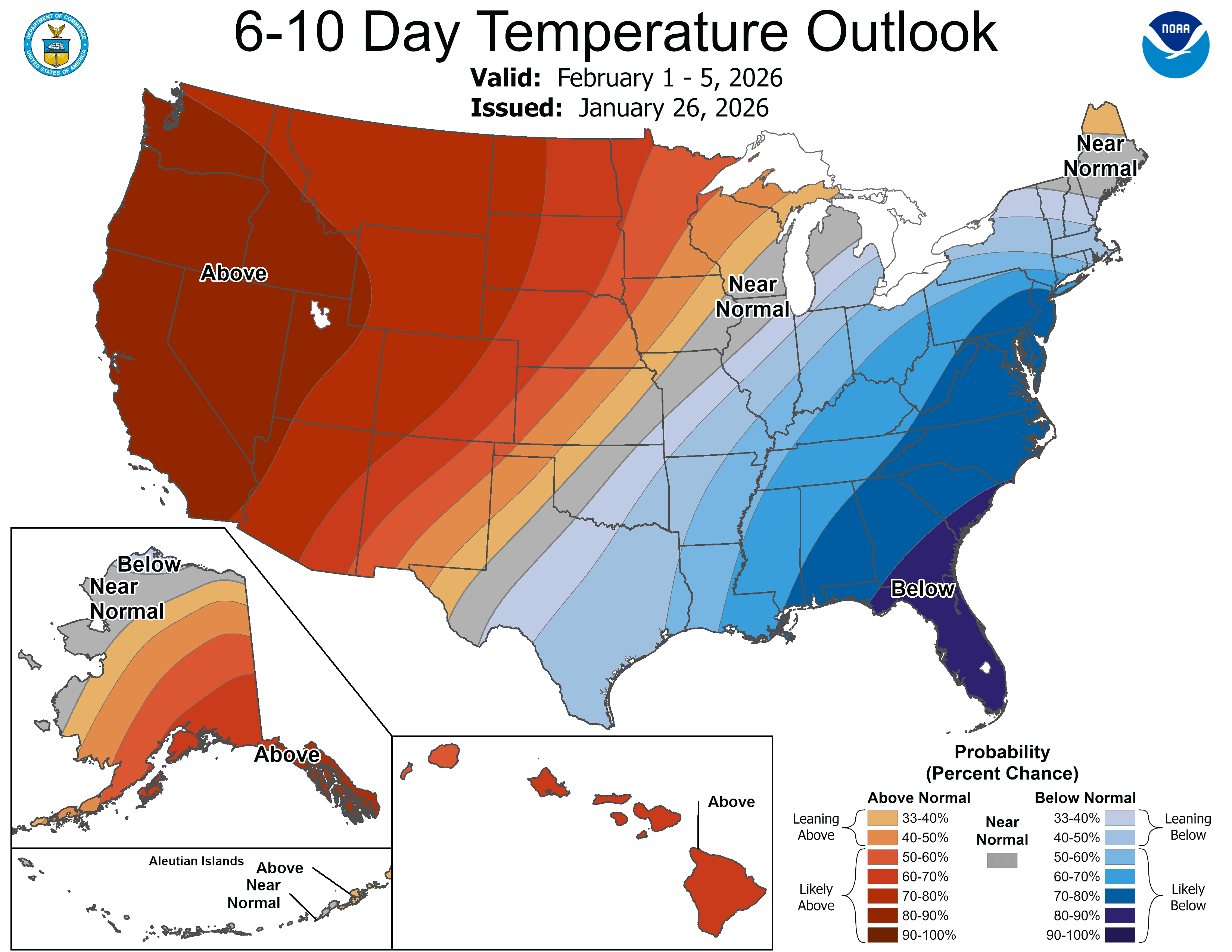
The upper-air pattern across North America next week shoves milder air toward Minnesota.
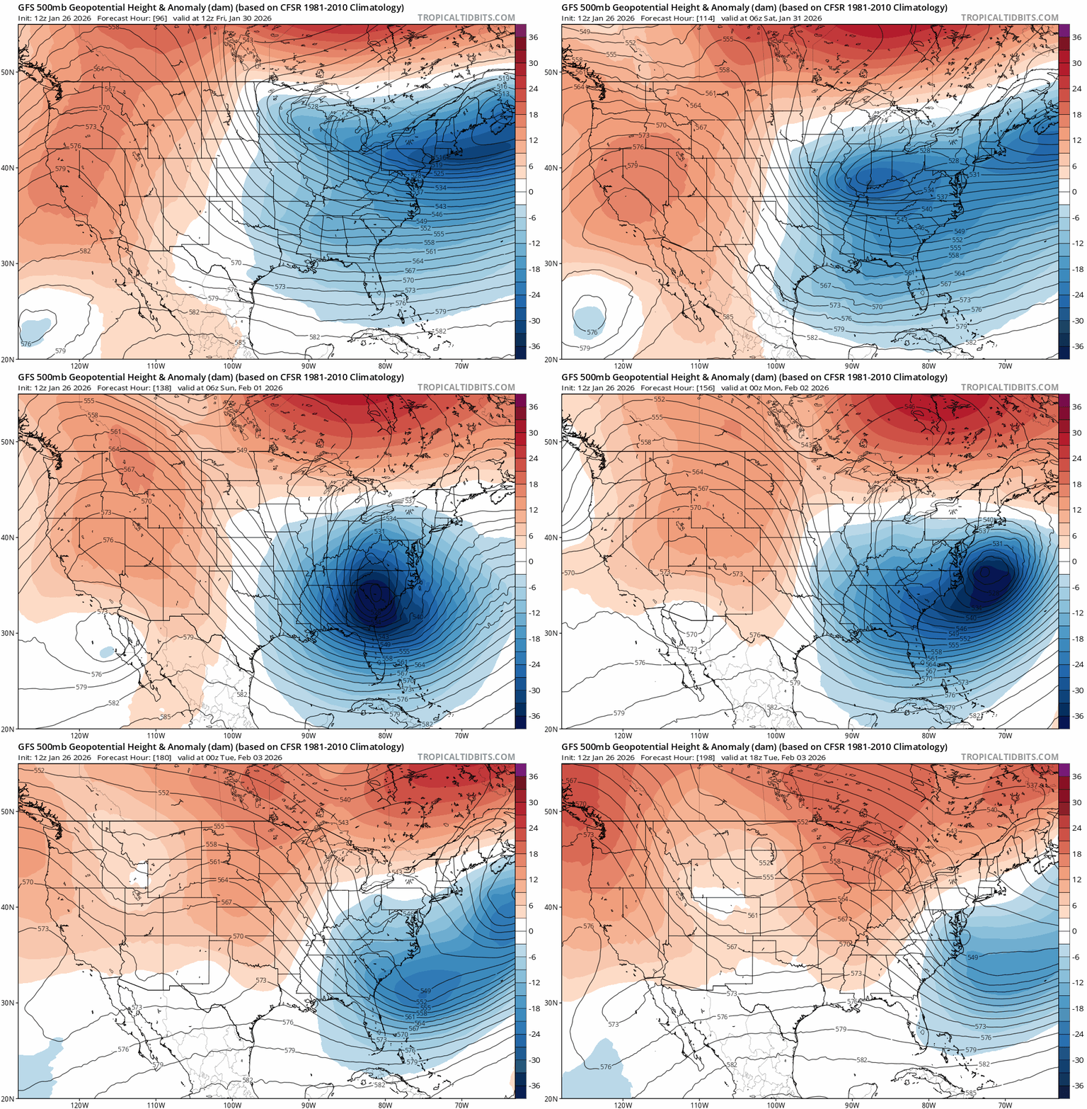
Highs next week will run in the 20s with 30s possible in the south. There are signs of a bigger thaw possible the weekend of Feb. 7-8.

There are also hints of a wetter pattern emerging next week. It still looks cold enough for snow with a possible system around next Tuesday.
I think the worst of winter’s cold is behind us now, but it still looks more typically wintry as we head into February. We’re probably not done with subzero temperatures just yet.
Many Minnesotans would enjoy some more snow to play in. It looks like we may get some in February.
Stay tuned.

