
Winter report card: Colder than normal so far with below average snow
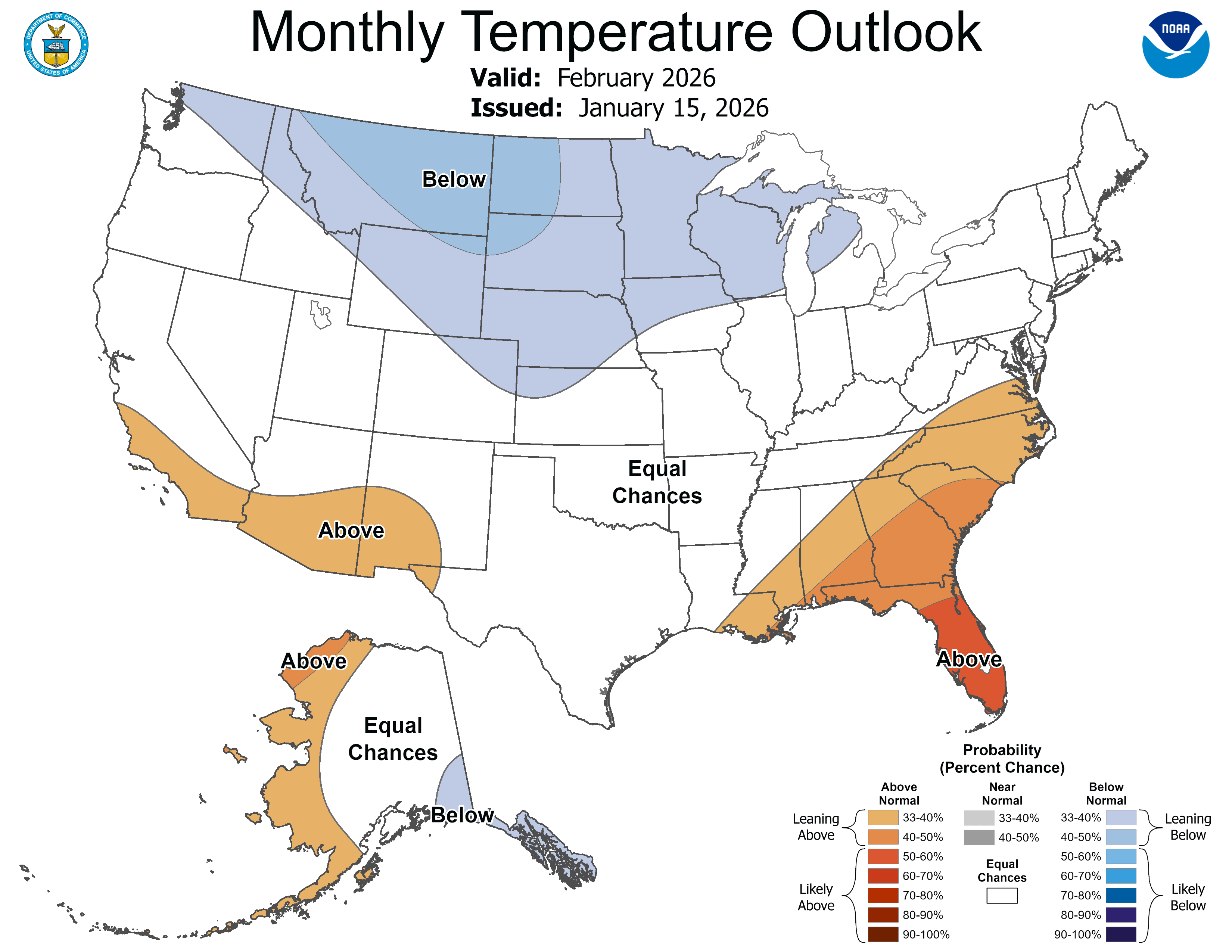
February outlook favors continued colder-than-normal temperatures
Go Deeper.
Create an account or log in to save stories.
Like this?
Thanks for liking this story! We have added it to a list of your favorite stories.


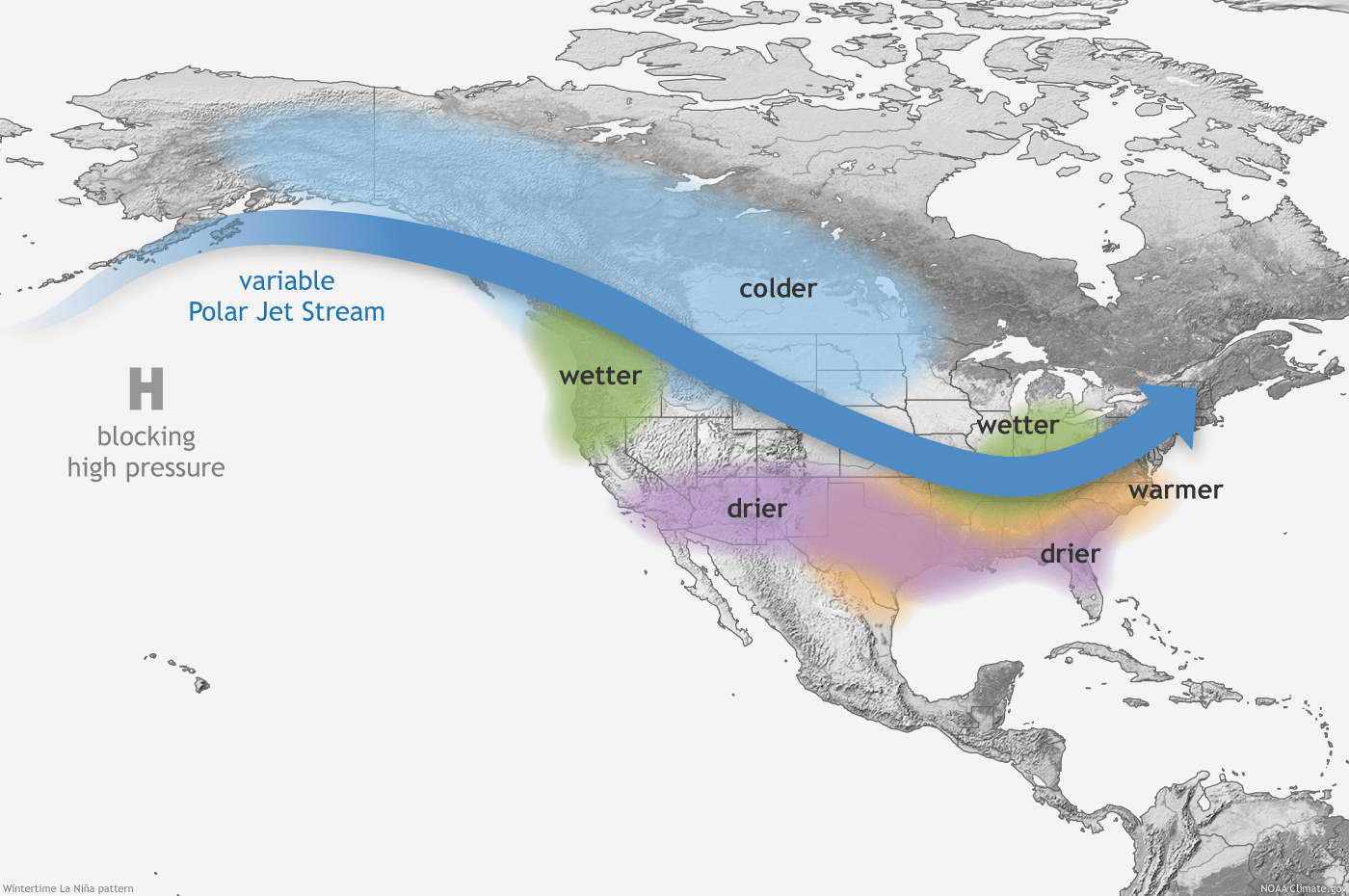
It’s a real La Niña winter this season Minnesota. As I wrote last fall, La Niña episodes statistically favor colder and snowier than normal winters in Minnesota.
We’ve got the cold part well under control. Now we just need to finish the snow season with a more active pattern
So far this winter we’re running more than 2 degrees colder than normal in the Twin Cities and Minnesota. December came in at minus 3.1 degrees vs. normal for Minneapolis-St. Paul International Airport.
So far, January is running about minus 1.5 degrees colder than normal for the month.
Turn Up Your Support
MPR News helps you turn down the noise and build shared understanding. Turn up your support for this public resource and keep trusted journalism accessible to all.
The outlooks for February continue to favor below normal temperatures overall, but keep in mind that winters in Minnesota have warmed more than 5 degrees on average since 1970.

So even though this winter is running a couple of degrees below the 30-year norms, it’s not nearly as cold as most winters in the 1970s.
It’s been seven years since we hit minus 20 degrees in the Twin Cities last Friday. That (and colder) used to happen two or three times a winter in most of the 1970s!
Our average coldest temperature of winter has warmed on average from minus 26 degrees to minus 13 degrees over the past few decades.

Below normal snowfall
Snowfall is running a bit below normal so far this winter. We've recorded about 28 inches of snow in the Twin Cities so far. That’s an inch below the seasonal average to date of 29 inches. Our seasonal (30-year) average snowfall for the Twin Cities is about 52 inches.
Northern Minnesota is running about a foot below average snowfall so far this season. We’ll need an active snow pattern to kick in if we’re going to reach normal snowfall this season. Right now, I don't see a snowier pattern evolving just yet.
Gradually milder

Lows Thursday morning will dip to subzero levels again across most of Minnesota. It will be our 16th subzero morning this winter season.

That puts us about on pace to reach the seasonal average of 22 subzero days in the Twin Cities.
Brighter late January sunshine will help us recover to around 10 in the south once again Thursday afternoon.

We’ll warm up gradually through the upcoming weekend. Temperatures will tickle the 30-degree mark in southwestern Minnesota by Sunday afternoon.

The European and American models are still hinting at a possible thaw by late next week.

Stay tuned.

