
Brief thaw Thursday; bigger thaw possible next week
Highs in the 30s to 40s forecast for much of next week
Go Deeper.
Create an account or log in to save stories.
Like this?
Thanks for liking this story! We have added it to a list of your favorite stories.


It’s been a chilly run of colder-than-normal temperatures for the past two to three weeks.
Since Jan. 17 we’ve racked up 12 subzero mornings in the Twin Cities. That puts our seasonal number of subzero days at 17, just five shy of the annual average of 22 subzero days.
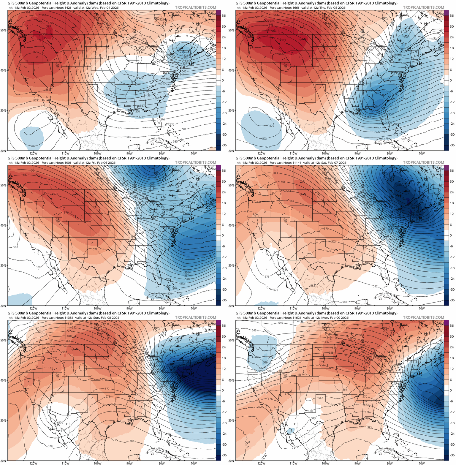
We won’t be adding to that this week, though. A major pattern shift in the upper-air flow across North America will increasingly pump milder Pacific air toward Minnesota in the next week to 10 days.
On the map below, the National Oceanic and Atmospheric Administration’s Global Forecast System upper-air loop shows the trend between Wednesday and next Monday.
Turn Up Your Support
MPR News helps you turn down the noise and build shared understanding. Turn up your support for this public resource and keep trusted journalism accessible to all.
Highs Wednesday will run pretty close to normal. The normal high in the Twin Cites Wednesday is 25 degrees.

Thursday brings a brief thaw. Temperatures will approach 40 degrees in the Twin Cities Thursday afternoon with 40s in the southwest.

Where’s the snow?
I see little to no snow on the weather maps for most of Minnesota except the far northeast for the foreseeable future.

There are some signs that we could shift to a more southwesterly upper-air flow late in February into March. In theory, that could push more frequent snow, ice, and rain systems toward the Upper Midwest in a few weeks.
Keep in mind that the normal snowfall for the Twin Cities in March is 8.2 inches. So we’re not out of the woods for significantly more snow just yet.
Bigger thaw next week?
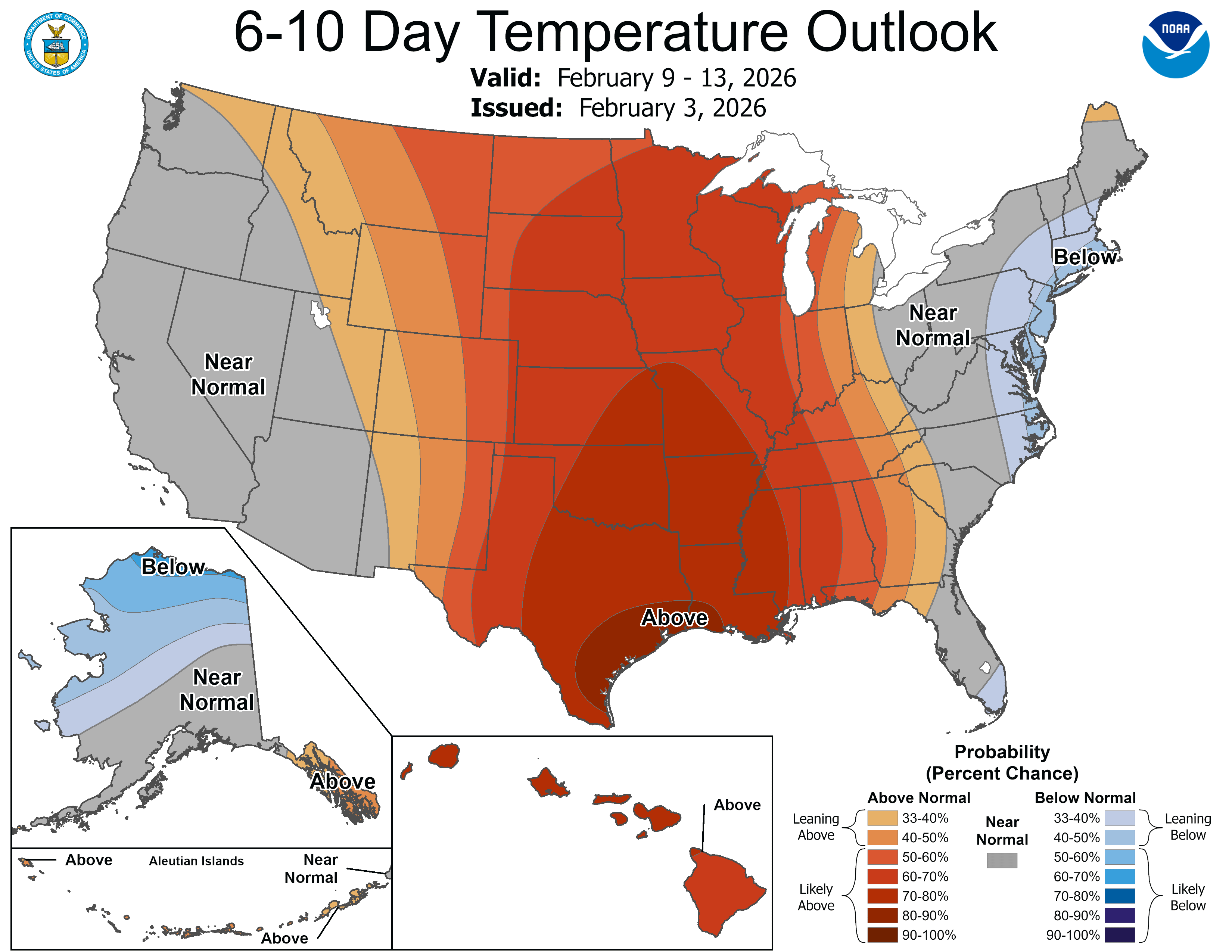
I’m still cautious about just how warm we’ll ultimately get next week. Most models suggest 30s to 40s in the south next week.

The European Centre for Medium-Range Weather Forecasts model has been consistently too warm for a couple weeks now. But if we’re able to lose our thin snow cover temperatures could respond to our stronger sun intensity and push through the 40s in the next couple weeks.
Stay tuned.

