
Wintry Saturday ahead; another thaw early next week
Subzero temps north Saturday morning; 40s to 50s return Monday in the south

Go Deeper.
Create an account or log in to save stories.
Like this?
Thanks for liking this story! We have added it to a list of your favorite stories.


Get ready to ride the Minnesota temperature roller coaster once again.
Temperatures in southern Minnesota and around the Twin Cities on Friday started in the relatively balmy-for-February 30s, but then a cold front swept through. By Friday afternoon, temperatures were in the single digits above zero in northern Minnesota.

Subzero wind chills will visit most of Minnesota overnight into Saturday morning once again. Air temperatures will bottom out as cold as minus 20 degrees around Ely in the north.
The Twin Cities and the south will bottom in the low teens above zero Saturday morning. Check out the map at the top of this post.
Turn Up Your Support
MPR News helps you turn down the noise and build shared understanding. Turn up your support for this public resource and keep trusted journalism accessible to all.
Saturday brings plenty of sunshine, lighter winds and pretty typical February temperatures. It will be a great day to do all things Minnesota winter outdoors.

Our recent snow drought continues. Right now, I don’t see any significant snow systems on the maps for at least a week.
Next thaw by Sunday afternoon
Sunday brings another push of milder air into Minnesota. Highs will crack the thawing point in the Twin Cities and southern Minnesota Sunday afternoon, and the 40s return to southwestern Minnesota.

Monday brings the peak of this thaw. Highs should have no problem reaching into the 40s from the Twin Cities south and west. Highs in the 50s will visit southwestern Minnesota again Monday.

Next week’s thaw looks likely to only last into Tuesday with cooler temperatures again midweek. There are some hints at another thaw Valentine’s Day weekend and possibly beyond.
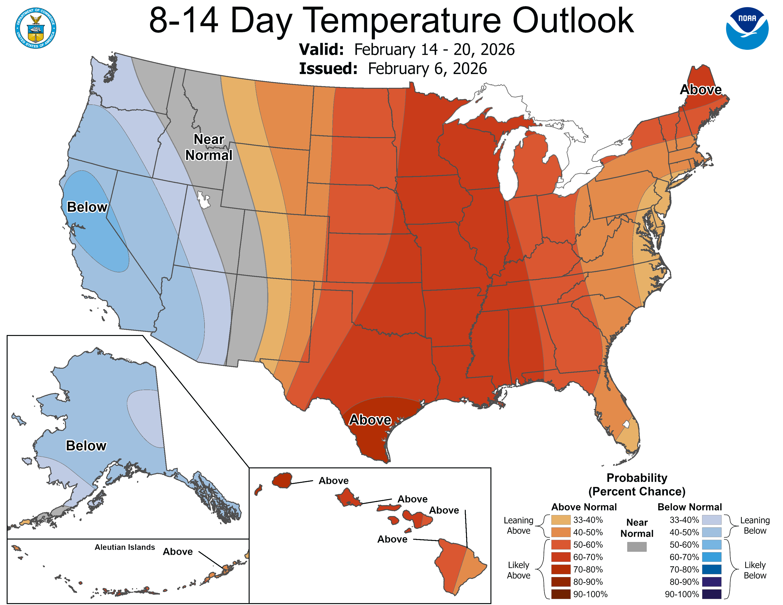
Warm hearts, and hopefully warmer thermometers.
Stay tuned.

