
Super-sized February thaw ahead: 50 degrees possible by Saturday
Pacific breeze blows in temps 20 degrees warmer than normal; near-record highs possible for Valentine's Day
Go Deeper.
Create an account or log in to save stories.
Like this?
Thanks for liking this story! We have added it to a list of your favorite stories.


Warm hearts and near-record warm temperatures?
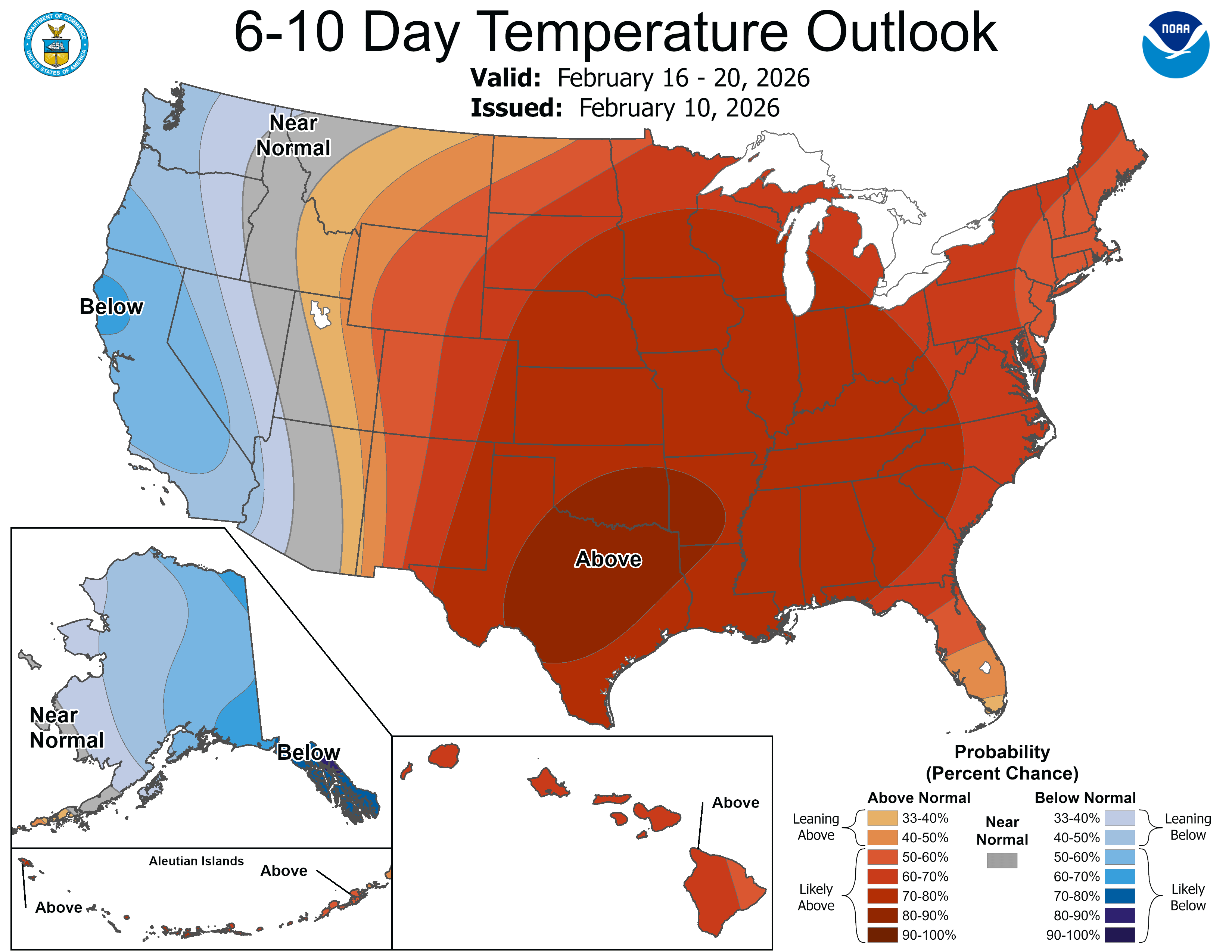
That looks like the recipe for Valentine’s Day 2026 in Minnesota. An unseasonably mild air mass blows into Minnesota from the Pacific Ocean over the next week.
The warmup begins Wednesday and Thursday with plenty of sunshine, less wind and temperatures pushing into the 40s again in southern Minnesota, including the Twin Cities.

Our warmup builds as the weekend approaches. By Friday afternoon, highs in the 50s will be common in the far south. It appears our thaw will peak between Valentine’s Day and next Monday. High temperatures should reach close to 50 degrees in the Twin Cities Saturday.
Turn Up Your Support
MPR News helps you turn down the noise and build shared understanding. Turn up your support for this public resource and keep trusted journalism accessible to all.

The record high for Saturday in the Twin Cities is also 50 degrees, set way back in 1882.
Sunday and Monday look warm as well. Highs in the 50s again Monday afternoon looks likely nearly a week out.

More winter likely ahead
I wouldn't break out the golf clubs just yet. Temperatures look colder again late next week into late February.
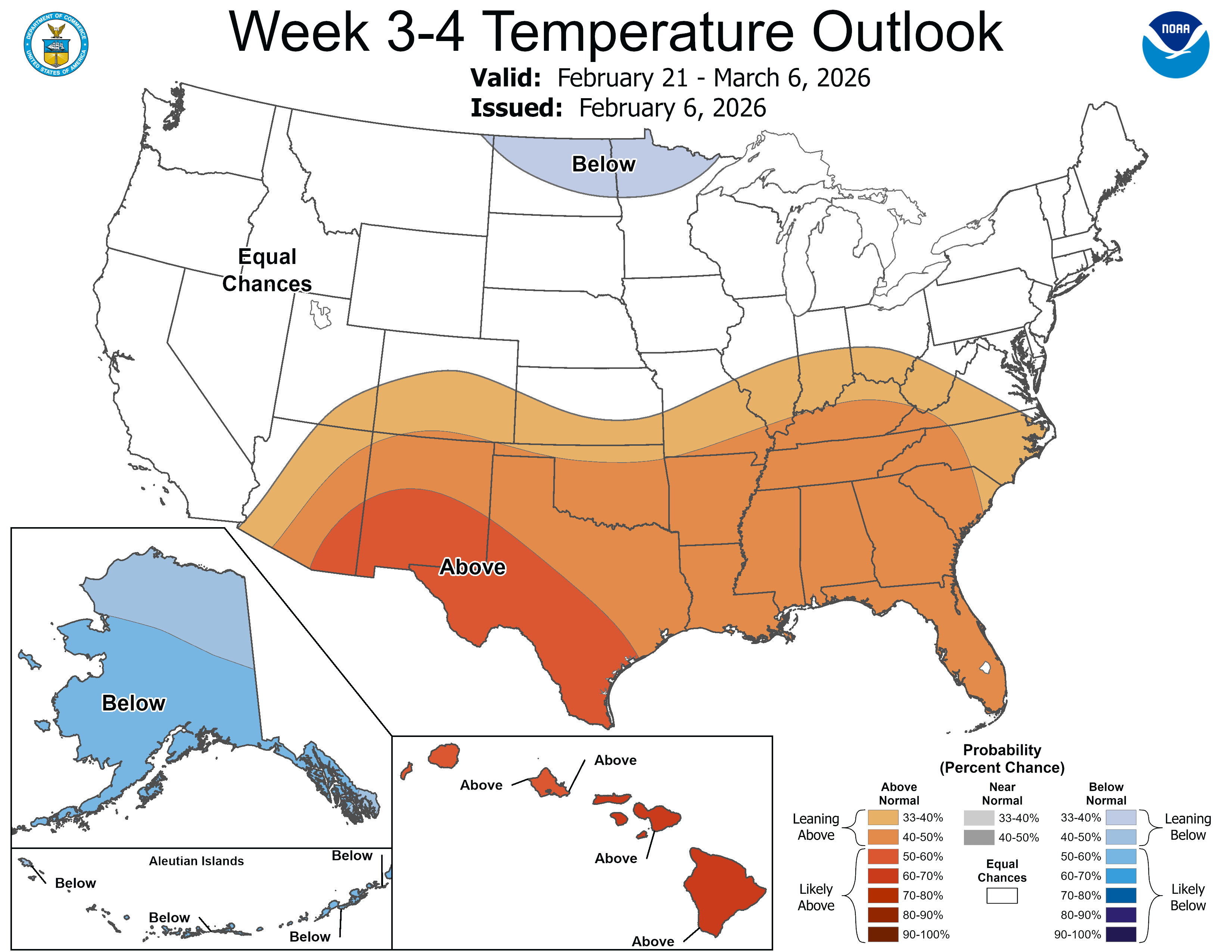
Keep in mind, we still typically get a subzero day or two in late February and even the first week of March.
And we average about 16 inches of snow in the Twin Cities between the last half of February and early April. We’ve had some whopper snows in April in the past decade in Minnesota.

It’s way too early to write off wintry weather just yet. This is Minnesota, after all.
Stay tuned.

