
Spring fever outbreak: Twin Cities may see 50 degrees, record warmth Saturday
Temps more than 20 degrees warmer than normal late this week
Go Deeper.
Create an account or log in to save stories.
Like this?
Thanks for liking this story! We have added it to a list of your favorite stories.


Here come the California breezes.
On the map below, you can already see the bubble of mild air building Wednesday afternoon to the southwest of Minnesota.

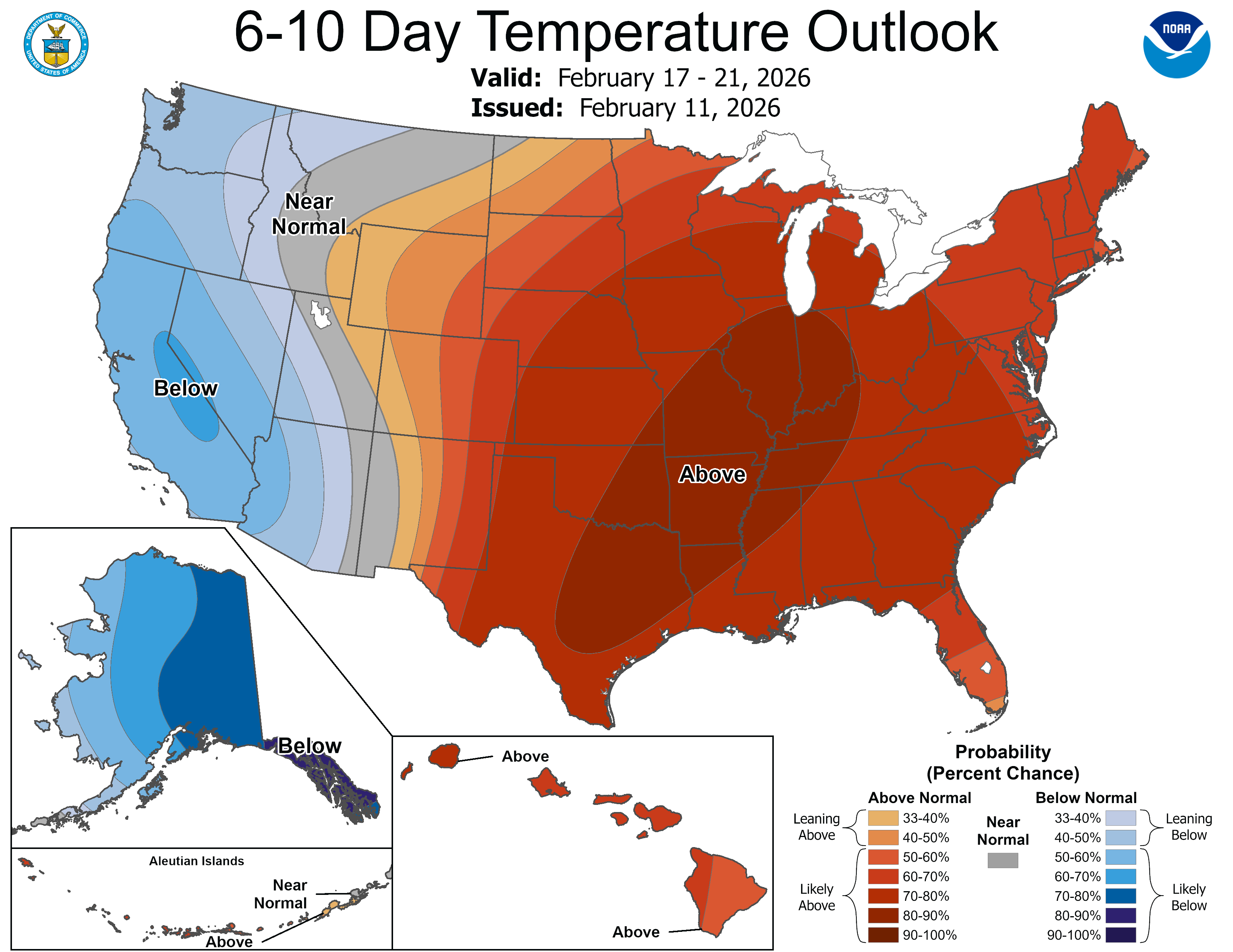
This week’s Pacific flow will blow far milder-than-normal air into Minnesota into the upcoming weekend. Temperatures in the Twin Cities by Saturday will run more than 20 degrees above our normal high of 28 degrees.
What little snow we have left across southern Minnesota will be just remnant snow plow piles late this week as bare grass returns to our landscape. The inbound solar radiation from ample sunshine will be even more efficient at heating our atmosphere as the snow melts.
Turn Up Your Support
MPR News helps you turn down the noise and build shared understanding. Turn up your support for this public resource and keep trusted journalism accessible to all.

We walk up the temperature ladder this week with highs in the 40s in the Twin Cities and more 50s in the south by Thursday afternoon.

We step up another few rungs by Friday afternoon.

Saturday — Valentine’s Day — brings the warmest day of this week with highs in the 50s all the way to the Twin Cities.
The record Twin Cities high for Feb. 14 is 50 degrees, set in 1882. We have a decent shot to tie or break that 144-year-old record on Saturday.

A weak cold front may trim a few degrees Sunday, but highs in the 50s to 60 degrees far south look likely again by Monday of next week.

Rain, snow possible next Tuesday
We all know we’re not done with wintry weather in these parts. The maps for next week favor a possible rain and snow system crossing Minnesota Tuesday.
The map below shows the National Oceanic and Atmospheric Administration’s Global Forecast System run for next Tuesday. I fully expect it to change, but it does favor the notion of a possible rain or snow system toward the middle of next week.
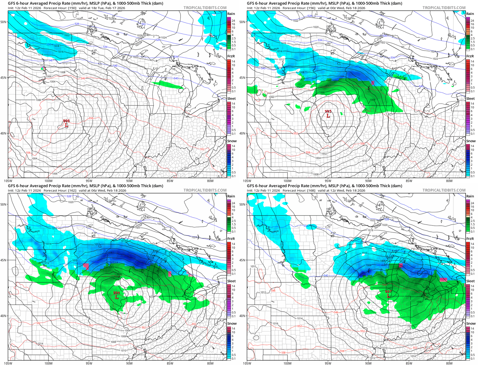
It’s too early to tell who will ultimately see rain or snow next week, but it’s worth watching.
Until then, prepare for an extended February thaw through the upcoming weekend.
Stay tuned.

