
Weather whiplash: Wild temperature swings ahead
A series of extremely different air masses will sweep across Minnesota in the next 10 days.
Go Deeper.
Create an account or log in to save stories.
Like this?
Thanks for liking this story! We have added it to a list of your favorite stories.


Get ready for a ride on Minnesota's famed weather roller coaster.
A series of contrasting air masses will sweep rapidly across Minnesota over the next 10 days. The first rapid change hit Minnesota Tuesday. Our wintry morning mess gave way to sunshine and a flash thaw Tuesday afternoon in southern Minnesota and the Twin Cities.

Now we feel the gusty northwest winds of another wintry air mass that will plunge temperatures into the minus 10s in northwestern Minnesota by Wednesday morning. We’ll bottom out around 10 degrees in the south.

Wednesday brings another wintry day under sunshine.
Turn Up Your Support
MPR News helps you turn down the noise and build shared understanding. Turn up your support for this public resource and keep trusted journalism accessible to all.

Next thaw Thursday and Friday
By Thursday, winds turn into the south once again. Milder, springlike air has been building across the central Plains. Temperatures will pump up into the 40s again in southern Minnesota Thursday afternoon.

By Friday, 40s will be widespread, and 50s return south of the Twin Cities.

You can guess the next change. A frigid air mass pours south from Canada once again this weekend into early next week.
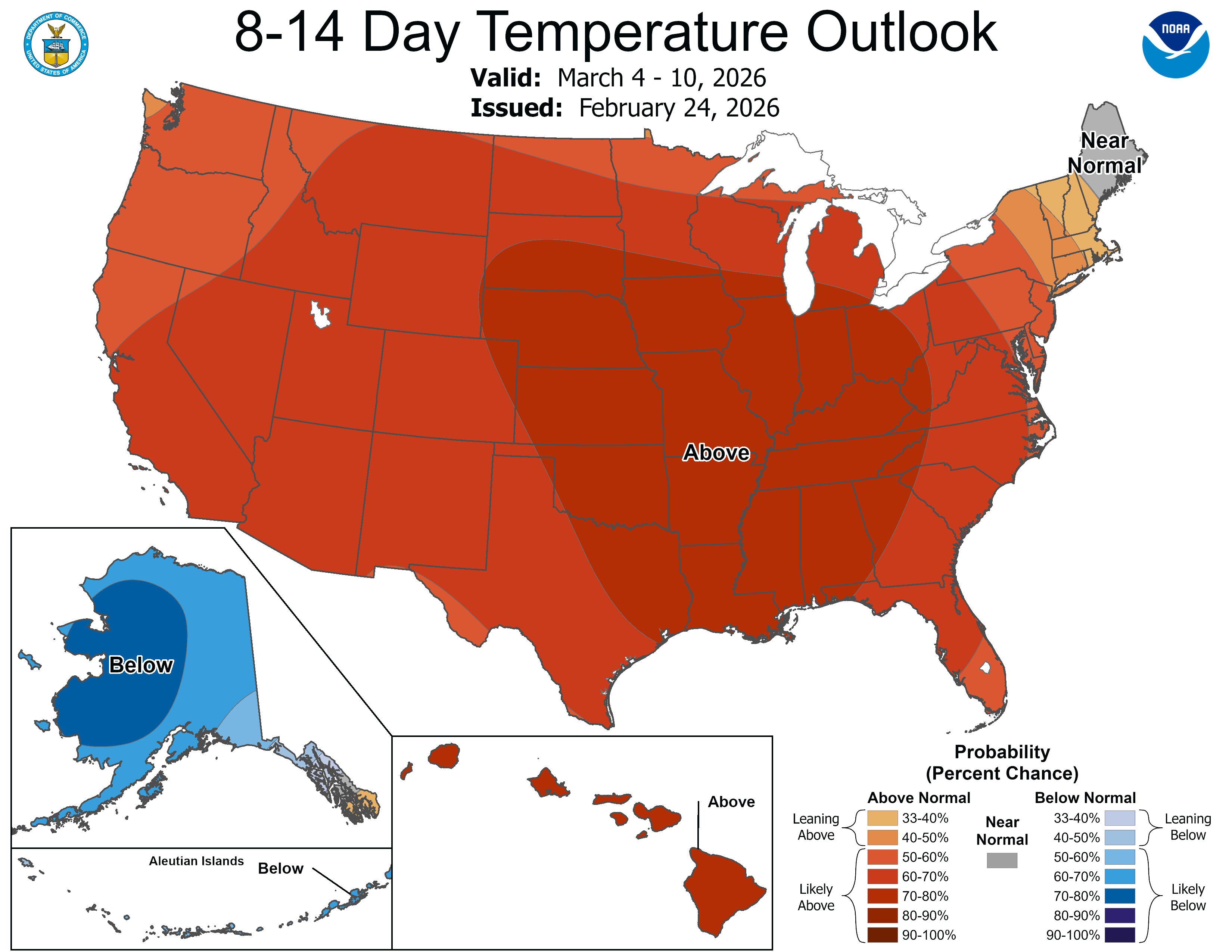
But another, bigger thaw looks possible by later next week.
The Canadian model suggests possible rain in the south with possible snow further north late next week. So we could get a state tournament rain or snow storm in the first week of March this year.
Stay tuned.

