
Prolonged thaw this week; Friday rain with thunder possible in the south.
Highs in the 50s and 60s ahead. Springy rain and some thunder possible Friday.

Go Deeper.
Create an account or log in to save stories.
Like this?
Thanks for liking this story! We have added it to a list of your favorite stories.


Bye-bye snow cover.
An unseasonably warm air mass for early March is sifting into Minnesota this week. Temperatures will be running almost 20 degrees above normal for much of central and southern Minnesota this week.
Wednesday brings plenty of sunshine that will help boost temperatures . High in the 50s will cover most of the southern half of Minnesota Wednesday.

The relative warmth persists Thursday with similar temperatures.
Turn Up Your Support
MPR News helps you turn down the noise and build shared understanding. Turn up your support for this public resource and keep trusted journalism accessible to all.

Friday rain, and thunder?
Our next weathermaker arrives Friday. It’s warm enough for rain in the central and south. It may be cold enough for some sloppy snow on the backside in western and northern Minnesota TBD.
The European model shows system trends between midnight Friday and midnight Saturday. (Friday night)
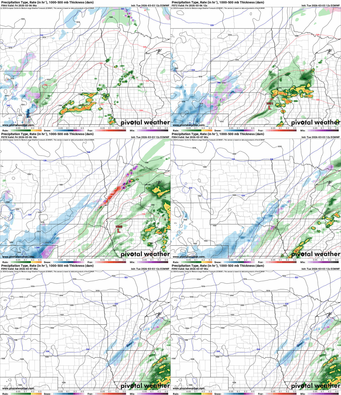
The system is strong enough to produce some severe storms in the central Plains south of Minnesota Friday. NOAA’s Storm Prediction Center (I haven’t typed that in a while) lays out a severe risk across small part of southeast Minnesota Friday.
The weekend looks sunnier and trending milder once again. Highs in the 40s Saturday give way to 50s and possible 60s again Sunday and Monday. The Twin Cities could see our first 60-degree temperature of the year Sunday or Monday afternoon.

Forecast models suggest colder air again late next week and chance for some snow. Wintry weather may not be done with us just yet.
Stay tuned.

