
April preview: Friday rain and thunder, first 60s Friday or Sunday
Unseasonably mild temperatures continue through next Monday.

Go Deeper.
Create an account or log in to save stories.
Like this?
Thanks for liking this story! We have added it to a list of your favorite stories.


Welcome to our April preview.
Our unseasonably mild air mass lingers across most of Minnesota into early next week. Our warm-up comes with a side of fog. Daytime snow melt pumps additional moisture into the atmosphere these days. That means foggy nights and mornings are again possible this week.
Where the sun came out Wednesday temperatures soared into the 50s in western Wisconsin and parts of Minnesota even in the north. Check out the mild air mass with 60s to low 70s to the west in the Dakotas!

Thursday brings another foggy start for many of us. How warm we will get depends on how quickly the fog is able to burn off. Highs should reach the 50s again in areas that get any afternoon sunshine.
Turn Up Your Support
MPR News helps you turn down the noise and build shared understanding. Turn up your support for this public resource and keep trusted journalism accessible to all.

Friday rain, and thunder?
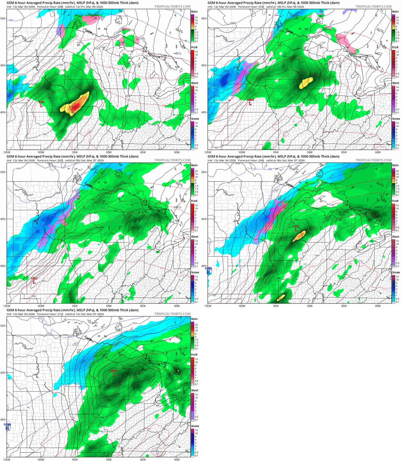
We’re still on track for a sloppy storm to roll through Minnesota Friday. It will be warm enough for all rain in the south. Scattered rain and even a few thunder cells will roam.
There is a marginal risk for isolated severe storms with high winds and hail across southeast Minnesota Friday.
A few model solutions have the low tracking further north Friday. That could put this Twin Cities into the warm sector in the 60s and bump that severe risk zone closer to MSP. Stay tuned on that.
To the north and west it may be cold enough for a couple sloppy inches of snow Friday into early Saturday.

Record warmth Monday?
A cooler Saturday gives way to highs near 60 in the Twin Cities and southern Minnesota by Sunday. We may challenge Monday’s record high of 62 degrees in the Twin Cities.

Colder air and snow chances return later next week so enjoy our prolonged mild spell.

