
Tuesday brings clipper with light snow, possibly season's last subzero morning
Temperatures in the 40s and 50s later in the week

Go Deeper.
Create an account or log in to save stories.
Like this?
Thanks for liking this story! We have added it to a list of your favorite stories.


It’s a wintry flashback around Minnesota these days. Our weather looks and feels more like January than mid-March.
Get ready for one more subzero morning Tuesday. It could be the last one of the season for most of Minnesota from the looks of the medium-range weather maps that take us into late March.
We bottom out just below zero Tuesday morning around the greater Twin Cities area.

Tuesday clipper
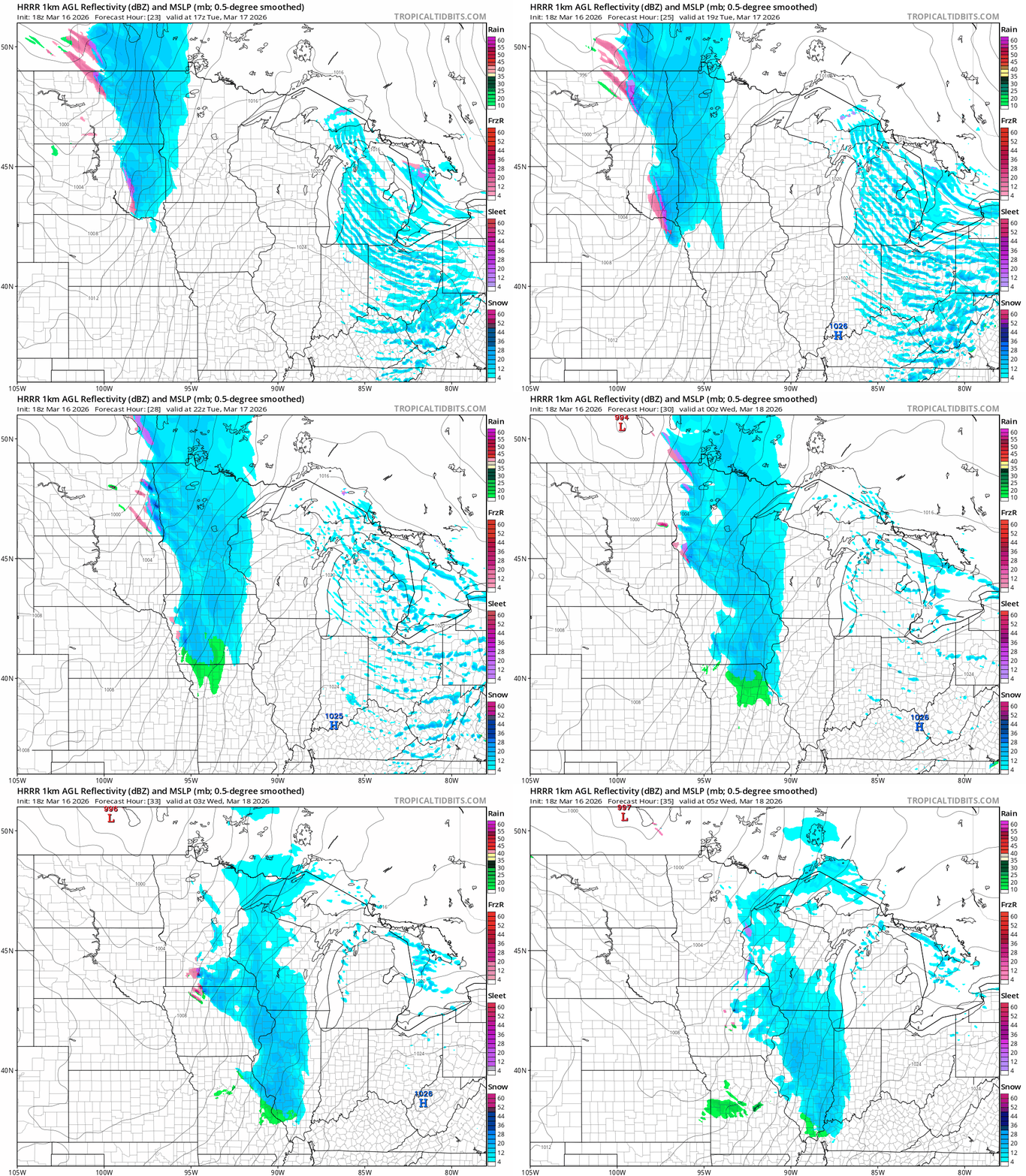
Tuesday brings a clipper sailing through Minnesota. Snow likely begins in the Red River Valley and northwestern Minnesota by midday. The leading edge likely arrives in the Twin Cities mid to late afternoon, so we could have some snow for the evening rush hours.
Turn Up Your Support
MPR News helps you turn down the noise and build shared understanding. Turn up your support for this public resource and keep trusted journalism accessible to all.
The National Oceanic and Atmospheric Administration’s High-Resolution Rapid Refresh model is in line with most forecast models on snowfall timing, coverage and intensity. The forecast model loop below runs between noon Tuesday and midnight Wednesday.
You can see NOAA’s National Blend of Models snowfall output for the state at the top of this post. Here’s NBM’s closer look for central and southern Minnesota and western Wisconsin:

Temperatures will be in the 10s north and 20s south as the snow falls. Roads may get a bit slick as the snow falls.

Milder days ahead
We’ll work on gradually melting snow later this week. Stronger March sunshine and temperatures in the 40s to 50s return, especially Friday and Saturday. Saturday looks like the warmest day this week.

Right now, there are no signs of a return to snowy weather in the next week or so.
We typically get another taste of snow in later March and even early April, but maybe spring is finally ready to take hold for real in the next three to four weeks.
Stay tuned.

