
Taste of June on Thursday, sharp cold front ahead Friday
Lots of 70s to 80s across Minnesota Thursday. Scattered rain and thunder possible Friday.

Go Deeper.
Create an account or log in to save stories.
Like this?
Thanks for liking this story! We have added it to a list of your favorite stories.


Spring is winning on the weather maps. But it’s not a straight line.
Thursday brings what may be the nicest day of spring across Minnesota. We’ll enjoy plenty of sunshine, balmy south breezes and warmer temperatures more typical of June.
Highs Thursday will reach the 80s in southwest Minnesota Thursday afternoon with 70s well into the north country. There are a couple forecast models that crank out 80 degrees for the Twin Cities Thursday afternoon.
But enjoy the one-day summer interlude. A sharp cold front is on the way Friday.
Turn Up Your Support
MPR News helps you turn down the noise and build shared understanding. Turn up your support for this public resource and keep trusted journalism accessible to all.
The front will race through Minnesota quickly Friday. The front will sail through eastern Minnesota, including the Twin Cities, around midday. We’ll see 70s briefly ahead of the front, then temperatures will quickly crash into the 40s and 50s behind the passing front on gusty northwest winds.

Scattered showers and a few thunderstorms will fire along the front through the midday hours into afternoon.
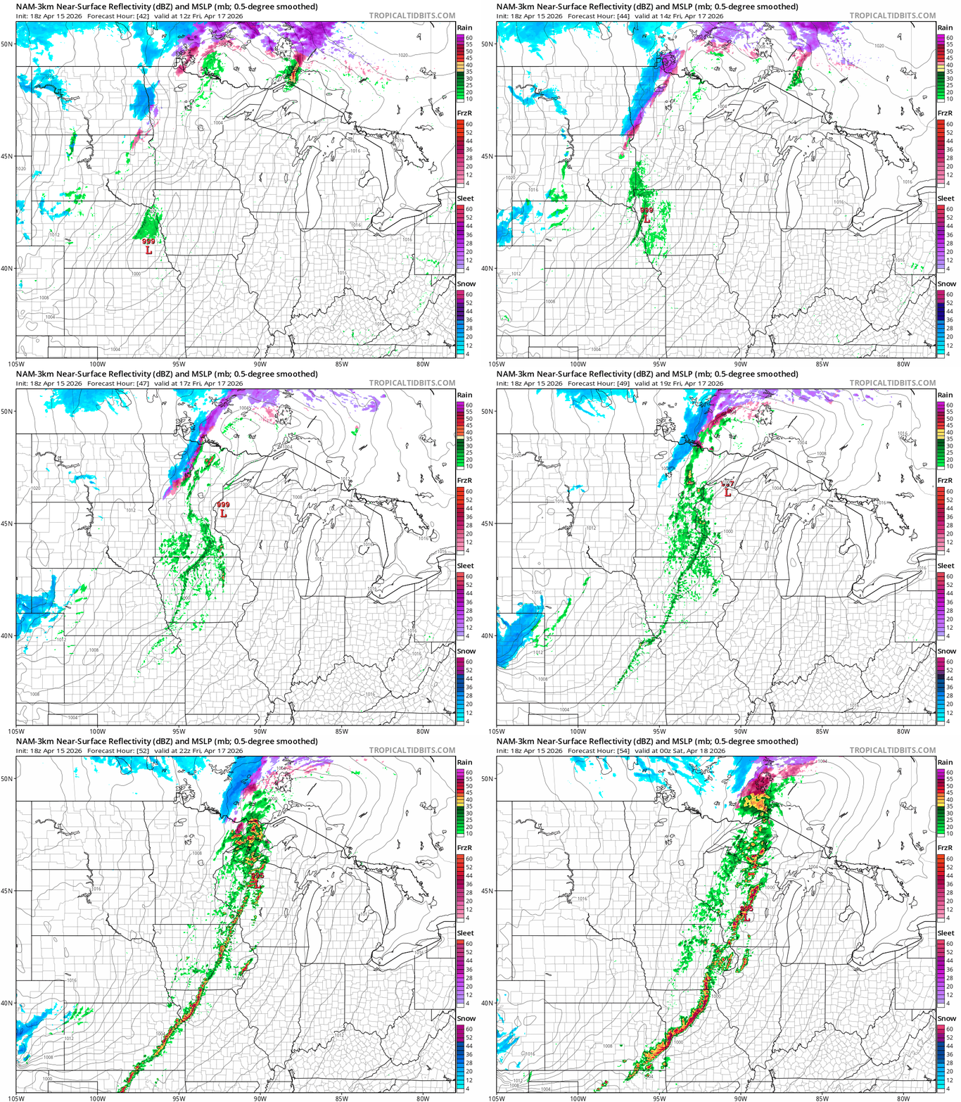
The highest risk for severe weather is east of the Twin Cities into southeast Minnesota, Wisconsin and eastern Iowa.

Chilly weekend ahead
I wish the timing were better for the weekend ahead. Snow showers will fly behind the front, especially in northern Minnesota, Friday night and Saturday. Highs will stall in the 30s and 40s Saturday.

Sunday looks mellower with sunshine, lighter winds and highs around 50 in the Twin Cities.
Warmer again next week
Warmer air pushes back and will linger much of next week. Highs start in the 60s Monday, but 70s return by Tuesday and last much of next week.
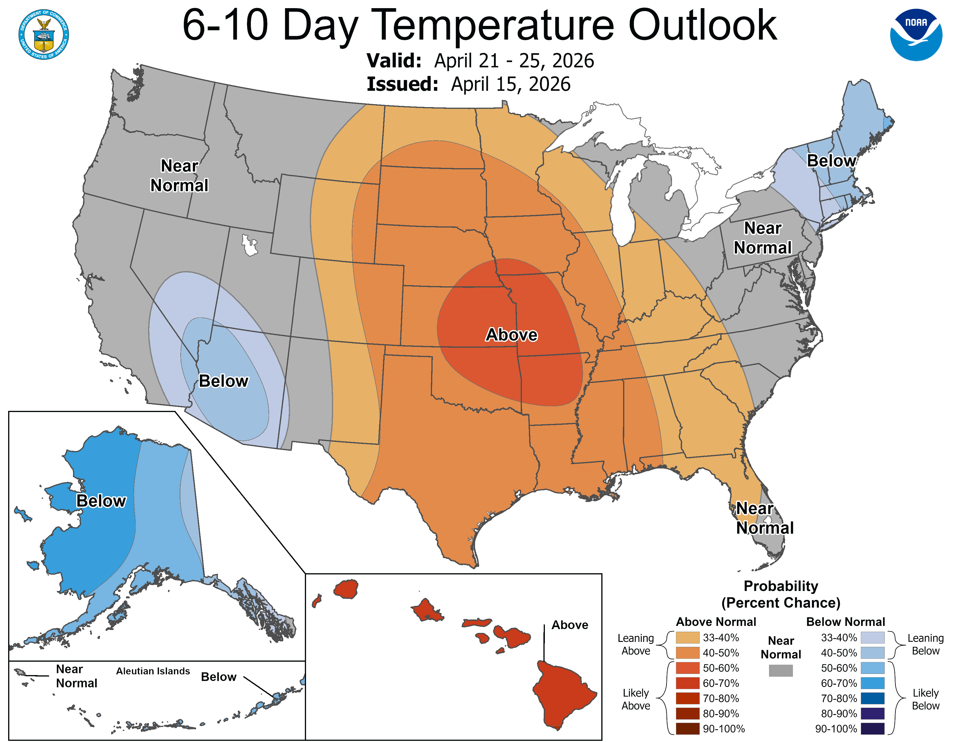
It’s coming.

