
Hotter Thursday with more storms possible
Additional storm chances into Saturday

Go Deeper.
Create an account or log in to save stories.
Like this?
Thanks for liking this story! We have added it to a list of your favorite stories.


Thursday will be hotter with highs near 90 degrees. More storms are possible later in the afternoon into the overnight. We have additional storm chances Friday and Saturday.
Hotter Thursday with more storms possible
Heavy rainfall prompted flash flood warnings early Thursday in southeastern Minnesota. Several inches of rain have fallen in those areas over the past 24 hours. Thunderstorms continued to develop and train over the same areas overnight due to a stalled frontal boundary.

Lingering showers and thunder will exit far southern and southeastern Minnesota during the morning hours Thursday. Most of central and much of northern Minnesota will see partly cloudy skies and hotter conditions.
Afternoon highs will be near 90 degrees in much of western and central Minnesota, including the Twin Cities, with 80s north and south.
Turn Up Your Support
MPR News helps you turn down the noise and build shared understanding. Turn up your support for this public resource and keep trusted journalism accessible to all.

Dew points on Thursday will remain muggy, mostly in the 60s and occasionally low 70s. That will make those highs near 90 feel a few degrees warmer.
We’ll see additional thunderstorms develop for far southern Minnesota later Thursday afternoon, near a meandering frontal boundary, while at the same time storms develop due to an upper level disturbance in the Dakotas this evening.
Those storms will track east and could hold together across the state into early Friday.
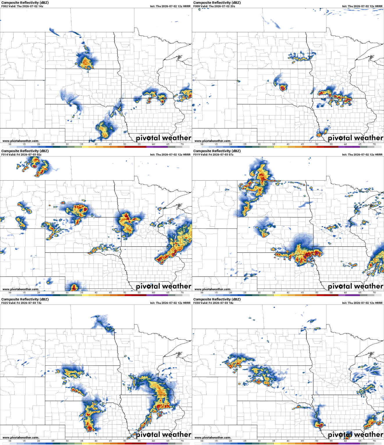
Storms that do develop late Thursday into Thursday night could become severe once again. There’s a slight risk (level 2 of 5) for much of southern Minnesota with an enhanced risk (level 3 of 5) in southwestern Minnesota.
In addition, there’s a flood watch Thursday for southeastern Minnesota as additional rainfall is likely to cause flooding on saturated ground. Multiple rounds of additional storms are possible on areas that have already received more than 5 inches of rain over the past 24 hours.

Friday will again be steamy after morning thunder and clouds decrease. Highs will be back well into the 80s if not near 90 degrees for some. Dew points will continue to be muggy in the 60s and low 70s.

More scattered storms look to develop and move across the state Friday night into early Saturday. At least spotty storms will be possible Saturday, the Fourth of July.
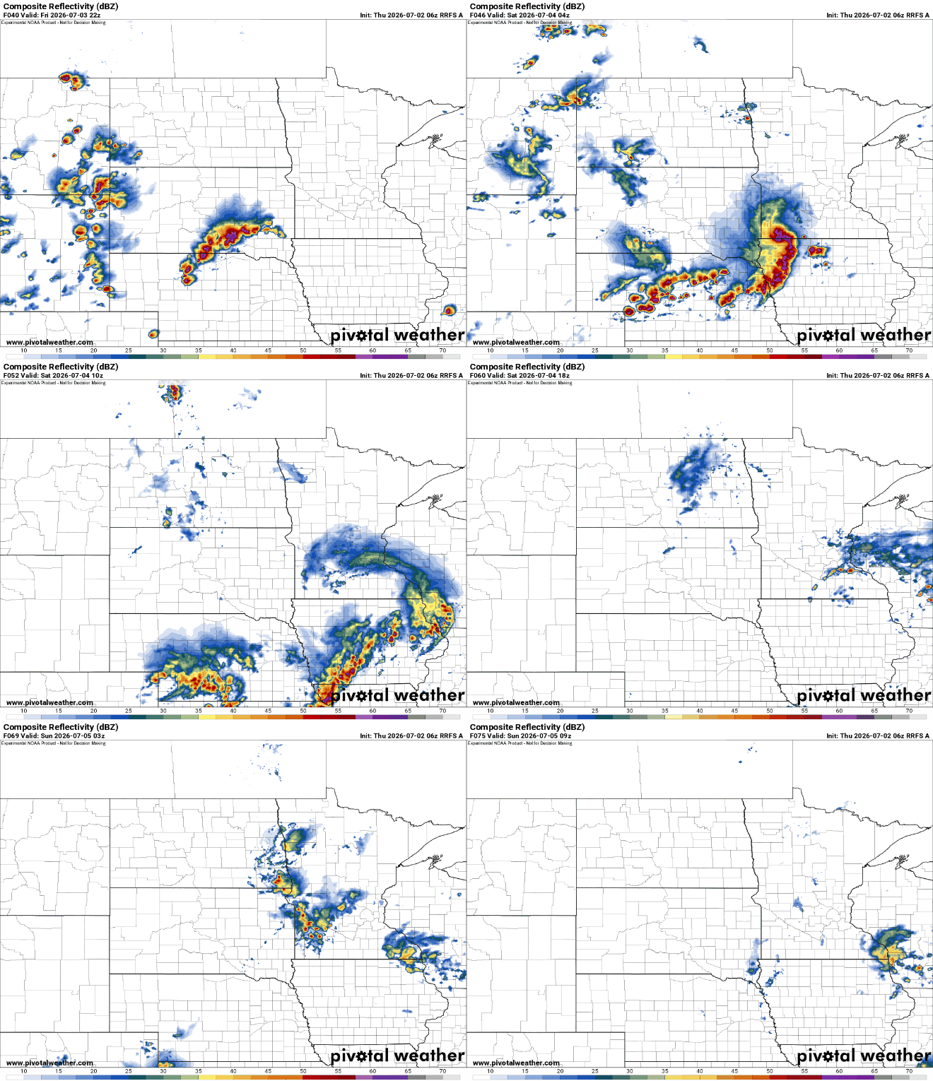
There’s an additional slight risk (level 2 of 5) for severe storms Friday into Friday night.

Behind a weak cool front, dew points will drop slightly into the low to mid-60s for Sunday and Monday and temperatures will dip just a bit too, mainly in the mid-80s.

