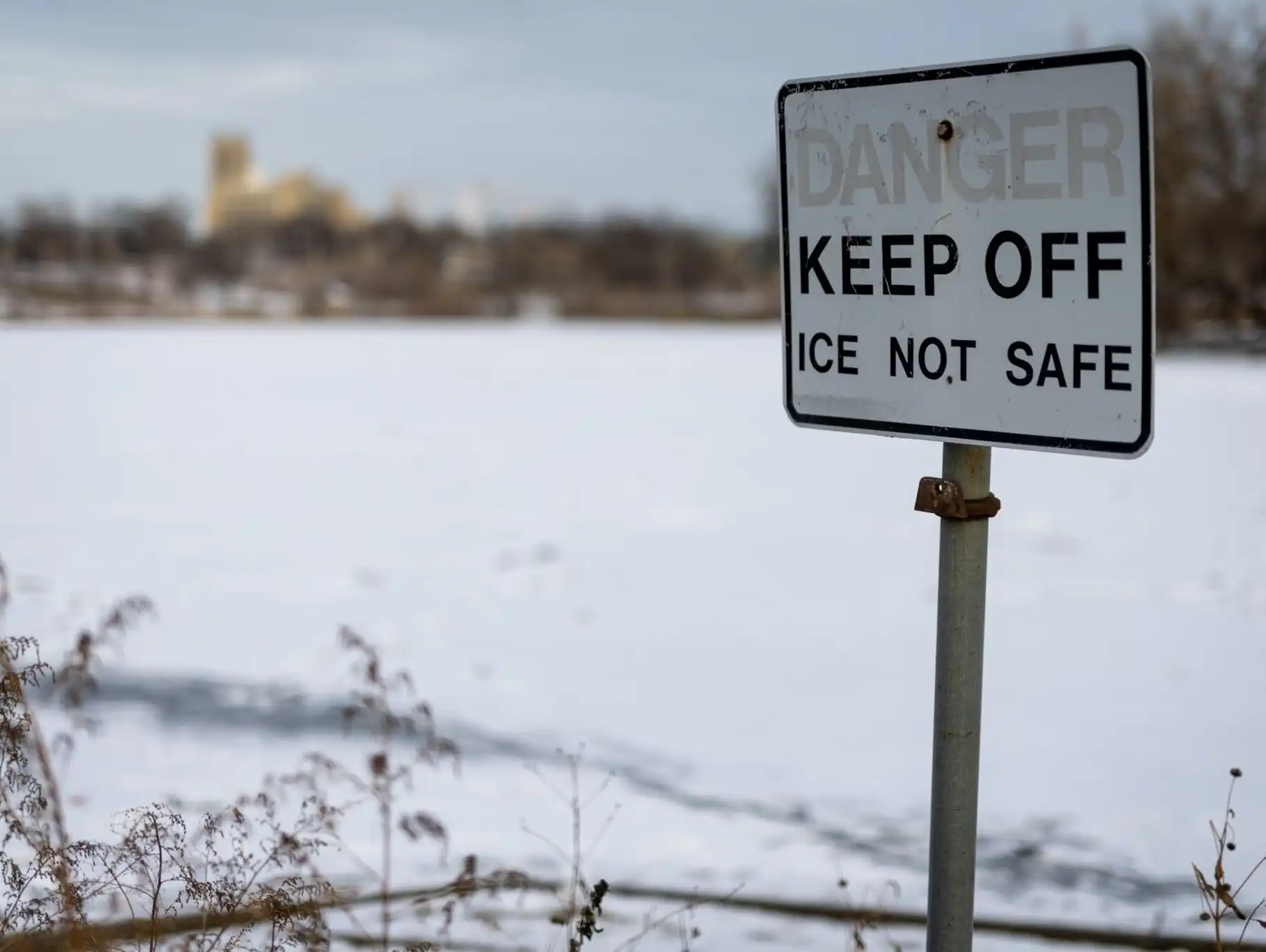
A Duluth man was found dead Monday after falling through ice in Superior, Wis., and three people were also rescued from lakes in Woodbury. Ice safety experts say lots of ice around the state is still too thin to walk on, even as temperatures drop quickly.
Cloudy skies and persistent northwest winds will persist until a shift to southerly winds ushers in warmer temperatures for Tuesday and early Wednesday. Another blast of arctic air will arrive Wednesday, causing temperatures to drop back into the teens, with a chance of light snow.
After a cold weekend, warmer temperatures will begin to return across the state. Highs are expected to approach or exceed freezing by Tuesday and Wednesday, but another wave of cool air will arrive to close out the week.
The heavy lake effect snow prompted the Buffalo Bills to ask fans for help clearing snow out of Highmark Stadium ahead of the team's game against the San Francisco 49ers on Sunday night.
Happy first day of meteorological winter! This past weekend certainly felt like winter, with temperatures 10-15 degrees below average. However, temperatures will gradually warm up to around the freezing point by Wednesday. Several disturbances will bring snow to various parts of the state.
Frigid air was expected to move over the eastern third of the U.S. by Monday, while heavy snow was forecast to cause hazards in the Great Lakes, Plains and Midwest regions.
Frigid temperatures will persist into Saturday evening, with wind chill values staying below zero. Northwest winds and clear skies will bring one more bone-chilling evening. A gradual warming trend is expected by mid-week, with highs returning to around the freezing mark.
When it comes to staying informed in Minnesota, our newsletters overdeliver. Sign-up now for headlines, breaking news, hometown stories, weather and much more. Delivered weekday mornings.