

Storms roll into Wisconsin
Go Deeper.
Create an account or log in to save stories.
Like this?
Thanks for liking this story! We have added it to a list of your favorite stories.
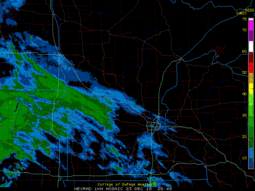
Visible satellite image showing strongest storms heading into west central Wisconsin about 630pm.
A Tornado Watch continues until 8PM CDT that includes the metro area. Short term computer models are hinting at the potential for more thunderstorm development in central Minnesota this evening. The satellite image also shows the boundary of the thunderstorms near Rochester that have the potential to become severe.
Heavy rain is likely with these storms, along with dime size hail and wind gusts to 50 mph.
Turn Up Your Support
MPR News helps you turn down the noise and build shared understanding. Turn up your support for this public resource and keep trusted journalism accessible to all.
