
Stormchasing tornado warnings
Go Deeper.
Create an account or log in to save stories.
Like this?
Thanks for liking this story! We have added it to a list of your favorite stories.


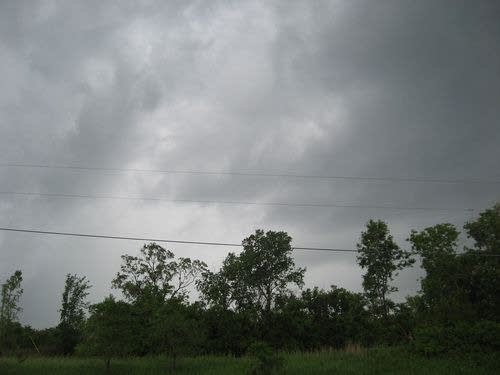
I'm out storm chasing the system that spawned tornado warnings along Highway 52. As Paul Huttner was on the air saying the system was probably cold-weather, funnel clouds, I sat along the highway south of Inver Grove Heights and watched the system head to the northwest, then turn slightly and head over West St. Paul.
Other than the quick shift in direction, I didn't notice any rotation, indicating the forming of a tornado, but as the storm moved to the east side of St. Paul, it sure seemed possible that it could.
MPR's Bill Kling is due to be on Talk of the Nation in a few minutes. It would be ironic if Minnesota Public Radio interrupts the national program for tornado warnings. But, it can't be helped.
Turn Up Your Support
MPR News helps you turn down the noise and build shared understanding. Turn up your support for this public resource and keep trusted journalism accessible to all.
3:10 p.m. - The storm seemed to weaken (probably because of the "heat island" effect if it actually existed) and then caused more warnings in the northern suburbs.
A tornado reportedly touched down briefly in Coon Rapids. But for the most part, the giant cloud was good for some visual interest, but not much more.
6:17 p.m. - If you're a lover of cloud formations, this was your kind of day...

