Snow shock: Heavy snow about to descend on parts of Minnesota

The spring blizzard brought wet, heavy snow and gusty winds in April 2018.
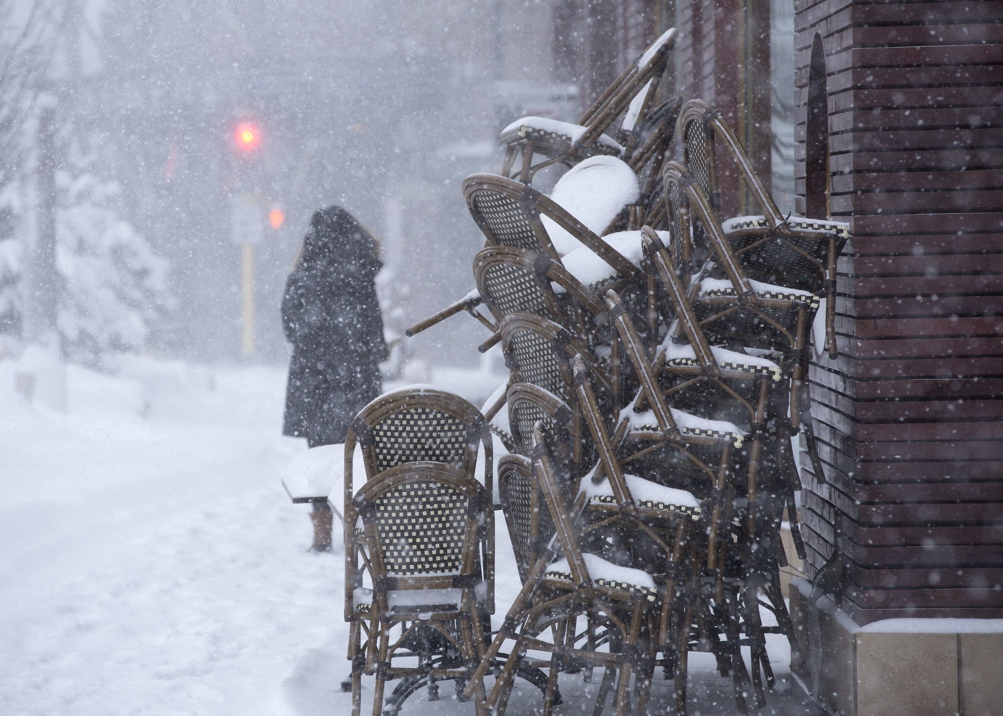
The spring blizzard brought wet, heavy snow and gusty winds to the Twin Cities in April 2018.
Judy Griesedieck for MPR News 2018

Minnesota's spring interlude gives way to a powerful snowstorm, with possible depths of a foot or more in parts of the state. The storm is expected to begin Wednesday night, with heavier snow on Thursday. Already Delta and Sun Country Airlines have issued waivers for customers to reschedule flights without having to pay fees.

The largest April snowstorm on record in the Twin Cities happened just last year when 15.8 inches fell over three days in mid-April. According to the National Weather Service, Minnesota can typically see around 3 inches of snow in April.

Meteorologist Brent Hewett says this week's snowstorm will likely bring much more than a few inches, with snow expected to fall at a rate of 1 to 2 inches per hour at times Thursday.

"We look back at the top 10 largest snow events and we've seen several 10-inch events in April stretching back to 1893," Hewett said.

Create a More Connected Minnesota

MPR News is your trusted resource for the news you need. With your support, MPR News brings accessible, courageous journalism and authentic conversation to everyone - free of paywalls and barriers. Your gift makes a difference.

This year's winter has been among the most difficult Rich Hall, the emergency management coordinator for Freeborn County, can remember.

During a February blizzard, the National Guard rescued and housed drivers stranded in the southern Minnesota county.

Hall hopes his area will see mostly rain this week, but that still can cause problems on the roads. Freeborn is one of the 33 Minnesota counties that have declared local emergencies this month to deal with springtime flooding that has washed out gravel roads.

Minnesota Department of Transportation spokesperson Kevin Gutknecht said crews have been focused on filling potholes over the last few weeks. But on Wednesday, the transportation department's fleet of trucks will be turned back into snowplows — a process that takes about an hour.

"If we have a freeze-and-thaw cycle for a couple of different days, it may create some more pothole issues," Gutknecht said. "Once the storm is done and things start to dry out a bit, we will get back to patching."

The National Weather Service is keeping a close eye on rivers across the state. Many crested last week causing major flooding across the Twin Cities and other areas of the state. Hewett said the forecast shows rivers will begin to rise again by the weekend.

"The more snow we get, the better from this scenario because the water will enter the rivers and tributaries slower than if it was just 2 or 3 inches of rain," Hewitt said.

Hewett added temperatures across the Twin Cities are forecast to climb back into the 40s and 50s next week.