5 great Twin Cities hiking spots for an afternoon outside

Nature abounds in the Twin Cities.
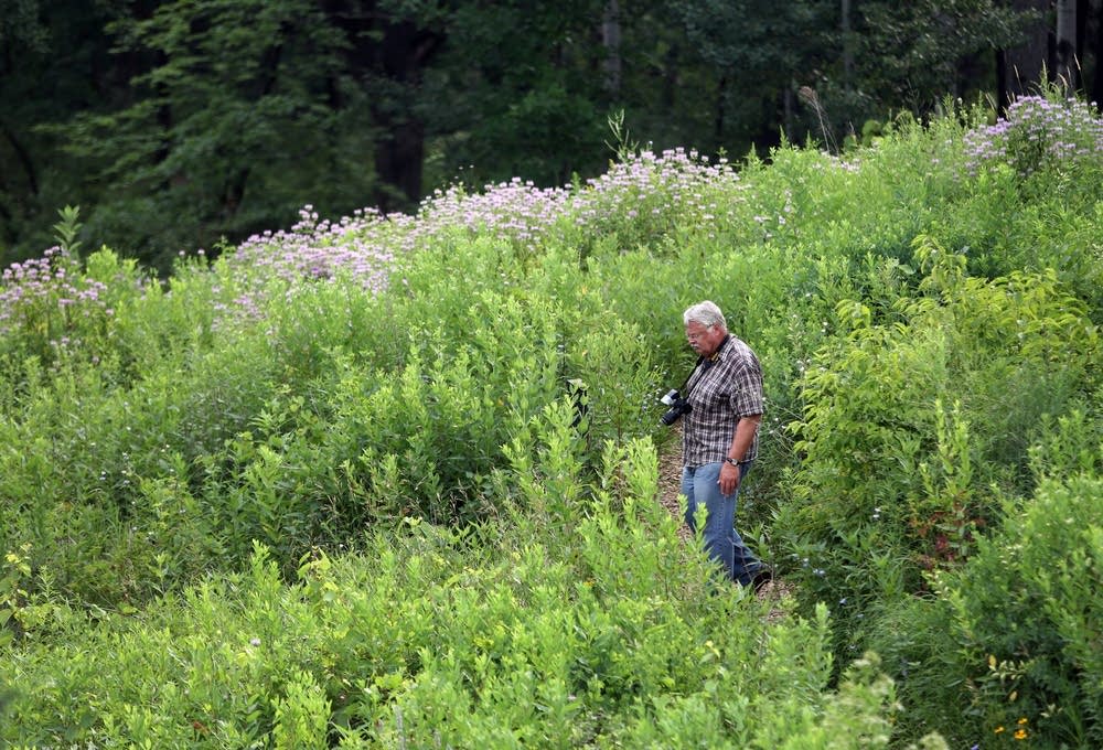
Nature abounds in the Twin Cities. These are five of the finest hiking spots you can hit via public transit in the metro area.
Jeffrey Thompson | MPR News file

No car? No bike? No problem.

The Twin Cities metro area has plenty of spots to get outside and hike that are serviced by public transit.

And the options extend far past the popular Como Park in St. Paul or the chain of lakes in Minneapolis. Here are five places, including some lesser-traveled ones, that have great hiking and a bus stop nearby.

Create a More Connected Minnesota

MPR News is your trusted resource for the news you need. With your support, MPR News brings accessible, courageous journalism and authentic conversation to everyone - free of paywalls and barriers. Your gift makes a difference.

Wood Lake Nature Center trails

Wood Lake Nature Center
Wood Lake Nature Center.
City of Richfield via Facebook

There's prairie, marsh, woods and a lake inside this 150-acre preserve. Hike through it all via several different trails.

Location:

6710 Lake Shore Drive, Richfield

Conditions:

About 4.5 miles of trails, including a boardwalk trail through marshlands. The city of Richfield has a map on its website.

Transit:

Metro Transit 4 and 515 bus routes drop off nearby.

North Mississippi Regional Park
North Mississippi Regional Park.
National Park Service

North Mississippi Regional Park trails

This stretch of the Mississippi River is among the less-traveled ones in the Twin Cities, offering some peace along the river's shoreline. Plus, the trails connect to the Grand Rounds Scenic Byway System, which runs through some of the best nature in the Twin Cities.

Location:

5700 Lyndale Ave. N., Brooklyn Center.

Conditions:

1.6 miles of paved trails.

Transit:

Metro Transit 22 and 32 bus routes drop off nearby on Bryant Avenue North.

Crosby Farm Regional Park
Crosby Farm Regional Park.
NatureNerd via Flickr Creative Commons

Crosby Farm Regional Park trails

This woodsy park off Shepard Road in St. Paul includes river and lake views, plus plenty of hiking. (Note: The park was closed due to flooding as of May 24. Check the city website for updates before planning a trip.)

Location:

2595 Crosby Farm Road, St. Paul.

Conditions:

6.7 miles of paved trails. A map is available from the city of St. Paul.

Transit:

Metro Transit bus routes 46, 84 and 54 drop off nearby.

Quaking Bog in Theodore Wirth Park
Quaking Bog in Theodore Wirth Park.
Kelli Koob via Flickr Creative Commons

Quaking Bog loop

Wear boots or old shoes here, because the bog will almost certainly be wet. However, the rewards of this hike inside Theodore Wirth Park include wildflowers like pitcher plants and other wildlife. The park includes plenty of other hikes and outdoor activities, too.

Location:

In Theodore Wirth Park between Golden Valley and Minneapolis. The trailhead is along Theodore Wirth Parkway between Wayzata Boulevard and Glenwood Avenue.

Conditions:

The trail is about one and a half miles, in a loop. Unpaved trail and a floating dock. Again, it's wet.

Transit:

The Metro Transit 9 bus route drops off near the intersection of Theodore Wirth Parkway and Wayzata Boulevard.

Fort Snelling State Park
Fort Snelling State Park.
MN Photos via Flickr Creative Commons

Fort Snelling at Bdote State Park trails

The state park offers 18 miles of hiking trails near the Mississippi River, Pike Island and two lakes. Cool off after hiking at the swimming beach and learn some Minnesota history at the park's interpretive exhibits. (Note: As of June 2, the park was temporarily closed for flooding. Check the park website for updates.)

Location:

101 Snelling Lake Road, St Paul.

Conditions:

These trails range from mile-paved routes to 3-mile unpaved options. A map is available here.

Transit:

The Metro Transit 7 bus route drops off at the visitors center, and the Fort Snelling Station on the Blue Line light rail is a mile away from the center.

Share your summer adventure with us