
From frost to 80 degrees in a week?
A big warmup is on the way next week.
Go Deeper.
Create an account or log in to save stories.
Like this?
Thanks for liking this story! We have added it to a list of your favorite stories.


We’re about to enjoy another free ride on Minnesota’s weather whiplash express.
The thermometer bottomed out at 38 degrees at MSP Airport Friday morning. Most locations within the Twin Cities hovered above freezing. But it dipped to 32 degrees in Chanhassen and 30 in Lakeville.
Outside of the Twin Cities, temperatures this morning bottomed out below freezing at many locations across southern Minnesota.

Turn Up Your Support
MPR News helps you turn down the noise and build shared understanding. Turn up your support for this public resource and keep trusted journalism accessible to all.
A few snowflakes did manage to fall in extreme northeast Minnesota Thursday.
Major warmup next week
MPR meteorologist Ron Trenda did a nice job laying out the details of the chilly weekend forecast.
But our weather pattern changes again for the warmer next week. Temperatures reach the 70s in western (and possibly the Twin Cities) Minnesota early next week.
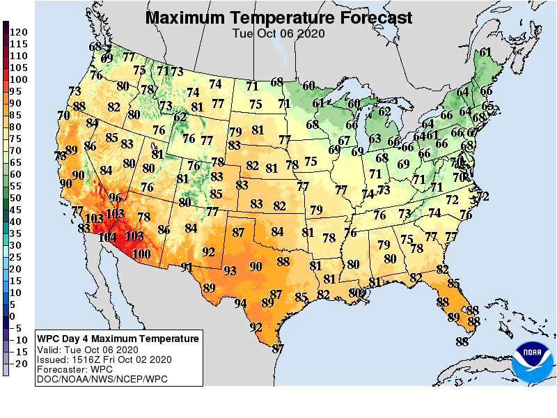
An even warmer shot of air arrives late next week into the weekend of October 10-11.
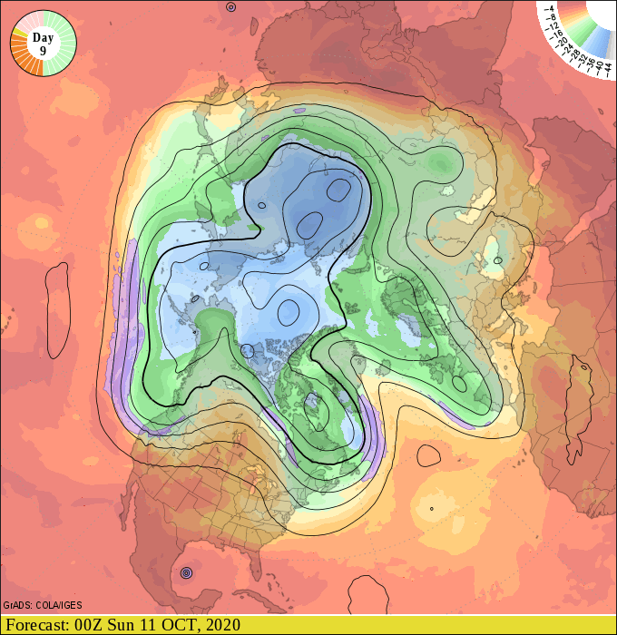
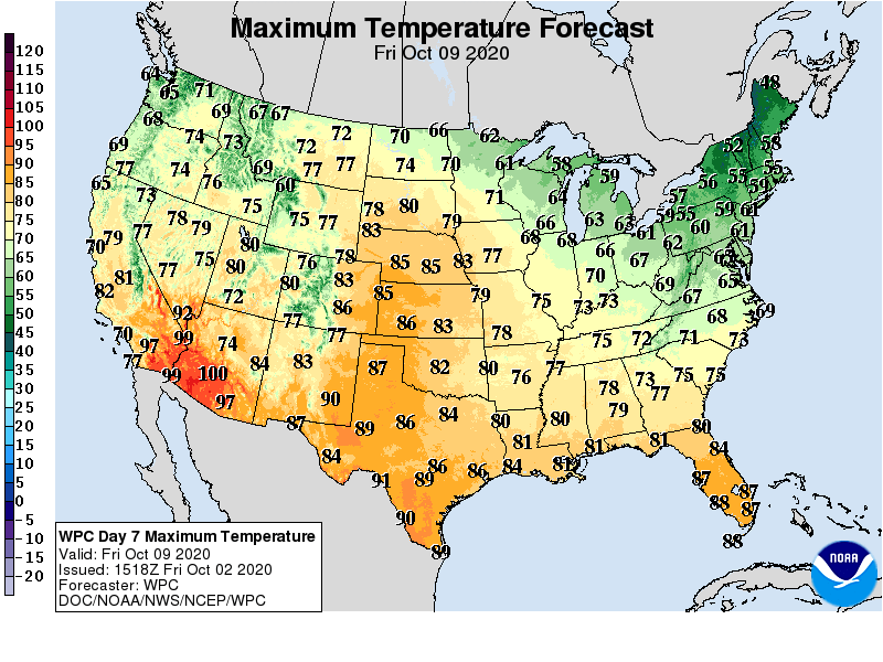
Highs by next Friday will likely push into the 70s over about the southwest half of Minnesota including the Twin Cities. This map may be conservative.
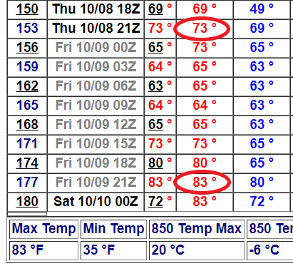
A shot at 80?
The most aggressive forecast charts suggest the Twin Cities could hit 80 degrees in about a week.
Mild through mid-October?
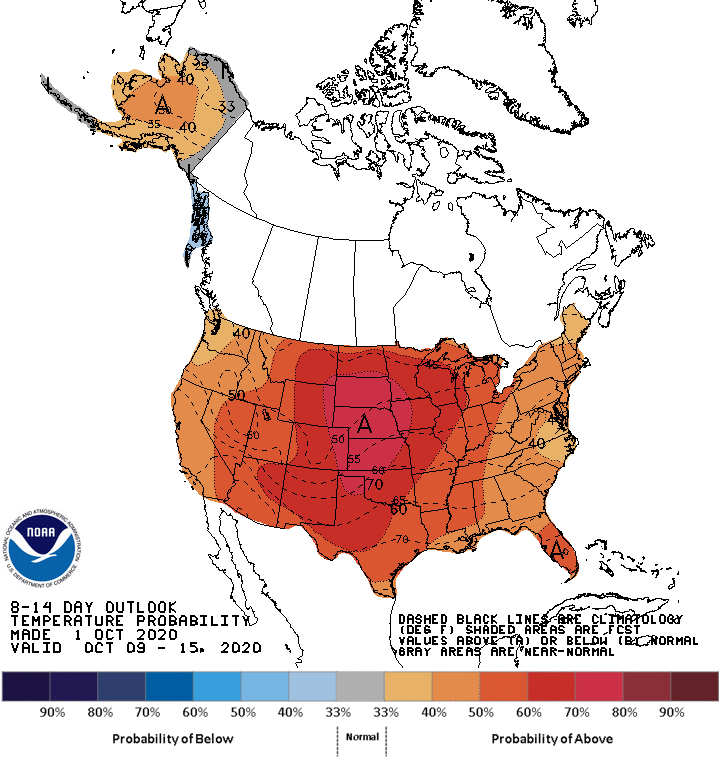
The upper air pattern suggests Minnesota could stay milder than average into mid-October this year.
Stay tuned.

