
More typical December weather ahead; snow chances Christmas week
The weather maps finally look more like December
Go Deeper.
Create an account or log in to save stories.
Like this?
Thanks for liking this story! We have added it to a list of your favorite stories.


It’s beginning to look a lot like … December.
The weather maps have finally taken a more consistent wintry turn. A seasonably colder air mass will remain in place through most of next week. Highs this weekend will be mostly in the 20s. Temperatures could approach 30 degrees in the Twin Cities by Sunday afternoon.
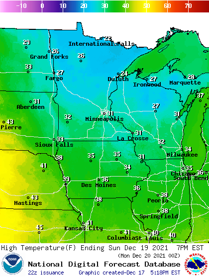
Highs will be mostly in the 20s across Minnesota next week.
Snow chances ahead
I detailed our Friday night into Saturday snow event in my previous post. Light snow should taper off Saturday. Our next snow chance appears to favor northern Minnesota next Tuesday.
Turn Up Your Support
MPR News helps you turn down the noise and build shared understanding. Turn up your support for this public resource and keep trusted journalism accessible to all.
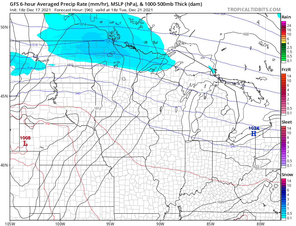
Forecast models are also hinting at a chance of snow on Christmas Eve.
5 tornadoes confirmed in Minnesota
You may have seen my earlier tweet on the five confirmed tornadoes in Minnesota Wednesday night by NWS survey teams from NWS Twin Cities and La Crosse.
Wednesday storm was truly an unprecedented record weather event for Minnesota.
Stay warm and stay tuned Minnesota.

