
Blustery Thursday ahead; snow showers north
Cold front blows in Thursday
Go Deeper.
Create an account or log in to save stories.
Like this?
Thanks for liking this story! We have added it to a list of your favorite stories.


Here comes the cold front.
The Twin Cities topped out at 51 degrees Wednesday afternoon. That’s 5 degrees warmer than the average high of 46 degrees.
While it didn't feel super warm out there, it is above average for Nov. 8.
Meanwhile, northeastern Minnesota awoke to a fresh blanket of November snowfall.
Turn Up Your Support
MPR News helps you turn down the noise and build shared understanding. Turn up your support for this public resource and keep trusted journalism accessible to all.

Thursday brings brisk northwest breezes and colder air into Minnesota. But Thursday’s front is more of an average front, with temperatures closer to seasonal averages across our state.
Highs Thursday will be in the 30s north and 40s south.

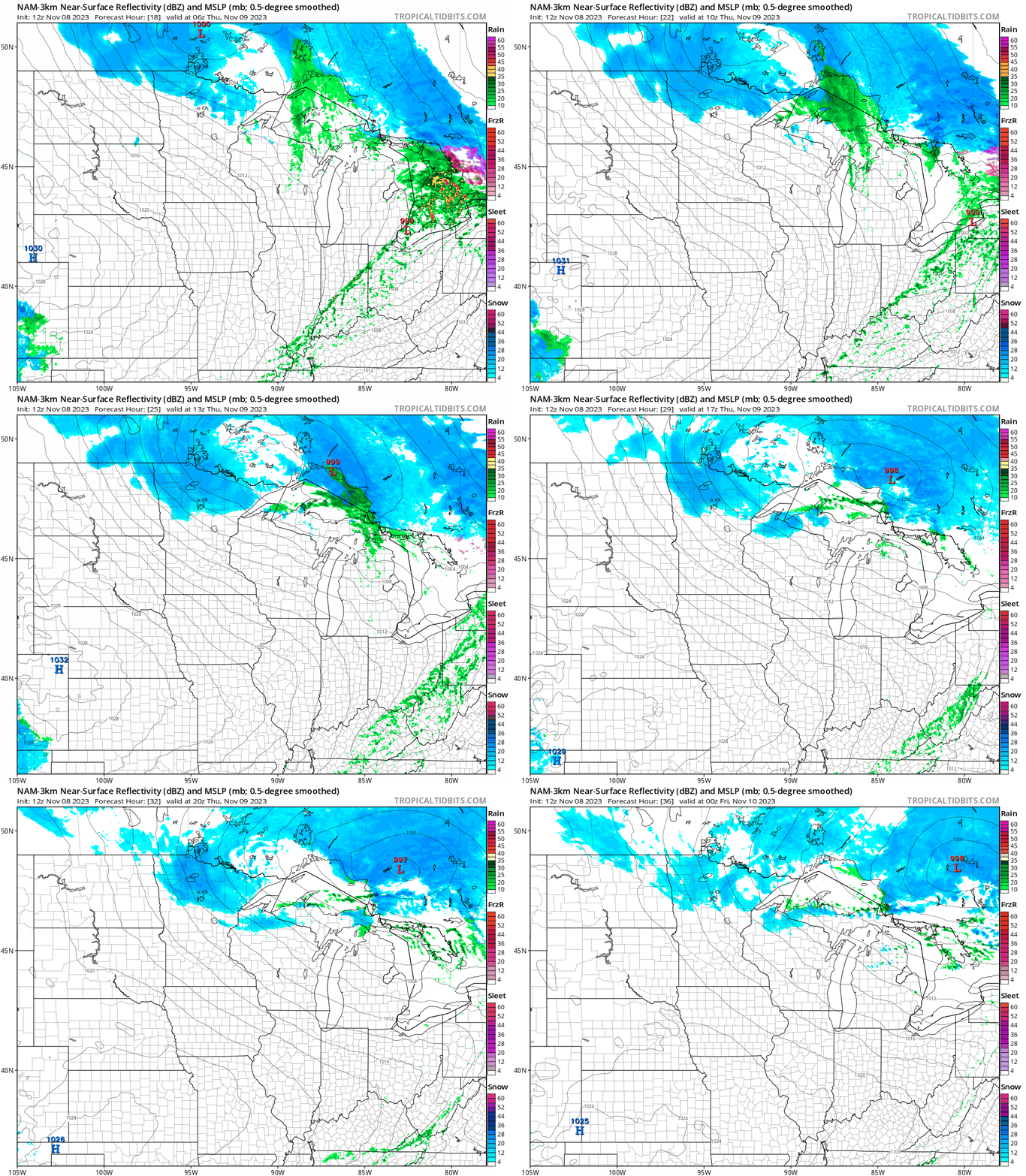
Snow showers will fly across central and northern Minnesota on Thursday.
The National Oceanic and Atmospheric Administration’s NAM 3 km model paints the snow zone across the north Thursday. The forecast model loop at the top of this post below runs between 1 a.m. and 7 p.m. Thursday.
Friday brings another cool day with blue colors all the way into southern Minnesota.

Warmer next week
I’ve written extensively about the major pattern change ahead for next week.
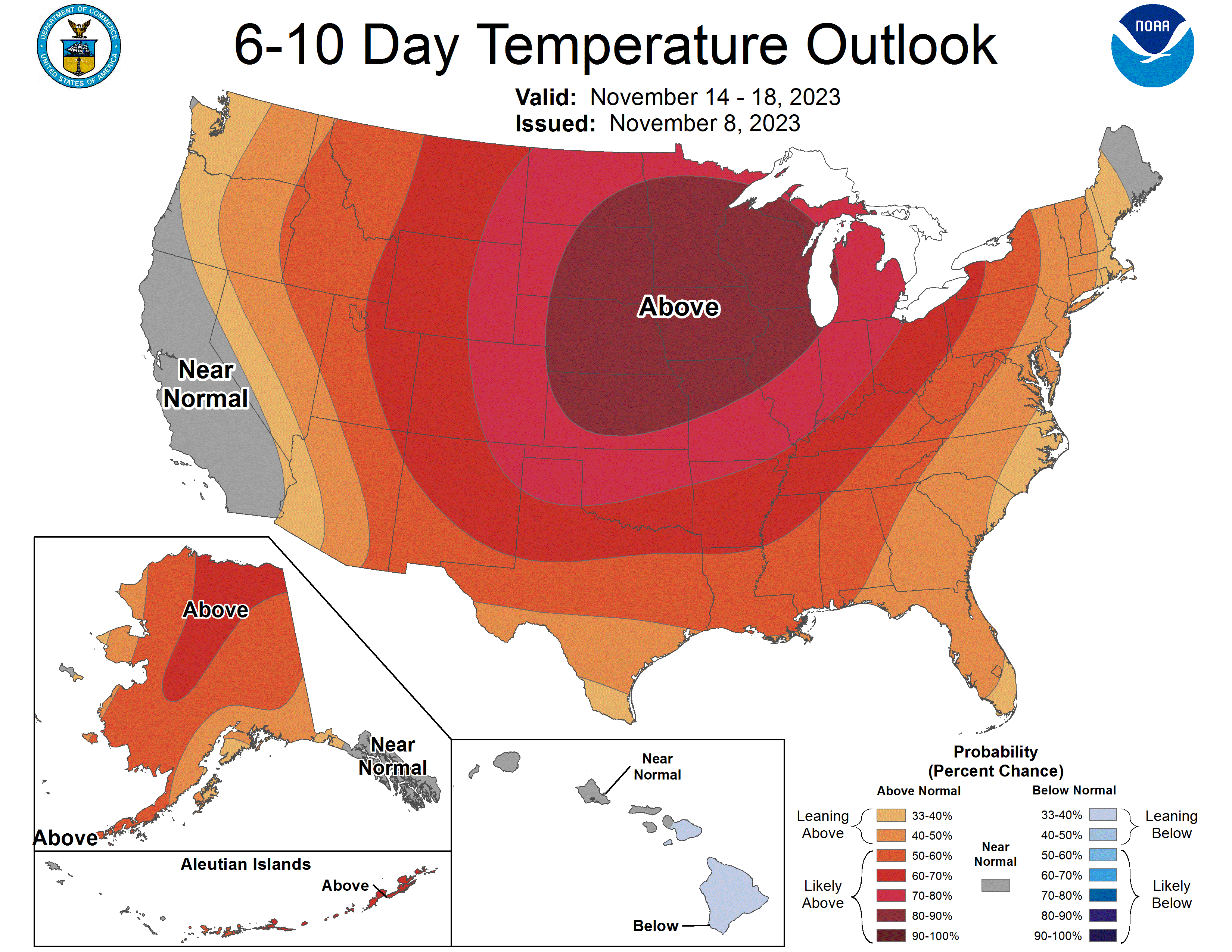
Sunday brings the start of that warming trend. Highs should reach the 50s once again in southern Minnesota by Sunday afternoon.


