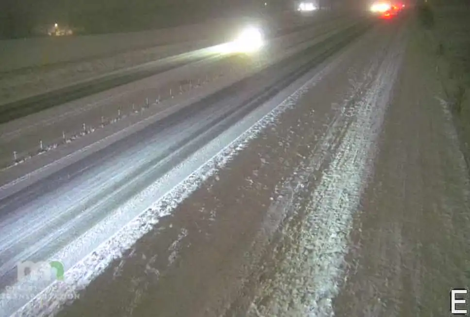
We still have lingering clouds Thursday from the Christmas storm system. Temperatures will remain above normal in the 30s to near 40 for highs Thursday and Friday. Friday will be brighter.
Areas of light snow and drizzle will spread southwest across central and into western Minnesota with minor slushy accumulations Wednesday. No arctic cold in sight.
Thousands of homes and businesses in eastern North Dakota remained without power Wednesday in the wake of freezing rain that left an inch of ice in some communities.
Nearly 2 inches of rain fell on frozen ground since Saturday, much like a spring event. But this late in the year it’s rare for the National Weather Service to issue a flood warning for Fargo-Moorhead.
The "significant" winter storm dropping heavy snow, freezing rains and potentially damaging ice is expected to last through early Wednesday, the National Weather Service warns.
Our Christmas rain storm lingers into Tuesday and Wednesday with scattered rain showers turning to snow showers. Temperatures will be cooler but remain above normal.
When it comes to staying informed in Minnesota, our newsletters overdeliver. Sign-up now for headlines, breaking news, hometown stories, weather and much more. Delivered weekday mornings.