Decoding National Weather Service forecast discussions

NWS technical area forecast discussions give deeper insight into forecast reasoning.

Forecaster at the National Weather Service in Phoenix, AZ
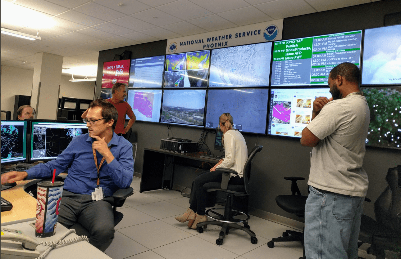
Forecasters at the National Weather Service in Phoenix, AZ
NOAA

Another winter storm is on the way.

You’re a commuter, snowplow driver, or just a fellow weather geek. You check your weather app. You check out the TV and radio meteorologists’ weather blogs and broadcasts. You might even browse through some of the dozens of forecast models. (Buyer beware!) And then you click on your local National Weather Service (NWS) area forecast discussion (AFD) page.

Suddenly, you’re in weather geek heaven.

Area forecast discussion
Twin Cities National Weather Service

Your local NWS area forecast discussion pages layout the forecaster reasoning behind the latest forecast. It’s a technical discussion intended mainly for meteorologists. But the astute weather consumer can learn a lot from these discussions.

Create a More Connected Minnesota

MPR News is your trusted resource for the news you need. With your support, MPR News brings accessible, courageous journalism and authentic conversation to everyone - free of paywalls and barriers. Your gift makes a difference.

Let’s break down some of the elements in a typical forecast discussion.

NOAA supercomputer
NOAA supercomputers
Huttner, Paul

Short term forecast

The first part of the AFD typically focuses on the short term forecast. Precise timing may vary, but generally, this section focuses on the first day or two of the forecast. Here’s the short term AFD from the Twin Cities NWS Wednesday afternoon.

FXUS63 KMPX 152131 AFDMPX Area Forecast Discussion National Weather Service Twin Cities/Chanhassen MN 331 PM CST Wed Jan 15 2020 .

SHORT TERM...(This evening through Thursday night) Issued at 315 PM CST Wed Jan 15 2020

With the last of the precipitation departing our area to the east, the short term period will remain dry with cold temperatures and wind chills becoming the primary concern. Arctic high pressure moves in for a brief period on Thursday behind the departing disturbance that brought a few inches of snow in northern Minnesota today.

Temperatures will be coldest in western Minnesota and marginally better as you head east, with the warmest overnight temperatures in the mid single digits below zero in western Wisconsin. Winds will be strongest before our coldest temperatures arrive, but despite this wind chills likely fall to the negative 30s in western MN to negative 20s in western WI overnight. It will be coldest just before sunrise, with wind chills improving rapidly despite high temperatures in the single digits across the area tomorrow. The good news is that we will likely see a good deal of sunshine as subsidence remains strong underneath high pressure moving eastwards.

The end of the short term period will see the leading edge of precipitation surging towards southern Minnesota, however most guidance has slowed compared to the last few days such that precipitation is expected to begin after daylight on Friday. We could see a bit of snow reaching southwestern Minnesota around sunrise, otherwise the system will arrive by the late morning to early afternoon.

This one is fairly non-technical and pretty self-explanatory. It’s a good summary of what to expect in the first 24 hours. Note that some words are highlighted with links to NWS glossary of explainers.

Lake Minnetonka winter sunset
Huttner, Paul

Long term discussions

As you might expect this section focuses further out in the forecast cycle. It’s often looking at days 3 through 7. Here’s a clip from the early Wednesday morning AFD. (I’ve inserted a few comments in bold that give insight into what the discussion is telling us as meteorologists.)

LONG TERM...(Thursday night through Tuesday) Issued at 535 AM CST Wed Jan 15 2020

All signs continue to points to a winter storm impacting the area Friday into Saturday, with confidence trending higher in both the potential for seeing heavier snowfall amounts of 8-12", as well as gusty winds leading to blowing/drifting snow concerns Saturday.

The general evolution of this event remains consistent, with a trough deepening and taking on a negative tilt as it moves across the central US into the Great Lakes.

(Negatively tilted low-pressure troughs are typically stronger and produce heavier snowfall.)

A surface through the low develops over the central/southern plains Friday and deepens as it moves through the mid-Mississippi Valley into the Great Lakes through the weekend. North of the track of this low, a broad precipitation shield is expected to develop along an inverted trough extending up into the Upper Midwest and lead to widespread winter precipitation across the region. Timing remains fairly consistent as well, with precipitation expected to spread across the area Friday morning and continue into Saturday afternoon. The Gulf of Mexico will be wide open with this system allowing for PW values in the 90- 95% for mid-January to surge into the Upper Midwest, and as such models show high probabilities of QPF amounts in excess of 0.5" from most of the eastern half of Minnesota into west-central Wisconsin.

(This section indicates high precipitable water (PW) within the storm. That tells us there will be plenty of moisture available to produce higher snowfall totals.)

GEFS/SREF/NBM probabilistic guidance have trended towards a tighter clustering of solutions around 0.5-0.8" of QPF across these areas, with more of a spread towards lower amounts across western and southwest/south-central Minnesota.

(0.5” to 0.8” of liquid precipitation would translate into 5 to 8 inches of snow at a 10:1 snow to water ratio. A higher ratio would produce more snowfall. Convective activity can focus this water into higher snowfall pockets within the storm.)

Conditional precipitation-type probabilities show high likelihood of precipitation falling entirely as snow across the area, with higher potential for freezing rain south of the Iowa/Minnesota border. Can`t rule out a brief period of freezing rain or a wintry mix late Friday night near the I-90 corridor, but any impacts from ice would be minor compared to those from heavy snow.

Snow totals could reach 6 to 10 inches across much of central MN into west central WI by midday Saturday. Temperatures will likely fall during the day Saturday as colder air wraps into the area as the low tracks east. Wind chill issues likely to develop into Saturday night/Sunday morning with 25 below to 30 below wind chills forecast to the west and south.

So this section breaks down several elements that forecasters are assessing to make their forecast with Friday’s upcoming snow event.

NOAA GFS model Friday and Saturday
NOAA via tropical tidbits

It’s interesting to me that the process of forecasting is often subjective pattern recognition. Different forecasters often place greater emphasis on different elements of an inbound storm system. That can lead to different forecasts.

There’s plenty of model input and science in making a forecast. But thankfully there’s also still some art involved. And good forecasters at NWS and elsewhere are able to recognize how to improve a forecast beyond the raw model outputs.